National Geographic
National Geographic: Mapping u.s. Watersheds
Students will identify and explore major rivers and watersheds in the United States.
US National Archives
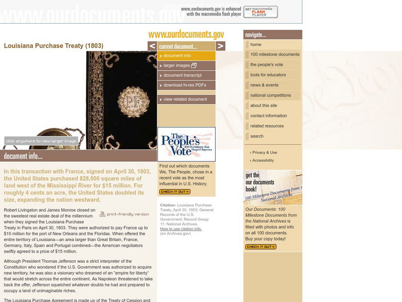
Our Documents: The Louisiana Purchase Treaty (1803)
A fantastic site from the Our Documents group that allows visitors to see an original copy of the Louisiana Purchase Treaty of 1803. This treaty allowed the United States to purchase a tract of land west of the Mississippi River that was...
Huntington Library
Huntington Library: Constitution on Trial: Internment of Japanese in Wwii
In this lesson, 11th graders look at what happened to the Japanese who were living in the United States during World War II and examine their experiences of internment. They will also consider the constitutionality of removing some civil...
Ducksters
Ducksters: Animals for Kids: Colorado River Toad
Kids learn about the Colorado River Toad. The largest native toad in the United States likes dry areas and deserts..
Curated OER
Etc: Maps Etc: Dispute Between United States and Mexico, 1846
A map showing the disputed territory in 1846 between the Nueces River, claimed to be the territory boundary by Mexico, and the Rio Grande River, claimed to be the boundary by the Republic of Texas. The map also shows the old Spanish...
Curated OER
Etc: Theatre of War in the United States, 1861 1865
A map showing the extent of the Confederate territories east of the Mississippi River during the American Civil War (1861-1865). The map shows state lines and capitals, major cities, forts, battle sites, and rivers in the region. The map...
Curated OER
Etc: Maps Etc: The Civil War in the United States, 1861
A map of the southeastern States showing the Federal and Confederate territories at the end of 1861. The railroad network shown is based on 1860 lines. The map shows major cities, mountain systems, rivers, and coastal features of the area.
University of Georgia
University of Georgia: Map of Southern States of America 1795
A large and detailed map of the southern U.S. States and territories to the immediate west. Indicates rivers, the Appalachian Mountains and latitude and longitude.
Alabama Learning Exchange
Alex: Save the Forest
President Theodore Roosevelt believed in the need for conservation and was called America's first environmental president. What steps did he take to help preserve the environment and its natural resources? Today we can enjoy the beauty...
Curated OER
Educational Technology Clearinghouse: Maps Etc: United States, 1789
A map of the United States in 1789, showing the State territorial claims, territories, and areas of territorial dispute. The map is color-coded to show States, territories, British possessions, and Spanish possessions, and shows the...
Curated OER
Educational Technology Clearinghouse: Maps Etc: United States, 1800
A map of the United States in 1800, color-coded to show the States, Territories, British possessions, and Spanish possessions. The map shows State and Territory boundaries at the time, the disputed territory in northern Massachusetts...
Curated OER
Educational Technology Clearinghouse: Maps Etc: United States, 1801
A map of the United States in 1801. The map is color-coded to show the States and territory of the United States west to the Mississippi River, the British territories of Upper and Lower Canada, Rupert's Land, and the Bahamas, the French...
Curated OER
Educational Technology Clearinghouse: Maps Etc: United States, 1917
A map of the United States and territories showing the expansion from the formation of the original states to the purchase of the Danish West Indies (Virgin Islands) in 1917. The map is color-coded to show the original states, the states...
Curated OER
Etc: Maps Etc: United States Canal Zone Showing the Completed Panama Canal, 1920
A map from 1920 of the United States Canal Zone showing the completed Panama Canal. The map shows the entrance ports of Colon on the Caribbean Sea and the city of Panama on the Pacific, the Panama Railroad, the original portion of the...
Curated OER
Etc: Maps Etc: Natural Regions of the United States, 1906
A relief map from 1906 of the United States showing terrain features of mountain systems and highlands, basins, plains, prairies, lakes, rivers, and coastal features.
Independence Hall Association
U.s. History: "American Blood on American Soil"
President James Polk's desire was for the United States to stretch from sea to shining sea. See what happened when his overatures to Mexico to buy the land north of the Rio Grande River were spurned. Take a brief vote to see if Polk was...
PBS
Nh Pbs: Nature Works: Estuaries
Learn more about estuaries when you visit this informative site. This resource provides locations of and weblinks to estuaries in the United States.
NOAA
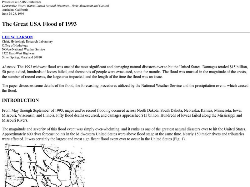
Noaa: The Great Usa Flood of 1993
Interesting abstract about the flood that hit the Midwest in 1993, one of the worst floods in United States History. Find out why the flood occurred, the damage, maps of the damage, charts, graphs, and statistics.
Houghton Mifflin Harcourt
Harcourt: School Publishers: James Fort Rediscovered
Jamestown was the first settlement in the United States in 1607. Once thought to have washed away with the James River, historians have found 10,000 artifacts related to the settlement.
iCivics
I Civics: Louisiana Purchase (1803)
In this map-based lesson, students learn the historic importance of the Mississippi River, why the U.S. was determined to maintain access, and how the United States acquired the land that made up the Louisiana Purchase.
Nature Conservancy
Nature Conservancy: California, Protecting the Golden State
Explore the rich habitats and natural beauty of the California landscape in this interactive video.
Civil War Home
Home of the American Civil War: Battle of Fort Donelson
A thorough overview of the Battle of Fort Donelson from the United States Civil War. It contains links to official records and actual accounts of the battle.
Library of Congress
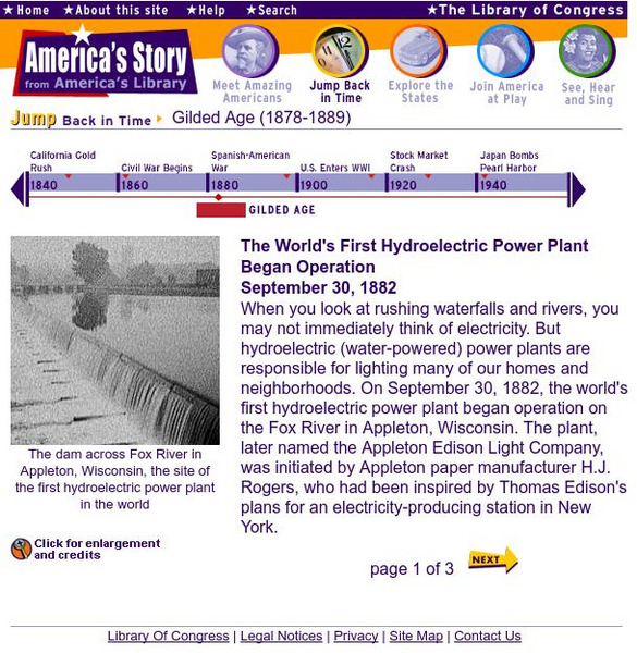
Loc: America's Story: The World's 1st Hydroelectric Plant
This three-page article explores the operation of the first hydroelectric power plant and the spread of renewable energy in the United States.
Other
Ozark Mountains
Learn more about the lakes, rivers, caverns, and outdoor activities in the Ozark Mountains.
Other popular searches
- Major United States Rivers
- United States Rivers Map
- Maps, United States Rivers
- Maps United States Rivers


