Curated OER
Bhutan, the Last Shangri-La: Sandwich Squash: How the Himalayas Were Formed
Middle schoolers create and record a model of mountain formation. They identify major mountain building formations. Students understand how the Himalaya Mountains were formed, why they are located near Bhutan, and why they are becoming...
Curated OER
What's the Difference?
Students discover how volcanic processes differ at convergent and divergent tectonic plate boundaries. They identify three geologic features that are associated with most volcanoes on Earth.
Curated OER
Heat Up the Floating Plates
Eighth graders research the connection between the convection currents within the mantle of the earth and the moving of Earth's plates. A connection to lessons at previous grade levels on the rock cycle and important background...
Curated OER
How Do We Forecast Weather?
Third graders investigate how scientists collect weather data in order to forecast the weather. They work in small groups in order to research one type of weather technology such as, satellite images, radar, surface observations, or...
Curated OER
Tracking the Weather Using Technology
Fourth graders explore the use of technology to monitor and forecast weather. They investigate the different types of weather monitoring and forecast tools. Students interpret radar images and discuss the traditional types of weather...
Curated OER
It Looks Like Champagne
Students determine some practical implications of the discovery of liquid carbon dioxide in deep-ocean ecosystems. They interpret phase diagrams and explain the meaning of "critical point" and "triple point."
Discovery Education
Discovery Education: Understanding Tsunamis
Come and learn more about the devastating effects of tsunamis. This site features video segments revealing the devastation tsunamis can cause and how tsunamis are formed.
Open Ed
Open Ed Sci: 6.5 Natural Hazards
This unit begins with students experiencing, through text and video, the 2011 Great Sendai or Tohoku earthquake and subsequent tsunami that caused major loss of life and property in Japan. Students will think about ways to detect...
Geographypods
Geographypods: Hazards and Risk Management: Adjustments and Responses
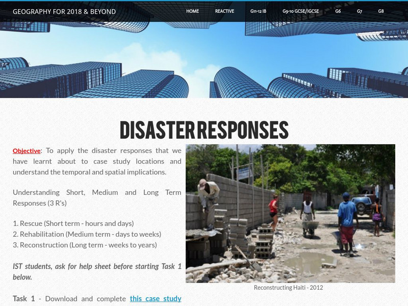
In this learning module, students learn about disaster responses, the three types (short, medium, and long-term) and the different levels of response (local, national, and international). They examine the responses in various case...
Better Lesson
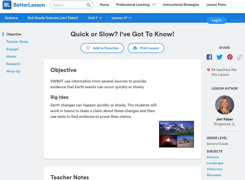
Better Lesson: Quick or Slow? I've Got to Know!
Earth changes can happen quickly or slowly. The students will work in teams to stake a claim about these changes and then use texts to find evidence to prove their claims. Included in this lesson are video clips of the class, a list of...
Better Lesson
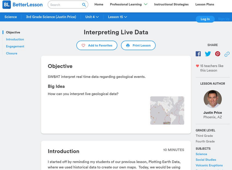
Better Lesson: Interpreting Live Data
Students will be using live data about volcanoes and earthquakes to look for patterns and understand why natural disasters may or may not be able to be predicted. Resources include helpful websites, a video of the lesson in action,...
Other
E Gfi: No Toppling This Tower
Read and learn about Tokyo's 2080-foot Sky Tree, the world's largest broadcast tower built to sustain earthquakes. The information and photo are provided, but the video is no longer available.


