Curated OER
Educational Technology Clearinghouse: Maps Etc: Post Wwi Northern Africa, 1920
A political map of the northern part of the African continent after WWI with reference to territories controlled by European countries and showing the former German territories ceded by the Treaty of Versailles to France and Britain....
Curated OER
Etc: Maps Etc: Post Wwi Central and Southern Africa, 1920
A map of central and southern Africa in 1920 showing colonial possessions of the British, French, Italian, Portuguese, Spanish, and Belgians, including the former German colonies, lost after WWI, to French and British control per the...
Curated OER
Educational Technology Clearinghouse: Maps Etc: Germany After Wwi, 1919
A map showing the boundaries of Germany after the Treaty of Versailles in1919 showing the German boundary in 1914 and territories lost after the war, the "Free territory" of Danzig on the Baltic Coast, the Plebiscite areas in Schleswig,...
Georgia Department of Education
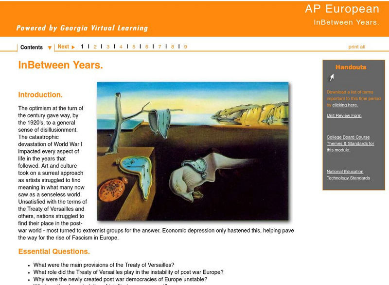
Ga Virtual Learning: The in Between Years
Comprehensive AP European History learning module on the "Inbetween Years" following WWI, traces the years from the Treaty of Versailles to the rise of Nazi and Fascist regimes in Europe. Includes individual as well as collaborative...
Library of Congress
Loc: A Guide to World War I Materials
A web guide of links to World War I resources throughout the Library of Congress web site and beyond.
Siteseen
Siteseen: American Historama: Ww1 Armistice
Comprehensive summary provides facts and information that relates how the WWI Armistice (cessation of hostilities) ended the fighting on the Western Front in Europe.
Tom Richey
Tom Richey: 1920's Politics, Taxes, and Foreign Policy
Check out a comprehensive slideshow that dives into the key components of the American government which the people disagreed with following World War I.
PBS
Pbs Teachers: The Great War (World War I Lesson Plans)
Eight lesson plans for exploring aspects of World War I, also known as the Great War, with instructions for introducing middle-school learners to the causes of the conflict; to the great symbol of the war's stalemate--the trenches; to...
Digital History
Digital History: Woodrow Wilson and the League of Nations [Pdf]
President Woodrow Wilson had great hopes that a League of Nations would mean that there would be no more world wars. Read about the charter for the League of Nations, especially Article X, which provided the teeth for the organization....
Khan Academy
Khan Academy: Us History: 1890 1945: The League of Nations
After World War I, US President Woodrow Wilson helped to build an international peacekeeping organization.
Utah Education Network
Uen: Themepark: Liberty: World War I
Find a large collection of internet resources organized around World War I. Links to places to go, people to see, things to do, teacher resources, and bibliographies.
Other
Suffolk County Community College: Weimar Republic
This is a series of questions and answers on the Weimar Republic.
Curated OER
Educational Technology Clearinghouse: Maps Etc: Europe, 1920
Map of Central and Western Europe after the Treaty of Versailles at the end of WWI. The map includes railroads, canals, shipping routes, major cities and capitals, and the country boundaries established by the Treaties of Versailles,...
Curated OER
Educational Technology Clearinghouse: Maps Etc: Central and Western Europe, 1920
Map of Central and Western Europe after the Treaty of Versailles at the end of WWI. The map includes railroads, canals, major cities and capitals, and the country boundaries established by the Treaties of Versailles, proposed boundaries...
Curated OER
Etc: Maps Etc: Political Boundaries in Europe, 1920
Map of Central and Western Europe after the Treaty of Versailles at the end of WWI. The map includes railroads, canals, shipping routes, major cities and capitals, and the country boundaries established by the Treaties of Versailles,...
Curated OER
Educational Technology Clearinghouse: Maps Etc: Africa, 1920
A map of Africa in 1920 showing colonial possessions of the British, French, Italian, Portuguese, Spanish, and Belgians, including the former German colonies, lost after WWI, to French and British control per the Treaty of Versailles.
Curated OER
Etc: Maps Etc: European Possessions of Africa, 1922
A political map of Africa showing European possessions after WWI and the ceding of German possessions in accordance to the Treaty of Versailles. The inset map details the Cape Verde Islands and Senegal, Gambia, and Portuguese Guinea.
Curated OER
Educational Technology Clearinghouse: Maps Etc: Austria and Hungary, 1920
A map of the former Austria-Hungary after the Treaty of Versailles following WWI, showing pre-war and post-war boundary changes. The map shows the new boundaries of Czechoslovakia and Jugoslavia, the losses to Poland, Ukraine, Romania,...
Then Again
Then Again: Web Chron: United States of America Chronology: Wilson's Fourteen Points
A summary of what President Wilson's Fourteen Points were. Provides a brief discussion of why the 14th point was the most controversial.


