Curated by
ACT
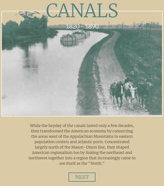
This American Panorama: Canals: 1820 1860 graphic also includes:
Interactive map depicting the system of canals in the U.S. prior to the Civil War. Select by canal to see interesting details, a map and get a sense of goods traded and travel in antebellum America.
3 Views
0 Downloads
Concepts
Additional Tags
Classroom Considerations
- This resource is only available on an unencrypted HTTP website.It should be fine for general use, but don’t use it to share any personally identifiable information

