University of Richmond
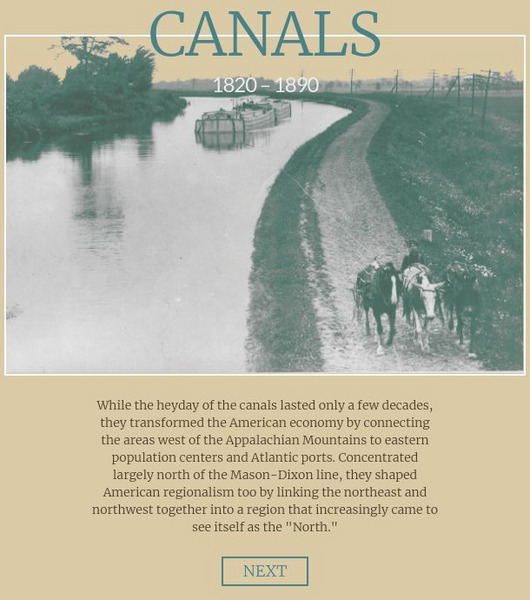
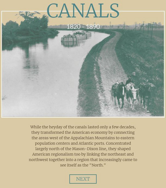
Canals 1820-1860
While canals are not a common mode of transportation today, they were part of the fuel for America's industrialization. However, most of them were located in the North, also feeding regional differences and sectionalism. Using an...
University of Richmond
Foreign-Born Population 1850-2010
If America is a nation of immigrants, where are they from and why did they come? Demographic data and interactive maps help pupils consider answers to these questions by examining the statistics of foreign-born Americans. Features allow...
University of Richmond
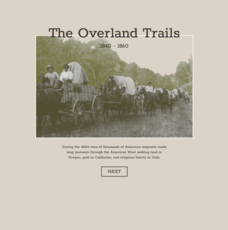
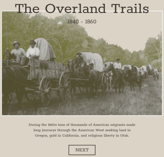
The Overland Trails 1840-1860
What led Americans to head west in the 1800s? Using an interactive map and journals from those who traveled, pupils explore the stories of those who migrated. In addition, they see how the numbers fluctuated in response to the push-pull...
University of Richmond
The Forced Migration of Enslaved People 1810-1860
Slavery not only involved the forced migration of African people from their homes, it also meant the forced removal of people within the United States. Using data and interactive graphics, scholars see how the tragedy of human slavery...
University of Richmond
The Executive Abroad 1905-2016
While the president often appears to jet around the world on diplomatic missions, having the commander in chief travel abroad is a modern phenomenon, starting in the 20th century. Using a graphic, learners explore which presidents...
University of Richmond
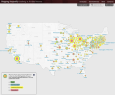
Mapping Inequality: Redlining in New Deal America 1935-1940
Redlining—or the practice of racial discrimination in housing loans—directly led to today's segregated living patterns in America. Using data from the federal Home Owners' Loan Corporation, classmates visualize the impact of policy on...
University of Richmond
Renewing Inequality: Family Displacements through Urban Renewal 1950-1966
What is progress? Who bears its cost? High schoolers consider the questions as they review data on families displaced by urban renewal projects in the 1950s and 1960s. An interactive, curated data project asks historians to consider the...
University of Richmond
University of Richmond Writing Center: Commonly Confused Words
A comparison of commonly misused words in the English Language. Words are paired next to one another with their definitions as well as examples of each.
University of Richmond
University of Richmond: Forced Migration Map
Interactive map and graph that shows forced migration of enslaved persons between 1810 and 1860. Can be viewed state by state and chronologically.
University of Richmond
Digital Scholarship Lab: American Panorama: Foreign Born Population
Explore trends in immigration to the United States between 1850 and 2010 with this interactive map. Each year shows the numbers of people that were born in a foreign country, with the data being represented in multiple ways. Use the...
University of Richmond
American Panorama: Canals: 1820 1860
Interactive map depicting the system of canals in the U.S. prior to the Civil War. Select by canal to see interesting details, a map and get a sense of goods traded and travel in antebellum America.
University of Richmond
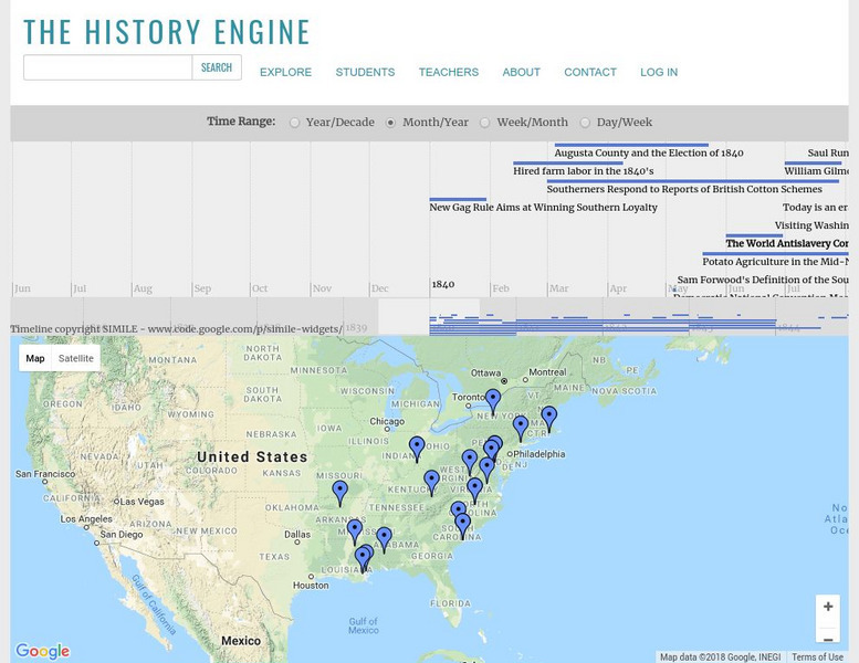
University of Richmond: The History Engine
Explore this in-depth history of the United States beginning in 1840 by clicking on a date or location on this interactive map, or by manipulating the timeline above. Each event is accompanied by a description and details, with links to...
University of Richmond
History Engine: Tools for Collaborative Education & Research
The History Engine is an educational tool that gives students the opportunity to learn history by doing the work-researching, writing, and publishing-of a historian. The result is an ever-growing collection of historical articles or...
University of Richmond
University of Richmond: History Engine: Maggie L. Walker
This brief biography of Maggie L. Walker outlines her rise to success as the first African American bank owner in the United States.
University of Richmond
American Panorama: Canals
Excellent resource maps the growth of canals and economic development in the nineteenth-century by presenting data about the commodities and products that moved across the canals and shows the spaces that canals connected.
University of Richmond
American Panorama: Foreign Born Population
The culture and politics of the US have always been profoundly shaped by the material and emotional ties many of its residents have had to the places where they were born. This interactive map enables users to explore the connections...
University of Richmond
American Panorama: The Overland Trails 1840 1860
Interactive map highlights the emigrations of men and women over the Oregon, California, and Mormon Trails in the 1840s and 50s. Also features a timeline of migration, diary entries from individual migrants, and a flow map showing how...
University of Richmond
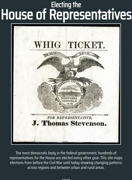
American Panorama: Electing the House of Representatives 1840 2016
This excellent site maps elections from 1840-2016 showing changing patterns across regions and between urban and rural areas. It offers comprehensive data on the history of Congressional elections and users can track their own district's...
University of Richmond
American Panorama: The Executive Abroad 1905 2016
The Executive Abroad maps the international trips of presidents and secretaries of state. Interactive allows the user to select a President or Secretary of State to map their travels and see the frequency of visits to each geopolitical...
University of Richmond
Digital Scholarship Lab: Voting America: Congressional Elections
Animated maps analyze data pertaining to congressional elections b.etween 1992-2008.
University of Richmond
Digital Scholarship Lab: Voting America: Presidential Elections 1928 1968
Presented are various maps that show how American voters have cast their ballots in US presidential elections from 1928-1968.
University of Richmond
Digital Scholarship Lab: Voting America: Presidential Elections 1884 1924
Presented are various maps that show how American voters have cast their ballots in US presidential elections from 1884-1924.
University of Richmond
Digital Scholarship Lab: Voting America: Presidential Elections 1840 1880
Presented are various maps that show how American voters have cast their ballots in US presidential elections from 1840-1880.


