Curated by
ACT
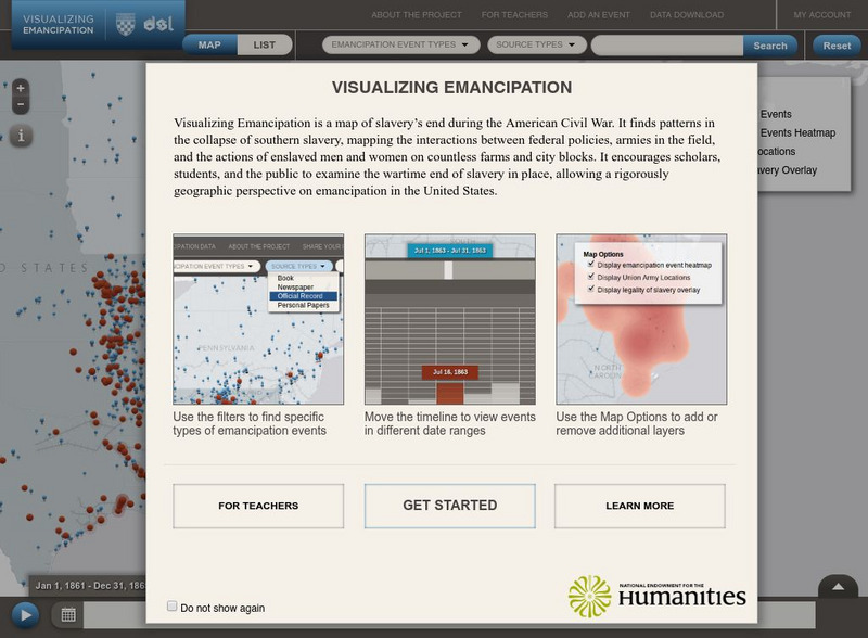
A map of slavery's end during the American Civil War. It finds patterns in the collapse of southern slavery, mapping the interactions between federal policies, armies in the field, and the actions of enslaved men and women on countless farms and city blocks. Examine the wartime end of slavery in place, allowing a rigorously geographic perspective on emancipation in the United States.
3 Views
0 Downloads
Concepts
Additional Tags
Classroom Considerations
- Knovation Readability Score: 5 (1 low difficulty, 5 high difficulty)
- This resource is only available on an unencrypted HTTP website.It should be fine for general use, but don’t use it to share any personally identifiable information

