Curated by
ACT
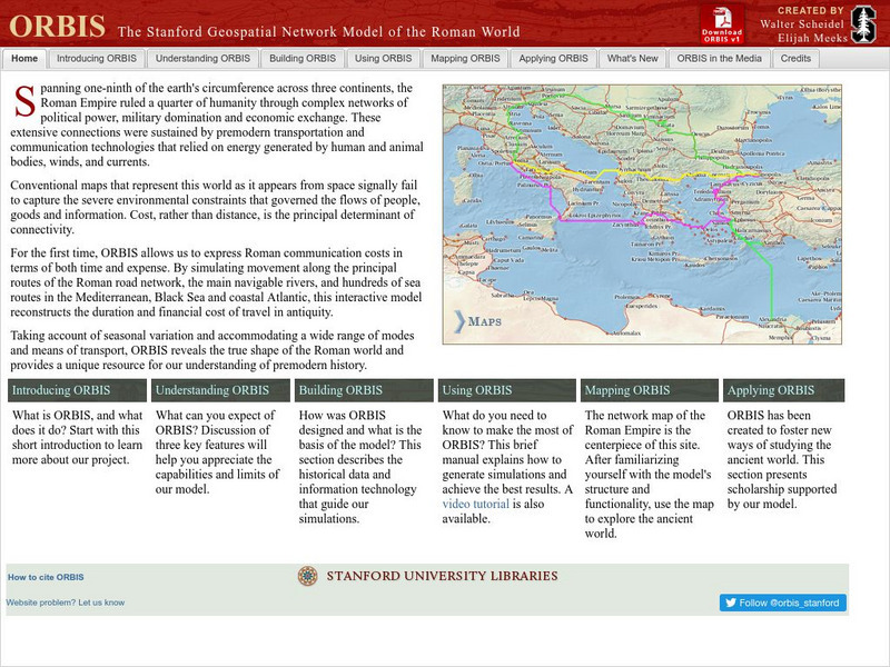
ORBIS is an incredibly complex, and fascinating, geospatial compilation of 751 Roman sites over an area close to 4 million square miles. The model attempts to shed insight into how the Roman Empire functioned as a whole, and how it was able to connect people and exert power over them across such vast (in those days) distances. The networks of transportation, and thus, communication, are woven into the model, with fourteen different methods of road travel represented, as well as travel on twenty-five rivers and by sea. Users of the simulation can input parameters for a journey and see the route mapped out and a breakdown of the cost. Researchers have also posted papers they have written where they have used ORBIS.
5 Views
3 Downloads
Concepts
Additional Tags
Classroom Considerations
- Knovation Readability Score: 5 (1 low difficulty, 5 high difficulty)
- This resource is only available on an unencrypted HTTP website.It should be fine for general use, but don’t use it to share any personally identifiable information

