Curated OER
No Place Like Home
Students analyze photographs of high plains sod homes and read accompanying narratives. They then choose one photograph and, using the copy and paste features and simple drawing tools available in Microsoft Word, students identify...
Curated OER
Pirate Treasure Hunt
First graders name the directions North, South, East, and West on a map. They work collaboratively in small groups and create a treasure map using directions as clues.
Curated OER
Orienteering Scavenger Hunt Lesson Plan: Middle School
First, teach your class how to read a compass, and then do the scavenger hunt. This is rather a nice little activity to do. It can be done as part of a unit on orienteering or just for the fun of it as a stand-alone lesson. The fun...
Curated OER
Cardinal Directions
First graders study cardinal directions on maps. In this geography lesson, 1st graders determine and show where North, South, East, and West are on various maps.
Curated OER
The Oregon Trail
Students use maps and diagrams to examine the Oregon Trail. In groups, they create their own poster of the trail showing the different types of artifacts found along the way. To end the lesson, they identify the sources of water and...
Curated OER
Don't Fence Me In
Students examine historical information about the development of barbed wire and practice identifying geometric terms. After reading through background information, they participate in several activities that include making calculations...
Curated OER
Don't Fence Me In
Ensure that your class has a well-rounded understanding of new inventions, in this case barbed wired. Class members, after researching the history and development of barbed wire, assess its impact on cattle and the development of the...
Curated OER
All About the Animals
Whose footprints are those? After reading Janet Halfmann's book, Little Skink's Tail, young scholars use footprints to determine where on a gridded map certain animals have been spotted. They use the map to answer 3 questions, one...
Curated OER
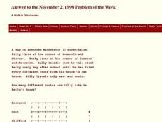
A Walk in Winchester
In this Winchester activity, students determine the number of different routes to a determined location. This one-page activity contains 1 problem. The answer is provided at the bottom of the page.
Curated OER
Latitude Longitude
For this latitude and longitude worksheet, students plot 39 latitude/longitude locations on a graph, connecting the dots as they go along.
Curated OER
Latitude Longitude
In this latitude and longitude worksheet, students plot 34 latitude/longitude locations onto a graph, connecting the dots as they go along.
Curated OER
Writing Vectors
For this vectors worksheet, students draw 15 vectors using a given key with direction and measurement. Students are given a specific distance and direction for each vector to draw.
Curated OER
Delightful Directions
First graders identify and demonstrate how symbols and models are used to represent features of the environment. They identify the directions on a map as east, west, north, and south. Finally, 1st graders play a direction game, move to...
Curated OER
Manifest Destiny and Westward Expansion
Students discover how manifest destiny and westward expansion are related. Using the Internet, they research the beginnings of the movement of manifest destiny and how it influenced people moving westward. They discuss the expectations...
Curated OER
That's NorthEastWestSouth to Me!
Students demonstrate north, south, east and west. In groups, students participate in games to decide what directions a specific bear must travel. They play a "Simon Says" game to develop single step directions. Students listen to and...
Curated OER
Through The Looking Glass
Learners examine the time period of westward expansion. In groups, they use the internet to research the reasons why people moved west during the 1800s. They write their own narratives playing the role of a member of a pioneer family...
University of California
University of California: Robert B. Honeyman Jr. Collection
This collection at the University of California-Berkeley can now be accessed online through the Online Archive of California. It provides a vast collection of historically significant primary source images of early California and the...
National Gallery of Art
National Gallery of Art: Benjamin West's "The Death of General Wolfe"
This site provides a smaller and less-clear version of West's "The Death of General Wolfe." Also, it contains a brief commentary on the work of art.
Curated OER
National Park Service: American Southwest
After reading a brief introduction on the history of the Southwest, click on the list of sites. You will find hyperlinks to important and historic sites that are located in Arizona, New Mexico, and Colorado.
Other
Official Site of the Los Angeles Rams
Official website of the Los Angeles Rams with team information.
Utah Education Network
Uen: Expanding Map Vocabulary
First graders will be able to name the vocabulary words in Navajo, Ute, and Spanish for the cardinal directions.
PBS
Pbs Learning Media: Primary Source Set: Manifest Destiny
This collection uses primary sources to explore the idea of Manifest Destiny and its influence.
Houghton Mifflin Harcourt
Harcourt: School Publishers: Postcards From the Southwest
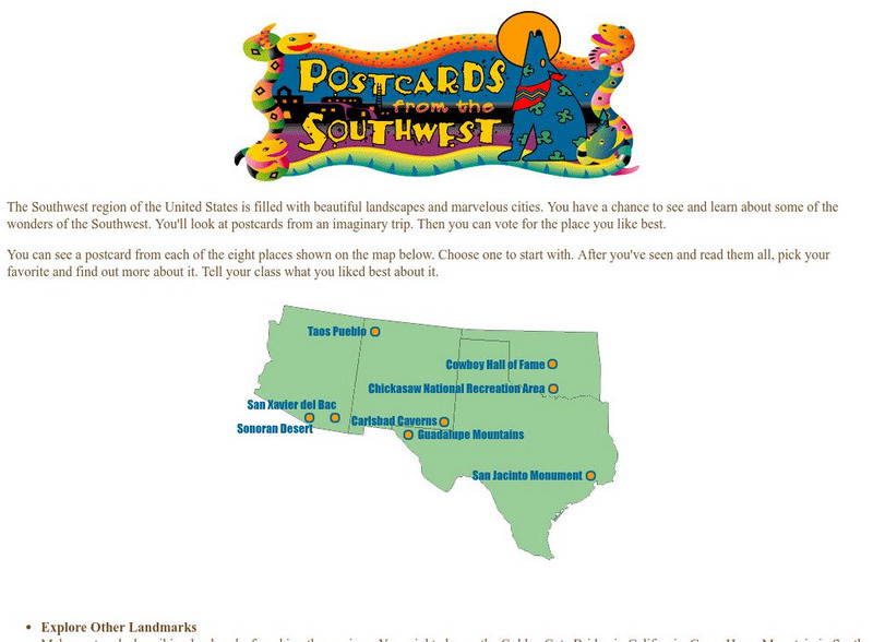
The Southwest region of the United States is filled with beautiful landscapes and marvelous cities. Use this site to see and learn about some of the wonders of the Southwest. You'll look at postcards from an imaginary trip. Then you can...
Library of Congress
Loc: Language of the Land
Language of the Land uses the metaphor of a journey to tour the rich literary heritage of the US through maps, the words of authors, images of characters, and photographs.


