CK-12 Foundation
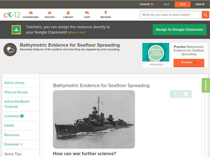
Ck 12: Earth Science: Bathymetric Evidence for Seafloor Spreading
[Free Registration/Login may be required to access all resource tools.] Seafloor features and how scientists map them.
CK-12 Foundation
Ck 12: Plix: Bathymetric Evidence for Seafloor Spreading
[Free Registration/Login Required] A site where students can label the features of the ocean floor such as: mid-ocean ridge, rift, and more. Also on the site is a short quiz about the different topography of the ocean floor.
Science Education Resource Center at Carleton College
Serc: How Does the Temperature of the Great Lakes Change Over Time?
This activity allows students to use water surface temperature, bathymetric data, and weather data to look at trends in the water temperature of the Great Lakes.
Science Education Resource Center at Carleton College
Serc: Fathoms, Ship Logs, and the Atlantic Ocean
Students use data from ship logs to graph a profile of the Atlantic Ocean. They will rely on prior knowledge of seafloor topography, instructions on how to read a bathymetric map, and observe a demonstration where the depth of the ocean...
Science Education Resource Center at Carleton College
Serc: Fire and Ice: Volcanic and Glacial Features on Land and Seafloor
Students learn about glacial and volcanic features by examining and comparing bathymetric and topographic images of the Sand Point area of Alaska.
CK-12 Foundation
Ck 12: Earth Science: Map Projections
[Free Registration/Login may be required to access all resource tools.] How to use topographic, bathymetric, and geologic maps.
CK-12 Foundation
Ck 12: Earth Science: Maps
[Free Registration/Login may be required to access all resource tools.] How to use topographic, bathymetric, and geologic maps.
CK-12 Foundation
Ck 12: Earth Science: Seafloor: Characteristics and Spreading Study Guide
[Free Registration/Login may be required to access all resource tools.] A brief overview of the methods scientists use to study the ocean seafloor and the features that can be found there. Discusses the magnetic polarity of the seafloor...
CK-12 Foundation
Ck 12: Earth Science: Maps
[Free Registration/Login may be required to access all resource tools.] How to use topographic, bathymetric, and geologic maps.
CK-12 Foundation
Ck 12: Earth Science: Maps
[Free Registration/Login may be required to access all resource tools.] How to use topographic, bathymetric, and geologic maps.
CK-12 Foundation
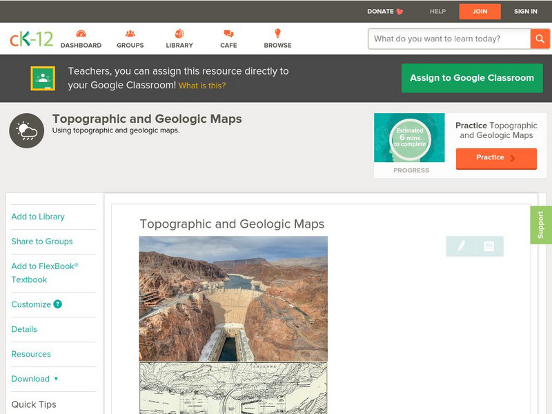
Ck 12: Earth Science: Topographic and Geologic Maps
[Free Registration/Login may be required to access all resource tools.] How to use topographic and geologic maps.
Other popular searches
- Bathymetric Maps
- Bathymetric Mapping
- Bathymetric Survey of Oceans
- Bathymetric Sounding
- Bathymetric Chatrs
- Bathymetric Charts
- A Bathymetric Map
- Bathymetric Profiles


