TeachEngineering
Teach Engineering: Projections and Coordinates: Turning a 3 D Earth Into Flatlands
Projections and coordinates are key advancements in the geographic sciences that allow us to better understand the nature of the Earth and how to describe location. These innovations in describing the Earth are the basis for everything...
Library of Congress
Loc: Civil War Maps
The Library of Congress provides a large collection of maps dating back to the Civil War. The collection consists of reconnaissance, sketch, coastal, and theater-of-war maps which depict troop activities and fortifications during the...
US Geological Survey
U.s. Geological Survey
The U.S. Geological Survey reports on the latest news affecting the earth today, as well as providing a wealth of data, reports, and information.
Annenberg Foundation
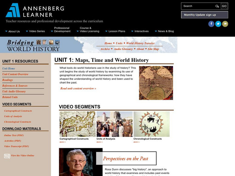
Annenberg Learner: Bridging World History: Maps, Time, and World History
Learn how map projections and chronological constructs are used in the study of world history and help us to understand and interpret the past. Part of a larger site on world history, this unit on maps offers complete reading,...
Other
Nine planets.org: Ptolemy
This site from the University of Arizona provides a background of Ptolemy's profound influence in the areas of astronomy, geography, and cartography. Includes good pictures and related links.
EL Education
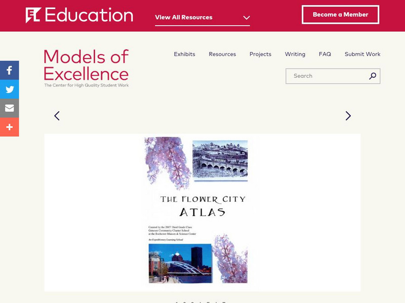
El Education: Flower City Atlas
3rd grade students in Rochester, New York, created this historical/environmental guide to the City of Rochester as part of a learning expedition on local history. The guiding questions were: How did Rochester become the Flower City? How...
Library of Congress
Loc: Portuguese Mapping the New World
The Library of Congress provides a discussion of the importance of Portugal in the "European Age of Discovery and Exploration." Includes links to related pages within this same Library of Congress site.
Library of Congress
Loc: Language of the Land
Language of the Land uses the metaphor of a journey to tour the rich literary heritage of the US through maps, the words of authors, images of characters, and photographs.
US Environmental Protection Agency
Epa: Enviro Mapper Store Front
Lets kids create their own maps, down to the square mile, anywhere in America, choosing various features from water discharges to hazardous waste to roads.
Other
Map of the First and Second Voyages of Vitus Bering
This is simply a black and white map tracing Vitus Bering's two Nordic Expeditions, or ?Kamchatka? Expeditions, which ended in his death in 1741. Students may want to print the map or use as a guide with other resources.
US Geological Survey
Usgs: The National Map
The United States Geological Survey explains the creation and the uses of the National Map. The student can access the map and explore the United States in an interactive setting.
Other
Richard Phillips: Making Maps Easy to Read
This geography research project surveys factors that make maps easy to read and to use.
Other
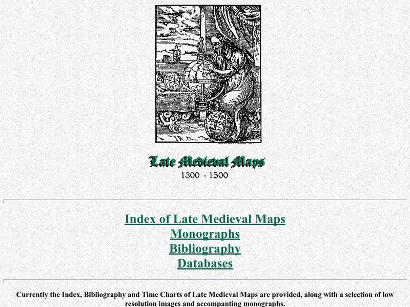
Cartographic Images: Late Medieval Maps 1300 1500
Find some incredible maps of early cartographers. What did they know of the world then? Did they know it was round? Take a look at this site.
Other
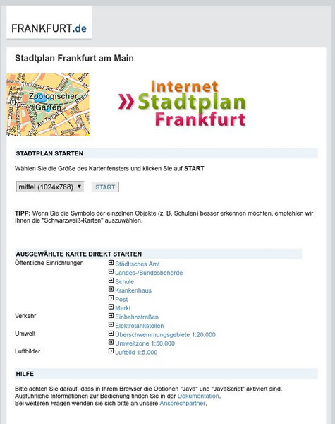
Stadtplan: Frankfurt Am Main
Stadtplan.net provides a zoomable map of Frankfurt, as well as maps of the state of Hessen (Hesse) and Deutschland. In addition to the local map of streets, there is other city info, including links to events such as rock and other...
Other
Valparaiso University: Carl Ritter
This site from the Valparaiso University provides information on Carl Ritter and Alexander von Humboldt, two famous geographers.
National Geographic
National Geographic: Geostories: Participatory Mapping in the Caribbean
Explore the Caribbean's Grenadine chain of islands through the work of a cartographer and mapping expert.
National Geographic
National Geographic: Reading a Resource Map
Students will study maps to recognize where natural resources are found through exercises provided.
Other
David Rumsey Historical Map Collection
The collection of more than 150,000 maps focuses on rare 18th and 19th-century maps of North and South America, although it also has maps of the World, Asia, Africa, Europe, and Oceania. The collection includes atlases, wall maps,...
Canadian Museum of History
Cmc: The Life Story of Etienne (Stephen) Brule
Brule was an adventurer who accompanied Champlain on his trip to New France in 1608. As an explorer and interpreter he had an excellent understanding of native languages and cultures.
The Newberry Library
Newberry Library: Library Exhibit: Mapping the French Empire in North America
A virtual exhibit containing documents illustrating the historic French presence in the Americas.
Curated OER
Educational Technology Clearinghouse: Clip Art Etc: Petrus Apianus
(1495-1552) A famous German humanist, known for his works in mathematics, astronomy, and cartography.
Curated OER
Educational Technology Clearinghouse: Clip Art Etc: Petrus Apianus
(1495-1552) A famous German humanist, known for his works in mathematics, astronomy, and cartography.
Wikimedia
Wikipedia: Martin Waldseemuller
Wikipedia offers a brief biography of Martin Waldseemuller, the German cartographer who first used the name America on a map in 1507.
American Geosciences Institute
American Geosciences Institute: Earth Science Week: Find Your Bearing: Mapping
In this exercise, students use compasses to make a map of the school's campus.
Other popular searches
- Cartography Lessons
- Cartography Color
- Cartography Geology
- Web Cartography
- Cartography (Maps
- Cartography and Mathematics
- Cartography Sociology
- Cartography Lesson Plans
- Cartography Celestial
- Cartography Sociolocial
- Cartography Australia
- History of Cartography


