NASA
Nasa: Trends of Snow Cover and Temperature in Alaska
This lesson plan allows learners to use NASA satellite data observations with surface measurements of snow in Alaska. Students will be able to make scientific predictions, find data correlations, and learn about data collection methods.
Other
Monterey Bay Aquarium Research Institute: Home Page
Use this excellent site to search the volumes of material available at MBARI about the ocean and climate.
Other
University of East Anglia: Data Uk Climate
The University of East Anglia offers links to information about climate information of the UK. Each link has charts with facts of weather types, monthly climate, precipitaion, and temperature.
Science Education Resource Center at Carleton College
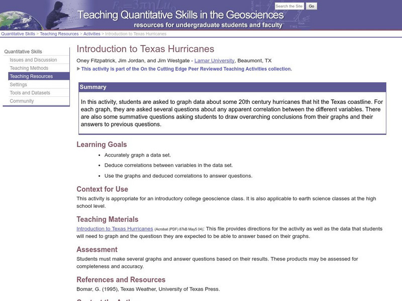
Serc: Introduction to Texas Hurricanes
In this activity, students are asked to graph data about some 20th century hurricanes that hit the Texas coastline. For each graph, they are asked several questions about any apparent correlation between the different variables. Students...
National Earth Science Teachers Association
Windows to the Universe: Feeling the Heat
In this lesson students learn about the urban heat island effect by investigating which areas of their schoolyard have higher temperatures. Then they analyze data about how the number of heat waves in an urban area has increased over...
TeachEngineering
Teach Engineering: Wild Wind
Students will learn the difference between global, prevailing and local winds. In this activity, students will make a wind vane out of paper, a straw and a soda bottle and use it to measure wind direction over time. Finally, they will...
TeachEngineering
Teach Engineering: Mind Bending Gps Occultations
Students learn about the remote sensing radio occultation technique and how engineers use it with GPS satellites to monitor and study the Earth's atmospheric activity. Students may be familiar with some everyday uses of GPS, but not as...
TeachEngineering
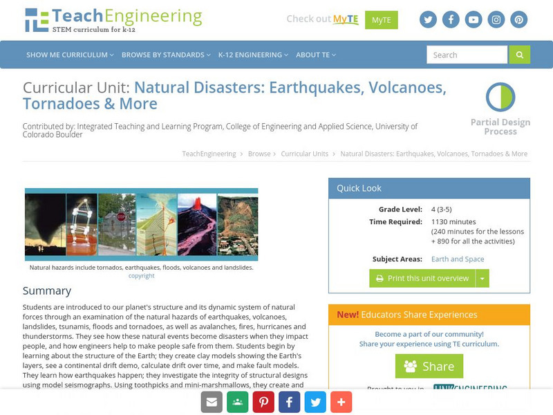
Teach Engineering: Natural Disasters
Students are introduced to our planet's structure and its dynamic system of natural forces through an examination of the natural hazards of earthquakes, volcanoes, landslides, tsunamis, floods and tornados, as well as avalanches, fires,...
NOAA
Noaa: Pmel: El Nino Theme Page
The National Oceanic and Atmospheric Administration (NOAA) sponsors this El Nino and La Nina resource site that features current and historic information about these weather systems with diagrams.
University Corporation for Atmospheric Research
Ucar: Climate Postcards
Students learn about the climate zones of the world by interpreting data and then identifying climate zones described in postcards.
Cornell University
Cornell University: The Regional Climate Centers
Site provides information on the National Climatic Data Center's Regional Climate Centers Program. Click a region on the map of the United States and find information about that region's climate!
Center for Educational Technologies
Exploring the Environment : Severe Weather:hurricanes
Learn about hurricanes by analyzing data and predicting possible new hurricanes. Lots of good background and some extension activities.
Science Education Resource Center at Carleton College
Serc: The Nature of the Land Around Us
An inquiry investigation which allows students to drive their learning by creating questions about the land around them. They collect varied data to analyze the nature of the land, and as a result, investigate erosion and weathering in...
ReadWriteThink
Read Write Think: Using Snowflake Bentley as a Framing Text for Multigenre Writing
Using Snowflake Bentley as a model, learners create a working definition of multigenre text and then use that definition to create their own multigenre piece about winter or another theme.
Institute of Global Environment and Society
Iges: Homepage
This site allows you to access a great deal of information about the link between ocean and climate. Latest El Nino/La Nina predictions and maps are one of many data sets featured.
American Geosciences Institute
American Geosciences Institute: Earth Science Week: Sky and Cloud Windows
In this activity, students will conduct experiments or participate in demonstrations to answer questions about sky and weather phenomena.
Other
The Learning Partnership: Journey to El Yunque
In this set of learning modules, students examine the impact of hurricane weather on the El Yunque rainforest in Puerto Rico. They learn about hurricanes, producers, consumers, and the food chain, and how disruptions in organisms'...
NOAA
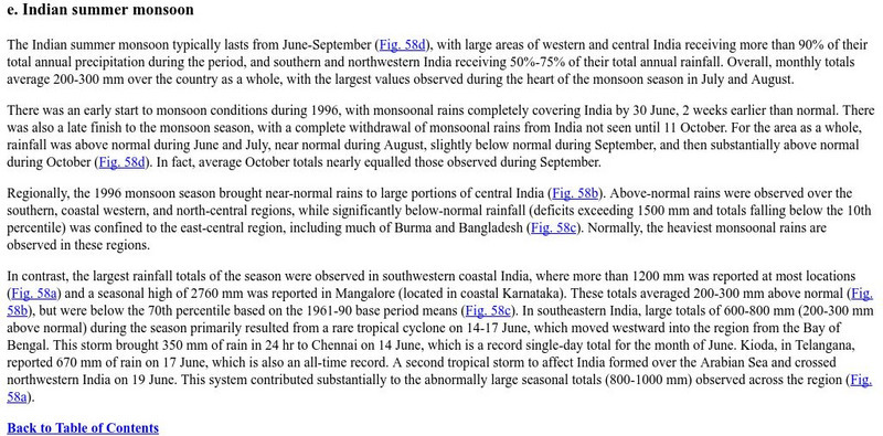
Noaa: Ncep: Indian Summer Monsoon
An overview of weather conditions and patterns during the 1996 Indian monsoon. Click on the highlighted "figures" to see maps and graphical data about the precipitation in the region during this time.


