Other
Hong Kong Space Museum
Besides an introduction to exhibitions and events at the museum, the site provides a guide to stargazing, an astronomy FAQ, space news, virtual tours (see site map) and research resources (including Chinese-English star and constellation...
Sophia Learning
Sophia: Urban Models in the Real World
By using Google Earth and city road maps, students will compare the layout of their city to one of the three North American urban models and see which one is the best fit.
Science Education Resource Center at Carleton College
Serc: Litter Retriever With a Gps Receiver
Have you ever wondered why litter is in some locations and not others? You will use a Global Positioning System (GPS) to mark the locations of trash and trash cans around a local park or school campus, import the data into Google Earth,...
Other
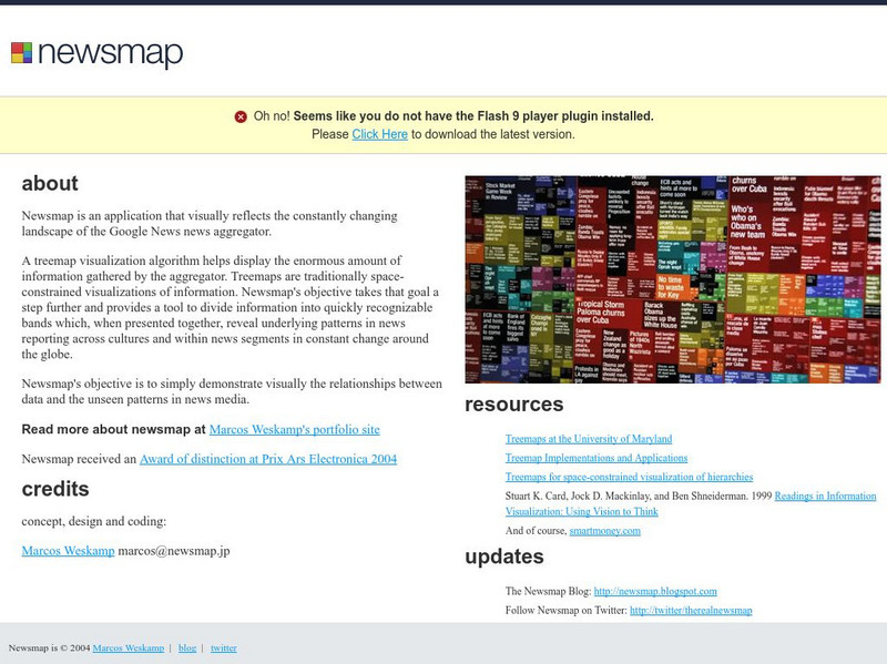
Newsmap
Engaging as well as convenient manner for presentation of news of the day allows students to click on the most important news events. Articles are from newspapers all over the world via the Google News aggregator.
Science Education Resource Center at Carleton College
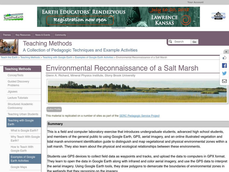
Serc: Environmental Reconnaissance of a Salt Marsh
A field and computer laboratory exercise that introduces students to using Google Earth, GPS, aerial imagery, and an online illustrated vegetation and tidal marsh environment identification guide. Students are challenged to distinguish...
Curated OER
Kazakhstan Political Map
Check out this great satellite image of Kazakhstan from Google Earth. Scroll past the informative political map to see the image. There is more information about the country below the satellite map.
Curated OER
Geology.com: Kazakhstan Map Kazakhstan Satellite Image
Check out this great satellite image of Kazakhstan from Google Earth. Scroll past the informative political map to see the image. There is more information about the country below the satellite map.
Curated OER
Kyrgyzstan Political Map
Check out this great satellite image of Kyrgyzstan from Google Earth. Scroll past the informative political map to see the image. There is more information about the country below the satellite map.
Curated OER
Geology.com: Kyrgyzstan Map Kyrgyzstan Satellite Image
Check out this great satellite image of Kyrgyzstan from Google Earth. Scroll past the informative political map to see the image. There is more information about the country below the satellite map.
Curated OER
China Political Map
Check out this great satellite image of China from Google Earth. Scroll past the informative political map to see the image. There is more information about the country below the satellite map.
Curated OER
Geology.com: China Map China Satellite Image
Check out this great satellite image of China from Google Earth. Scroll past the informative political map to see the image. There is more information about the country below the satellite map.
Curated OER
Kuwait Political Map
Check out this great satellite image of Kuwait from Google Earth. Scroll past the informative political map to see the image. There is more information about the country below the satellite map.
Curated OER
Geology.com: Kuwait Map Kuwait Satellite Image
Check out this great satellite image of Kuwait from Google Earth. Scroll past the informative political map to see the image. There is more information about the country below the satellite map.
Curated OER
Albania Political Map
Check out this great satellite image of Albania from Google Earth. Scroll past the informative political map to see the image. There is more information about the country below the satellite map.
Curated OER
Geology.com: Albania Map: Albania Satellite Image
Check out this great satellite image of Albania from Google Earth. Scroll past the informative political map to see the image. There is more information about the country below the satellite map.
Curated OER
Angola Political Map
Check out this great satellite image of Angola from Google Earth. Scroll past the informative political map to see the image. There is more information about the country below the satellite map.
Curated OER
Geology.com: Angola Map Angola Satellite Image
Check out this great satellite image of Angola from Google Earth. Scroll past the informative political map to see the image. There is more information about the country below the satellite map.
Curated OER
Botswana Political Map
Check out this great satellite image of Botswana from Google Earth. Scroll past the informative political map to see the image. There is more information about the country below the satellite map.
Curated OER
Lesotho Political Map
Check out this great satellite image of Lesotho from Google Earth. Scroll past the informative political map to see the image. There is more information about the country below the satellite map.
Curated OER
Geology.com: Lesostho Map Lesotho Satellite Image
Check out this great satellite image of Lesotho from Google Earth. Scroll past the informative political map to see the image. There is more information about the country below the satellite map.
Curated OER
Malawi Political Map
Check out this great satellite image of Malawi from Google Earth. Scroll past the informative political map to see the image. There is more information about the country below the satellite map.
Curated OER
Geology.com: Malawi Map Malawi Satellite Image
Check out this great satellite image of Malawi from Google Earth. Scroll past the informative political map to see the image. There is more information about the country below the satellite map.
Curated OER
Namibia Political Map
Check out this great satellite image of Namibia from Google Earth. Scroll past the informative political map to see the image. There is more information about the country below the satellite map.
Curated OER
Geology.com: Namibia Map Namibia Satellite Image
Check out this great satellite image of Namibia from Google Earth. Scroll past the informative political map to see the image. There is more information about the country below the satellite map.
Other popular searches
- Scale Factor Google Maps
- Geography Google Maps
- Venn Diagram Google Maps
- Google Maps Science
- Google Maps 13 Colonies


