Curated OER
Let's Travel!
Students review the rules and expectations, they earn points each day by making the correct behavioral choices. They read maps and do Internet reserach, students become aware of United States and or world geography. Students check...
Curated OER
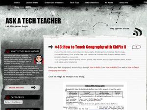
How to Teach Geography with KidPix II
Students use the computer program KidPix II to color a map of the world. In this world map lesson plan, students fill in different colors for different continents that are told to them on the program KidPix II.
Curated OER
Using Repeat Photography to Map Environmental Hazards
Students investigate the changes of their environment by experimenting with photography. In this environmental observation lesson, students compare historic photographs of areas with pictures they have just taken. Students...
Mr. Roughton
Chinese Dynasties
From the Q'in to the Ming, get the facts on the great Chinese dynasties from early history with these great handouts and worksheets. Presented in a Word document, they include the years the dynasties were in existence, the dynasty...
Curated OER
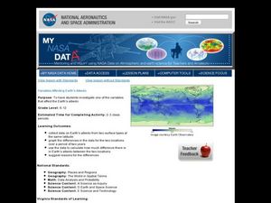
Variables Affecting Earth's Albedo
Young scholars study the variables that affect the Earth's albedo. In this environmental data analysis lesson plan students interpret and graph information and calculate changes.
Curated OER
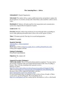
The Amazing Race -- Africa
High schoolers conduct research and gather information regarding various cities in Africa. They discover what it would take to travel to and through Africa and plan a trip through various regions of the continent. They present their...
Curated OER
Pam Wu's Teaching Portfolio
Learners explore the Chinese New Year through Scholastic News magazine. In this cultural awareness lesson, students use a thinking map to develop their critical thinking skills pertaining to the Chinese New Year. Learners compose...
Curated OER
Wolves: Friend or Foe?
Students study wolves and their habitat in Yellowstone. In this environment and behavior lesson students create an interactive map of wolves in Yellowstone.
Curated OER
Mapping the National Parks
Students research national parks. In this science activity, students view a video about the national parks and discuss the environments found within the national parks.
Carolina K-12
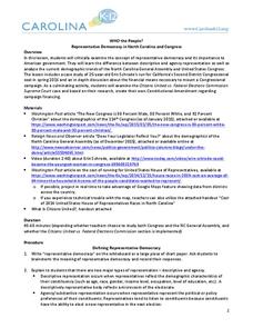
Who the People? Representative Democracy in North Carolina and Congress
Our elected officials are supposed to represent us, but what does it mean when they aren't like us? Budding citizens explore the demographic makeup of the US Congress, the role of money in political elections, and the Citizens United...
Curated OER
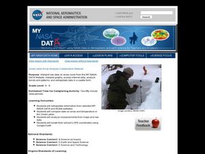
Great Lakes Snow Analysis Collaborative Network
Middle schoolers interpret data on snow cover and analyze trend patterns. In this snow lesson students compare data and locate their school's GPS coordinates.
Midnight Martian
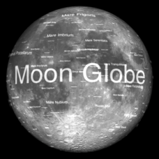
Moon Globe
Not just a simple globe of the moon, this interactive version allows you to choose lighting according to the location of the sun, views from different positions on Earth, and more! Satellite images and topographic data have been combined...
Curated OER
Convergence with The Cay: Exploring Geographic Concepts Wrapped in a Story
Here's an awesome unit that uses The Cay as the anchor text. The 16-page packet is loaded with teaching ideas, activities, and suggested adjustments.
Curated OER
Migration of the Neo-Tropical Songbirds
Fifth graders plot the migration of birds using Google Earth. In this instructional activity on bird migration, 5th graders work in groups to plot the migration of a group of birds using Google Earth. Students present and discuss their...
Curated OER
Estuary and Watershed
Students investigate the San Francisco Bay Estuarine Research Reserve and watershed. In this estuary and watershed lesson plan, students complete 4 activities to better understand estuarine systems. They include studying the San...
Curated OER
Biodiversity in an Estuary
Students investigate the biodiversity in estuaries. In this estuary lesson plan, students use Google Earth to explore the Rookery Bay National Estuarine Research Reserve. They produce a biodiversity concept map and portray the life of a...
Curated OER
NUMB3RS Activity: Riding the Waves
High schoolers use the TI-Navigator system to explore vector fields and make predictions. They also identify what a vector field is and that it represents the movement of water. Pupils try to determine where a bottle floating might have...
Curated OER
International Curiosity and National Pride
Students investigate the national, local, and ethnic traits of the Bulgarian culture. They discuss patriotic American songs, analyze a map, play a '20 Questions' game about Bulgaria, read a letter, and identify American culture...
Curated OER
Family Stories
Students use dance to better understand the writing process. In this interdisciplinary lesson, students use their critical thinking skills to connect dance with writing. Students use thinking maps to follow the writing process, write a...
Chicago Botanic Garden
Recent Weather Patterns
Decide whether weather is changing! A two-part activity first challenges classes to review the differences between weather and climate. Once finished, individuals then analyze historical data to determine if climate change is happening...
EngageNY
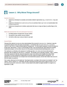
Why Move Things Around?
Explore rigid motion transformations using transparency paper. Learners examine a series of figures and describe the transformations used to create the series. They then use transparency paper to verify their conclusions.
Mathematics Vision Project
Circles: A Geometric Perspective
Circles are the foundation of many geometric concepts and extensions - a point that is thoroughly driven home in this extensive unit. Fundamental properties of circles are investigated (including sector area, angle measure, and...
American Museum of Natural History
Create Your Own Time Capsule
The corona virus pandemic is indeed a historic event. A time capsule activity permits young historians to document these days of social distancing, remote learning, and quarantine by collecting artifacts that capture what their lives are...
Curated OER
Born, Bread and Buttered in London
Students map points of interest and listen to an interview to become familiar with London. In this London lesson, students pair share what they pictured from the interview. Students discuss specific vocabulary and points...
Other popular searches
- Scale Factor Google Maps
- Geography Google Maps
- Venn Diagram Google Maps
- Google Maps Science
- Google Maps 13 Colonies


