Science Education Resource Center at Carleton College
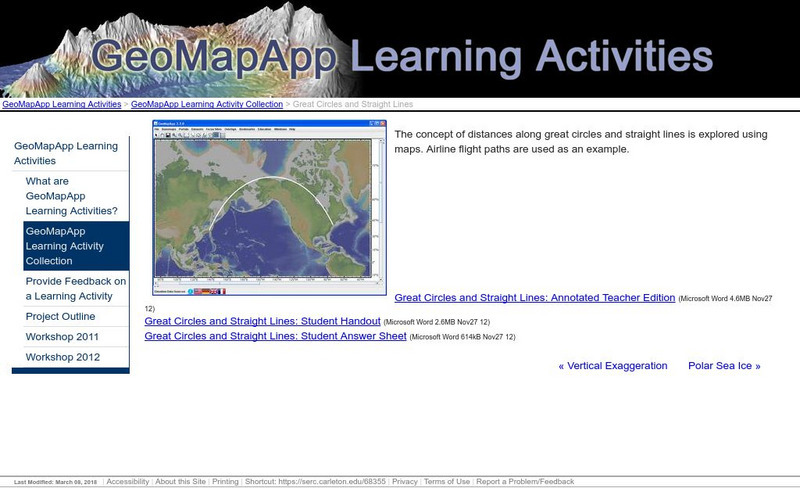
Serc: Great Circles and Straight Lines
Using maps, students explore the concept of distances along great circles and straight lines. Airline flight paths are used as an example.
ClassFlow
Class Flow: Global Knowledge Where in the World Am I?
[Free Registration/Login Required] This flipchart explains the division of the hemispheres, northern and southern, and eastern and western. The Equator and Prime Meridian are defined, as well as latitude and longitude. Students are given...
PBS
Pbs Teachers: Titanic's Lost Sister: Camera Overboard!
Learn about different diving equipment in order to determine which would be most useful in recovering a sunken object and exploring underwater. Find a location on a globe or map using latitude and longitude coordinates.
ClassFlow
Class Flow: Major Topographical Features of the u.s.
[Free Registration/Login Required] In this flipchart students will locate major topographical features of the United States of America. Website links covering Identify rivers, mountain ranges, the equator, prime meridian, and lines of...
Quia
Quia: Latitude and Longitude Quiz
This one question matching quiz will help you learn the correct order of US Federal Indian policies. The quiz has a 15 minute time limit.
NASA
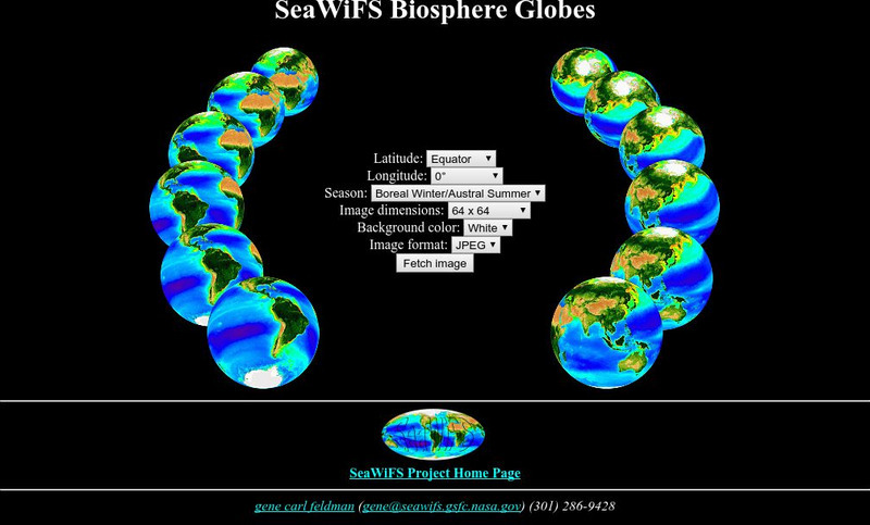
Nasa: Sea Wi Fs Biosphere Globes
This interactive globe allows you to get any view of the earth by entering latitude, longitude and season criteria.
NOAA
Noaa: Follow That Hurricane [Pdf]
Utilize data from historical hurricanes and a map of areas around the Atlantic Ocean to plot the paths of these potentially devastating storms.
Other
World Climate
Find out what the climate is like in thousands of places all over the world. You'll not only get the climate, but the latitude and longitude as well!
TeachEngineering
Teach Engineering: Gps Scavenger Hunt
Students go on a GPS scavenger hunt. They use GPS receivers to find designated waypoints and report back on what they found. They compute distances between waypoints based on the latitude and longitude, and compare with the distance the...
CK-12 Foundation
Ck 12: Earth Science: Direction on the Earth
[Free Registration/Login may be required to access all resource tools.] Using latitude and longitude to find a location.
CK-12 Foundation
Ck 12: Earth Science: Elevation on the Earth
[Free Registration/Login may be required to access all resource tools.] Using latitude and longitude to find a location.
NOAA
Noaa: Solar Calculators
This resource allows users to find sunset/sunrise calculations based on latitude and longitude for various locations. Provides a glossary of related terms and an explanation of their calculations.
Science Education Resource Center at Carleton College
Serc: Plotting Earthquakes With Near Real Time Data
This lesson teaches the concept of plate tectonics. Students will access the United States Geological Survey National Earthquake Information Center and plot the longitude latitude and depth of earthquakes on a physiographic chart.
Johns Hopkins University
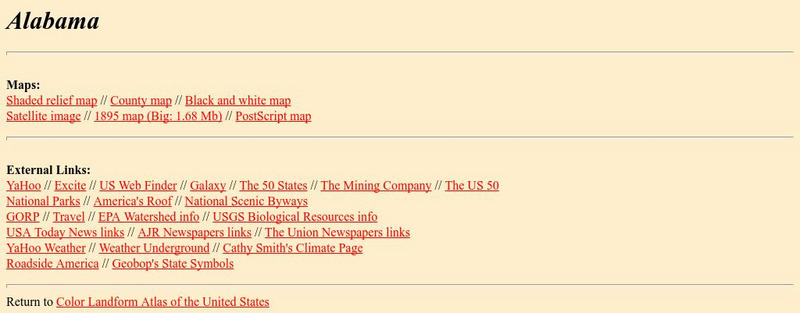
Johns Hopkins University: Alabama State Maps
Check out this site from the Johns Hopkins University Applied Physics Laboratory for several different types of maps for the state of Alabama. You can find everything from a county map to a shaded relief map. If you are looking for map...
Johns Hopkins University
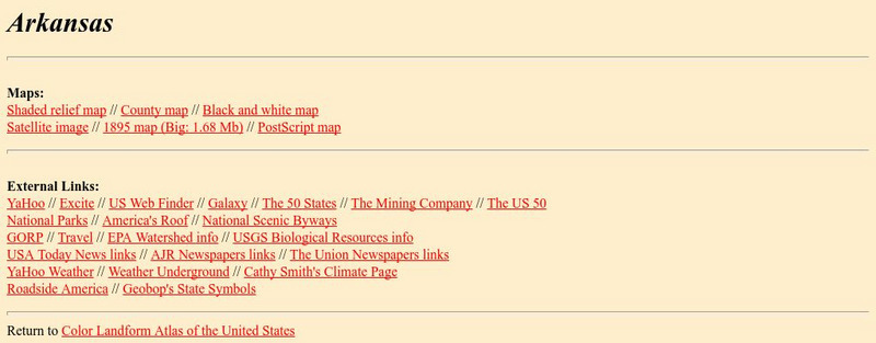
Johns Hopkins University: Arkansas State Maps
Learn more about the Arkansas' geography through the maps at this website from the Johns Hopkins University Applied Physics Laboratory. These maps give in depth information on the landforms found in Arkansas.
Johns Hopkins University
Johns Hopkins University: Arkansas State Maps
Learn more about the Arkansas' geography through the maps at this website from the Johns Hopkins University Applied Physics Laboratory. These maps give in depth information on the landforms found in Arkansas.
Texas Instruments
Texas Instruments: Numb3 Rs: Traveling on Good Circles
Based off of the hit television show NUMB3RS, this high-level math lesson has students delve into the topic of Great Circles on a sphere (specifically, the Earth), in order to find the shortest distances between locations. Students will...
NSTATE
The Geography of Texas
Here you will find a variety of facts about the geography of the state of Texas. Find out the geographic center, total area, climate and much more.
NSTATE
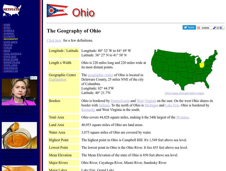
Net State: The Geography of Ohio
Here at NetState you will find a variety of facts about the geography of the state of Ohio. Find out the geographic center, total area, elevations and much more.
NSTATE
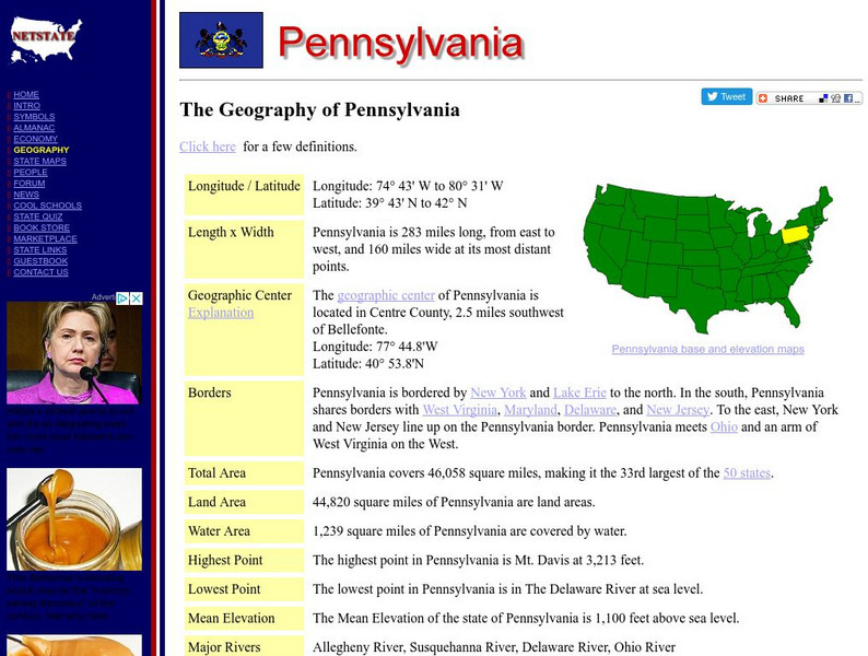
The Geography of Pennsylvania
Here you will find a variety of cool facts about the geography of the state of Pennsylvania. Find out the geographic center, total area, elevations and much more.
NSTATE
The Geography of California
Here you will find a variety of facts about the geography of the state of California. Find out the geographic center, total area, elevations and much more.
NSTATE
The Geography of Florida
Here you will find a variety of cool facts about the geography of the state of Florida. Find out the geographic center, total area, elevations and much more.
NSTATE
The Geography of Alabama
Get the facts about the geography of the state of Alabama from its geographic center to its total area, to elevations and much more.
NSTATE
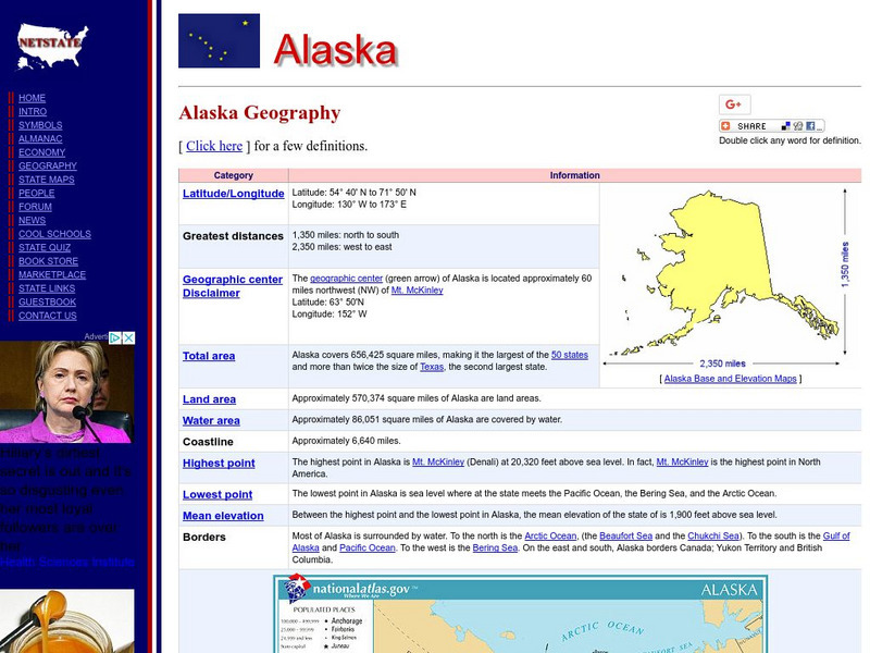
The Geography of Alaska
Netstate provides facts about the geography of the state of Alaska such as its geographic center, total area, elevations and much more.
Other popular searches
- Longitude and Latitude
- Longitude Latitude
- Latitude and Longitude Games
- Latitude and Longitude Maps
- Longitude & Latitude
- Longitude and Latitude Game
- Longitude and Latitude Math
- Geography Latitude Longitude
- Whaling Latitude Longitude
- Longitude Latitude Minutes
- Longitude and Latitude Lines
- Volcano Latitude Longitude




![Noaa: Follow That Hurricane [Pdf] Activity Noaa: Follow That Hurricane [Pdf] Activity](https://d15y2dacu3jp90.cloudfront.net/images/attachment_defaults/resource/large/FPO-knovation.png)


