University of Arizona
Pulse: From Global to City Air: Air Quality, City Design and Disease
Students are challenged to design a healthy city in this unit plan. The cross-curricular unit covers content standards for ninth grade in science, language arts, world geography, and math. Students explore air quality and the impact it...
US Navy
Navigation
[Archived Content] Interactive site where students can learn about navigation techniques through various learning activities.
Center for Innovation in Engineering and Science Education, Stevens Institute of Technology
Ciese Collaborative Projects: International Boiling Point Project
An Internet project designed to determine the greatest influence on the boiling point. After reading the project instructions and performing the experiment, submit your data and compare your results to other classes from around the world.
Texas Instruments
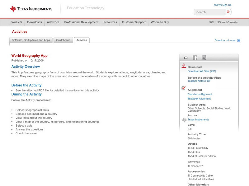
Texas Instruments: World Geography App
This classroom activity features geography facts of countries around the world. Students explore latitude, longitude, area, climate, and more. They examine maps of the area, and discover the location of a country with respect to other...
Other
World Climate
Find out what the climate is like in thousands of places all over the world. You'll not only get the climate, but the latitude and longitude as well!
TeachEngineering
Teach Engineering: Gps Scavenger Hunt
Students go on a GPS scavenger hunt. They use GPS receivers to find designated waypoints and report back on what they found. They compute distances between waypoints based on the latitude and longitude, and compare with the distance the...
CK-12 Foundation
Ck 12: Earth Science: Direction on the Earth
[Free Registration/Login may be required to access all resource tools.] Using latitude and longitude to find a location.
CK-12 Foundation
Ck 12: Earth Science: Elevation on the Earth
[Free Registration/Login may be required to access all resource tools.] Using latitude and longitude to find a location.
NOAA
Noaa: Solar Calculators
This resource allows users to find sunset/sunrise calculations based on latitude and longitude for various locations. Provides a glossary of related terms and an explanation of their calculations.
ibiblio
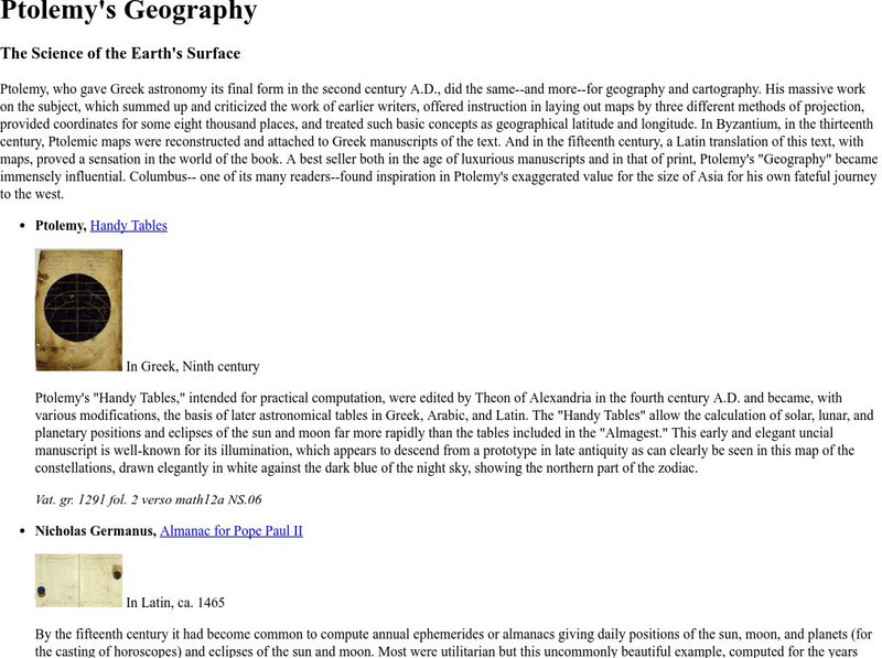
Ibiblio: Ptolemy's Geography
Brief discussion about Ptolemy's geography. Includes pictures of publications from ancient Greece based on Ptolemy's beliefs.
Johns Hopkins University
Johns Hopkins University: Alabama State Maps
Check out this site from the Johns Hopkins University Applied Physics Laboratory for several different types of maps for the state of Alabama. You can find everything from a county map to a shaded relief map. If you are looking for map...
Johns Hopkins University
Johns Hopkins University: Arkansas State Maps
Learn more about the Arkansas' geography through the maps at this website from the Johns Hopkins University Applied Physics Laboratory. These maps give in depth information on the landforms found in Arkansas.
Johns Hopkins University
Johns Hopkins University: Arkansas State Maps
Learn more about the Arkansas' geography through the maps at this website from the Johns Hopkins University Applied Physics Laboratory. These maps give in depth information on the landforms found in Arkansas.
Science Education Resource Center at Carleton College
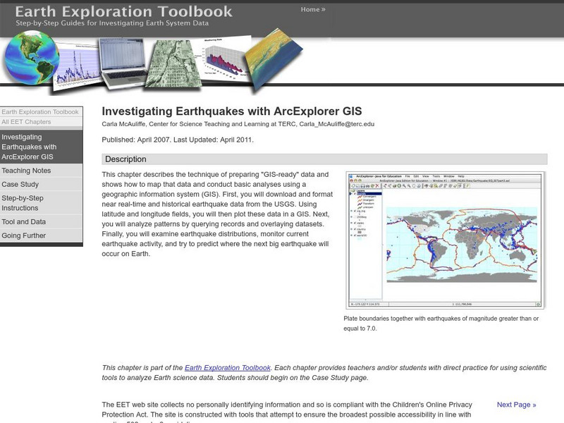
Serc: Investigating Earthquakes With Arc Explorer Gis
This activity allows students to predict future earthquake activity by interpreting the results of geographic information system (GIS) analysis.
Latimer Clarke Corporation
Altapedia Online: World Map Resources
Features downloadable World Political and Physical Maps that include country names, country borders, ocean features, island names, and lat/long graticules. Clicking on any part of the map enlarges it.
US Geological Survey
U.s. Geological Survey: Teaching About and Using Coordinate Systems [Pdf]
Provides lessons and activities for teaching about the different types of coordinate systems including the Cartesian coordinate system, the Geographic Coordinate System, the Universal Transverse Mercator grid, and the State Plane...
Texas Instruments
Texas Instruments: Numb3 Rs: Traveling on Good Circles
Based off of the hit television show NUMB3RS, this high-level math lesson has students delve into the topic of Great Circles on a sphere (specifically, the Earth), in order to find the shortest distances between locations. Students will...
Enchanted Learning
Enchanted Learning: Types of Maps
Enchanted Learning provides an easy-to-understand explanation of projections. Site also provides a graph of related terms such as conic projection, cylindrical projection, Mercator projection, and more.
TeachEngineering
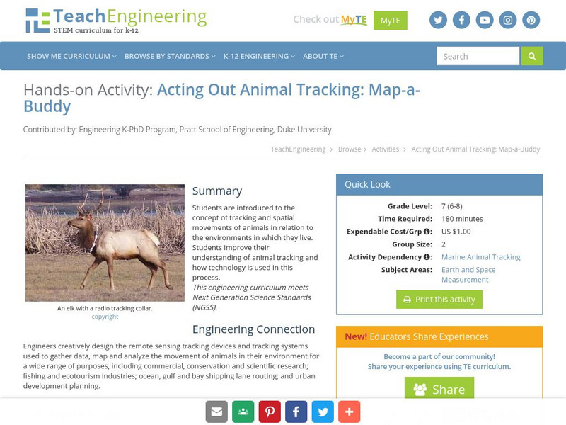
Teach Engineering: Map a Buddy
This activity serves to introduce the concept of tracking and spatial movements of animals in relation to the environment in which they live. The following activity will aid student understanding of animal tracking and how technology...
Read Works
Read Works: Learn About Maps
[Free Registration/Login Required] Intended to support early elementary students' reading comprehension, the basic terminology associated with map are explained in this informational text. A question sheet is available to help students...
NSTATE
The Geography of Texas
Here you will find a variety of facts about the geography of the state of Texas. Find out the geographic center, total area, climate and much more.
NSTATE
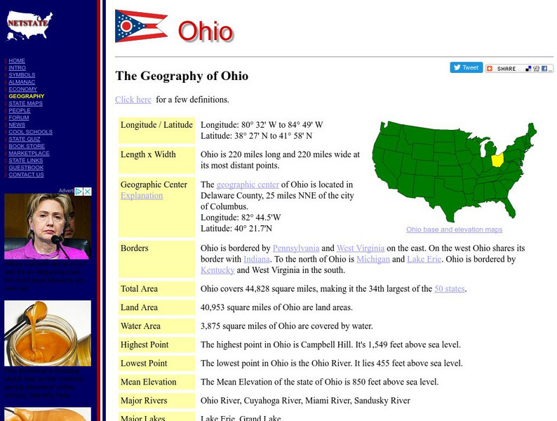
Net State: The Geography of Ohio
Here at NetState you will find a variety of facts about the geography of the state of Ohio. Find out the geographic center, total area, elevations and much more.
NSTATE
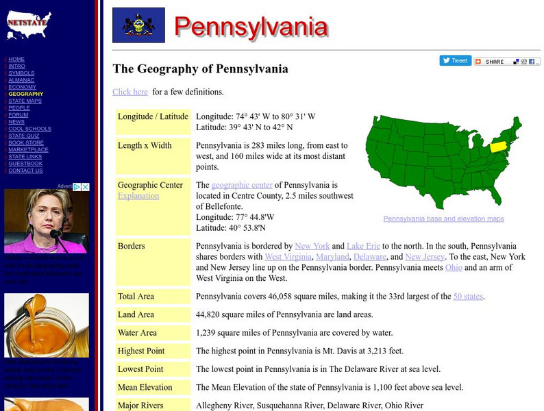
The Geography of Pennsylvania
Here you will find a variety of cool facts about the geography of the state of Pennsylvania. Find out the geographic center, total area, elevations and much more.
NSTATE
The Geography of California
Here you will find a variety of facts about the geography of the state of California. Find out the geographic center, total area, elevations and much more.
Other popular searches
- Latitude and Longitude
- Latitude Longitude
- Latitude and Longitude Games
- Latitude & Longitude
- Latitude and Longitude Maps
- Longitude and Latitude Game
- Longitude and Latitude Math
- Geography Latitude Longitude
- Whaling Latitude Longitude
- Longitude Latitude Minutes
- Longitude and Latitude Lines
- Volcano Latitude Longitude


