Texas Instruments
Texas Instruments: World Geography App
This classroom activity features geography facts of countries around the world. Students explore latitude, longitude, area, climate, and more. They examine maps of the area, and discover the location of a country with respect to other...
Johns Hopkins University
Johns Hopkins University: Alabama State Maps
Check out this site from the Johns Hopkins University Applied Physics Laboratory for several different types of maps for the state of Alabama. You can find everything from a county map to a shaded relief map. If you are looking for map...
Johns Hopkins University
Johns Hopkins University: Arkansas State Maps
Learn more about the Arkansas' geography through the maps at this website from the Johns Hopkins University Applied Physics Laboratory. These maps give in depth information on the landforms found in Arkansas.
Johns Hopkins University
Johns Hopkins University: Arkansas State Maps
Learn more about the Arkansas' geography through the maps at this website from the Johns Hopkins University Applied Physics Laboratory. These maps give in depth information on the landforms found in Arkansas.
US Geological Survey
U.s. Geological Survey: Teaching About and Using Coordinate Systems [Pdf]
Provides lessons and activities for teaching about the different types of coordinate systems including the Cartesian coordinate system, the Geographic Coordinate System, the Universal Transverse Mercator grid, and the State Plane...
Houghton Mifflin Harcourt
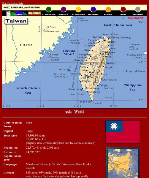
Holt, Rinehart and Winston: World Atlas: Taiwan
Grab quick facts about Taiwan (capital, total area, population, languages, literacy, religions, government, currency, industry, and more) while looking at a map, complete with cities, elevations, bodies of water, longitude, and latitude....
TeachEngineering
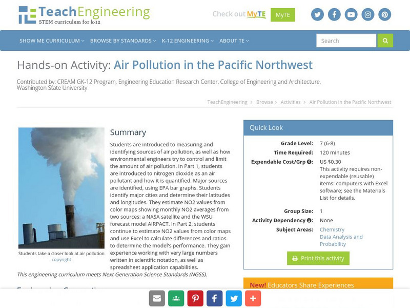
Teach Engineering: Air Pollution in the Pacific Northwest
Students are introduced to measuring and identifying sources of air pollution, as well as how environmental engineers try to control and limit the amount of air pollution. In Part 1, students are introduced to nitrogen dioxide as an air...
NSTATE
Net State: The Geography of North Carolina
Here at NetState you will find a variety of facts about the geography of the state of North Carolina. Find out the geographic center, total area, elevations and much more.
NSTATE
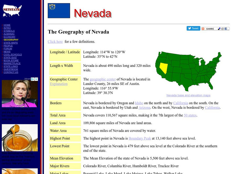
Net state.com: The Geography of Nevada
Here you will find a variety of facts about the geography of the state of Nevada. Find out the geographic center, total area, elevations and much more.
NSTATE
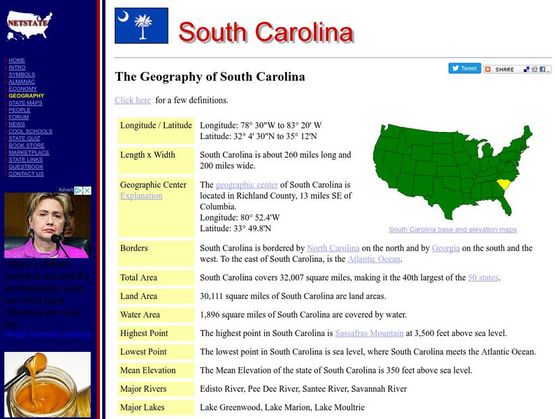
The Geography of South Carolina
Here you will find a variety of cool facts about the geography of the state of South Carolina. Find out the geographic center, total area, elevations and much more.
NSTATE
Netstate.com: The Geography of Arkansas
Quick facts about the geography of Arkansas including land area, highest and lowest points, elevations, lakes, rivers, regions, and climate.
Other popular searches
- Latitude and Longitude Maps
- Maps, Longitude and Latitude
- Longitude & Latitude Maps
- Longitude Latitude Maps
- Maps, Longitude Latitude



![U.s. Geological Survey: Teaching About and Using Coordinate Systems [Pdf] Lesson Plan U.s. Geological Survey: Teaching About and Using Coordinate Systems [Pdf] Lesson Plan](https://d15y2dacu3jp90.cloudfront.net/images/attachment_defaults/resource/large/FPO-knovation.png)
