Curated OER
Educational Technology Clearinghouse: Maps Etc: Relief Map of Europe, 1890
"The relief-forms of Europe are vastly more complicated than those of either the Americas, Africa, or Australia.
Curated OER
Educational Technology Clearinghouse: Maps Etc: Europe, 1904
"Europe - Greece has the honor of being in the van of European civilization and power, but in the seventh century before Christ a rival sprang up in Italy, which in the course of time attained such vigor that Greece at last was humbled...
Lizard Point Quizzes
Lizard Point: Europe: Countries Quiz
Try this interactive geography quiz which tests your knowledge about the countries of Europe.
Lizard Point Quizzes
Lizard Point: Europe: Capitals Quiz
Test your geography knowledge by taking this interactive quiz over the capital cities of Europe.
Other
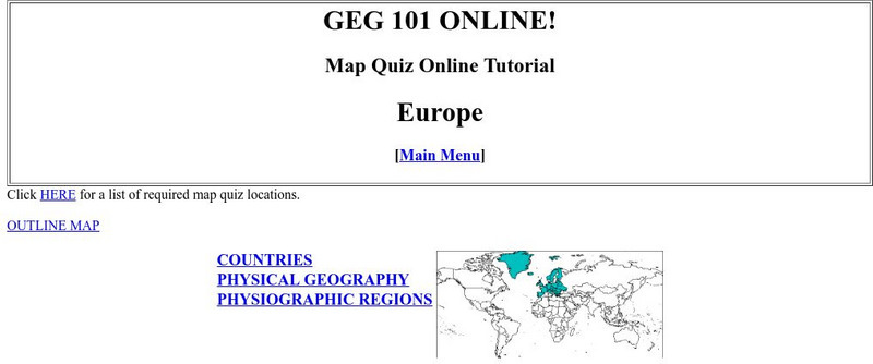
Harper College: Map Quiz Tutorial
A great way to learn about and then test yourself on Europe's geography. Includes three map tutorials. Good tool for visual learners!
Tom Richey
Tom Richey: Power Point: Medieval Europe: Franks, Feudalism, and Chivalry
Tom Richey offers a 54 slide presentation with maps on Medieval Europe and informs us about the Franks, Feudalism and Chivalry in the Middle Ages.
Other
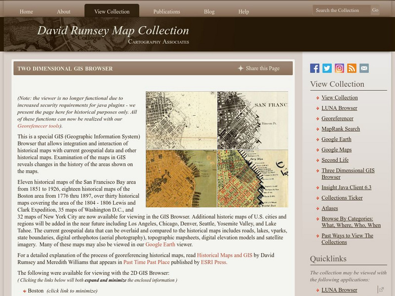
David Rumsey Historical Map Collection
The collection of more than 150,000 maps focuses on rare 18th and 19th-century maps of North and South America, although it also has maps of the World, Asia, Africa, Europe, and Oceania. The collection includes atlases, wall maps,...
Other
Ordnance Survey: Map Zone
All kinds of fun and interesting ways to learn about maps and acquire mapping skills.
Other
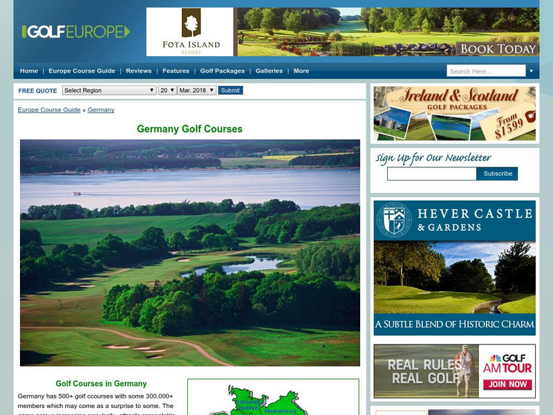
Golf Europe: Golf Clubs in Germany/other
"Germany has 500+ golf clubs with some 300,000+ members which may come as a surprise to some. The game enjoys increasing popularity, attracts respectable sponsorship money and boastsone of the the finest European golfers ever, in the...
Curated OER
Educational Technology Clearinghouse: Maps Etc: Physical Europe, 1916
A physical map of Europe from 1916 showing color-coded elevations and water depths for the area extending from Iceland to the Ural Mountains in Russia Proper, and the Arctic Circle to the Mediterranean Sea. Land elevation colors range...
Curated OER
Etc: Europe During the Crusades, 1095 1270
A Map of Europe during the Crusades period showing the various lands and kingdoms including the German Empire, France, Kingdoms of Norway and Sweden, Republic of Novgorod, Kaptchak, Prussia, Saxony, Kingdom of Austria, Lombardia, the...
Curated OER
Educational Technology Clearinghouse: Maps Etc: Modern Europe, 1910
A map of Europe, as it was in 1910, showing country borders, major rivers, cities, and historic battle sites.
Curated OER
Educational Technology Clearinghouse: Maps Etc: Animals of Europe, 1906
A pictorial map of Europe showing typical animals found in the various regions.
Curated OER
Educational Technology Clearinghouse: Maps Etc: Napoleonic Europe, 1799 1815
A map of Europe during the time of Napoleon I, showing kingdoms and grand duchies, territorial and sea borders, major rivers, major cities, and capitals.
Curated OER
Educational Technology Clearinghouse: Maps Etc: Land Elevations of Europe, 1906
A physical map of Europe showing land elevations from below sea level, lowlands, elevations over 1,000 feet, and elevations over 4,000 feet. Plains, highlands, major rivers, and political divisions are shown.
Curated OER
Etc: Europe at the Time of the Reformation, 1517 1648
Map of Europe at the time of The Protestant Reformation movement from Martin Luther in 1517 to the Peace of Westphalia in 1648. Shows major cities of the time, major river ways, topography, political boundaries. This map illustrates the...
Curated OER
Etc: Maps Etc: Physical and Cultural Geography of Europe, 1915
Six maps of Europe showing the average rainfall, the major climate zones, agricultural products (rye, corn, wheat, rice, and sugar beets), industrial products (iron, textile, and coal), ethnic groups, and religions.
Curated OER
Etc: Europe During Napoleon's Campaigns, 1796 1815
A map of Europe at the time of Napoleon and his campaigns (1796-1815), showing the political boundaries at the time, and the routes of The First Italian Campaign with the battle sites of Lodi and Arcole, and the Treaty of Campo Formio...
Curated OER
Etc: Europe Illustrating the Wars of French Rev and Napoleon's Wars, 1715 1830
This is a map of Europe illustrating the Wars of the French Revolution and Napoleon's Wars, 1715 to 1830.
Curated OER
Etc: Europe Thirty Years War and the Wars of the Spanish Succession, 1618 1714
This is a map of Europe including the Thirty Years War and the Wars of the Spanish Succession, 1600-1714. Shows major cities of the time, major river ways, topography, political boundaries. Scale in English miles. There is an insert of...
Curated OER
Etc: Map Illustrating Campaigns of Napoleon, 1793 1815
A map of Europe showing major cities and sites (with dates) of conquest.
Other
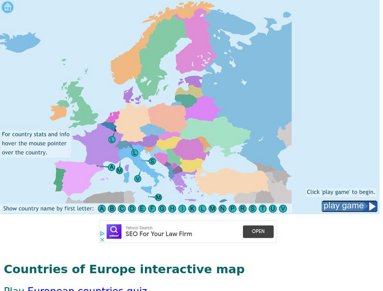
Seterra: Europe: Countries Map Quiz Game
Test your geographical knowledge of Europe and see if you can place all the countries of Europe in their correct spot!
Digital Dialects
Digital Dialects: Geography Games: Countries of Europe
Study a map showing the countries in Europe, and then try to match their names to their locations on a blank map.
That Quiz
Geografia Europa: That Quiz: Europe
Interactive practice to learn the countries of Europe. It keeps track of right and wrong answers and the time in which it takes to identify the maps.
Other popular searches
- Blank Maps of Europe
- Outline Maps of Europe
- Geography Maps of Europe
- Maps of Europe 1914
- Maps of Europe Political
- Maps of Europe Ppt
- Maps of Europe Pot
- Maps of Europe 1919
- Europe Maps
- Europe Outline Maps
- Europe Geography Maps
- Western Europe Maps


