Association of American Geographers
Project GeoSTART
Investigate the fascinating, yet terrifying phenomenon of hurricanes from the safety of your classroom using this earth science unit. Focusing on developing young scientists' spacial thinking skills, these lessons engage...
Mathematics Vision Project
Module 7: Connecting Algebra and Geometry
The coordinate plane links key geometry and algebra concepts in this approachable but rigorous unit. The class starts by developing the distance formula from the Pythagorean Theorem, then moves to applications of slope. Activities...
Curated OER
Dr. King's Dream
Students explore life and work of Martin Luther King, Jr., reflect on section of King's "I Have a Dream" speech, discuss inequities that still exist in the United States, and create picture books about their own dreams of freedom for...
Curated OER
Enough To Make Your Head Spin
Students examine body language in the United States and Bulgaria. They also discover other forms of communication. They also examine a map of Bulgaria.
Curated OER
Family and Household Structure
Students examine what the word "family" means today. They identify cultural traditions that are still popular in the United States. They read primary source documents and discover how advice is passed on from generation to generation.
Scholastic
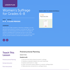
Women's Suffrage for Grades 6–8
Learners study the decisions and solutions involved in winning the right to vote. After reading background information on the fight for women's suffrage, including one woman's story, and its eventual success in the United States and...
Curated OER
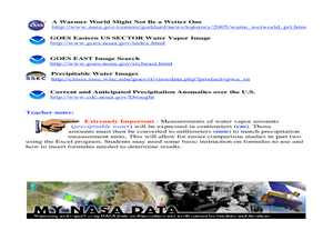
A Comparison Study of Water Vapor Data to Precipitation over North America
Students use NASA satellite data to compare water vapor over the United States. In this data analysis lesson students use an Excel spreadsheet to map their data.
Curated OER
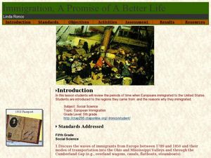
Immigration - A Promise of Better Life
What a great way to discuss European immigration in the 1700's to 1800's in America. Learners identify regions where immigration occurred, list the reasons people moved to the United States, and interview an immigrant about their...
Curated OER
Special Traits: Alabama quarter reverse
Who knew a state quarter could say so much? Alabama's quarter is embossed with an image of Helen Keller, pupils will use this image to think about what the phrase "Spirit of courage" means. They will use a graphic organizer to...
Curated OER
Amazing metals: Nevada quarter reverse
Nevada's nickname is "The Silver State" and metal is what this lesson is all about. Pupils will make a T-chart to discuss the differences between metals and minerals, then write and explain the properties of metal. They will get into...
Curated OER
Push or Pull?
Utilizing the Nebraska State Quarter, pupils learn about the pioneers who had wagons that were pulled across Nebraska by oxen during the westward movement. Excellent worksheets are embedded in the plan that guide them through this fine...
Curated OER
Quarters from the Coast
Students discuss Fifty State Quarters Program, compare and contrast location of land and water on map of United States, while also becoming aware of physical shape of nation and home state, and explore coastal areas in United States.
Curated OER
Geological Forces and Topography
Students discuss and research the Earth's geological processes. In this geology lesson plan, students study maps of Utah and the United States to learn about geological features. Students then complete the research cards for each area of...
Curated OER
U.S. Geography- The Northeast
Students investigate the geography of the Northeast states. In this map skills lesson, students are shown a map of the Northeast states and identify the state names and borders. Students construct individual maps of the Northeast using...
Curated OER
Follow the Light
Students investigate the role of lighthouses in navigation and practice the use of cardinal directions through reading activities, discussion, locating geographical features, and mapping lighthouses along the east coast of the United...
Curated OER
Natural Features as a Resource
Students identify resources provided by nature for basic human needs. For this natural features lesson, students discuss the various regions of the United States. They explore one region in depth and complete activities that identify...
Curated OER
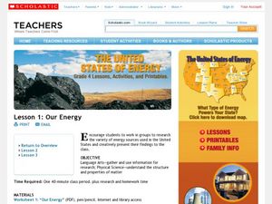
Our Energy
Fifth graders research energy sources used in the United States. In this energy sources instructional activity, 5th graders work in teams to research various energy sources. Students complete a worksheet for the research and make a short...
Curated OER
Using Google Squared to Compare and Contrast Canada and the US
Sixth graders compare and contrast Canada and the United States. For this geography skills lesson, 6th graders use Google Squared to research information so that they may compare the geography of Canada and the United States.
Curated OER
Welcome to New York State
Students choose one region of New York state, and create a travel brochure that includes information such as geographical features, tourist attractions, accesibility, economic features, and historical events that occured in that region.
Curated OER
Using Maps to Uncover a Soldier's Life
Students investigate maps to examine the life of a Confederate soldier based on troop movements as well as letters and diaries.
Curated OER
Edible Resource Maps
Third graders work in groups to create an edible resource map showing locations of at least five resources in the United States. Students research on the internet different regions and the resources that are found in those areas. They...
Curated OER
The Expansion of The United States, 1846-1848
Students interpret historical maps,identify territories acquired by the United States in the 1840s. Also they identify states later formed from these territories. The primary sources for the lesson are the maps found in the lesson's...
Curated OER
Tropical Regions/Mapping Biodiversity
Students use a world map to locate the country of Puerto Rico. In groups, they identify the various types of vegetation found on the island. They compare and contrast the biodiversity of the country to the United States. To end the...
Curated OER
Scrambled States
Students read or are read the story "Scrambled States". Using a map, they identify their states and time zones. They predict their states representation in the book and discuss it after the book is finished. They discvor the differences...
Other popular searches
- United States Maps
- United States Maps Regions
- Northeast United States Maps
- 50 United States Maps
- Create United States Maps
- Western United States Maps
- Custom United States Maps
- Outline Maps United States
- Blank United States Maps
- United States Landforms Maps
- United States Geography Maps
- United States Political Maps


