Curated OER
Dr. King's Dream
Students explore life and work of Martin Luther King, Jr., reflect on section of King's "I Have a Dream" speech, discuss inequities that still exist in the United States, and create picture books about their own dreams of freedom for...
Curated OER
Enough To Make Your Head Spin
Students examine body language in the United States and Bulgaria. They also discover other forms of communication. They also examine a map of Bulgaria.
Curated OER
Family and Household Structure
Students examine what the word "family" means today. They identify cultural traditions that are still popular in the United States. They read primary source documents and discover how advice is passed on from generation to generation.
Scholastic
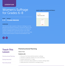
Women's Suffrage for Grades 6–8
Learners study the decisions and solutions involved in winning the right to vote. After reading background information on the fight for women's suffrage, including one woman's story, and its eventual success in the United States and...
Curated OER
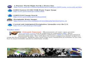
A Comparison Study of Water Vapor Data to Precipitation over North America
Students use NASA satellite data to compare water vapor over the United States. In this data analysis lesson students use an Excel spreadsheet to map their data.
Curated OER
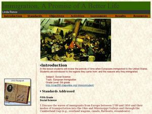
Immigration - A Promise of Better Life
What a great way to discuss European immigration in the 1700's to 1800's in America. Learners identify regions where immigration occurred, list the reasons people moved to the United States, and interview an immigrant about their...
Curated OER
U.S. Geography: The Northeast
Students investigate U.S. Geography by creating a map in class. In this natural resource lesson, students create a map of the United States and research the Northeast based on their resources and recyclable materials. Students...
Curated OER
Treasure Hunt!
Students follow directions on a worksheet to follow directions on a map of the United States and Territories of the United States. In this directions worksheet, students use a compass rose and learn the directions.
Curated OER
The American Land
Students identify the 5 major regions of the United States on a map and then research one of the regions in groups. In this regions lesson plan, students use their textbooks to research.
Curated OER
Our Country's Geography
Third graders study geography. In this United States landforms lesson plan, 3rd graders create a map of the U.S. made out of dough. They use various edible treats to mark the country's capital, the plains, the mountains and the rivers...
Curated OER
Rice Farming History
Second graders map the progress of rice farming by using a map of the United States. In this rice farming lesson plan, 2nd graders draw a line on the map from where rice farming started to the progression of its growth.
Curated OER
Natural Features as a Resource
Students identify resources provided by nature for basic human needs. For this natural features lesson, students discuss the various regions of the United States. They explore one region in depth and complete activities that identify...
Curated OER
Our Energy
Fifth graders research energy sources used in the United States. In this energy sources instructional activity, 5th graders work in teams to research various energy sources. Students complete a worksheet for the research and make a short...
Curated OER
Using Google Squared to Compare and Contrast Canada and the US
Sixth graders compare and contrast Canada and the United States. For this geography skills lesson, 6th graders use Google Squared to research information so that they may compare the geography of Canada and the United States.
Curated OER
Welcome to New York State
Students choose one region of New York state, and create a travel brochure that includes information such as geographical features, tourist attractions, accesibility, economic features, and historical events that occured in that region.
Curated OER
American Symbols
Students explore the symbols of the United States. In this U.S. history lesson, students create an American flag puzzle and research facts on the flag. Students view a Powerpoint presentation on other symbols of America.
Curated OER
Using Maps to Uncover a Soldier's Life
Students investigate maps to examine the life of a Confederate soldier based on troop movements as well as letters and diaries.
Curated OER
Tropical Regions/Mapping Biodiversity
Students use a world map to locate the country of Puerto Rico. In groups, they identify the various types of vegetation found on the island. They compare and contrast the biodiversity of the country to the United States. To end the...
Curated OER
Map Activity: Place Name
In this map worksheet, students locate given words on a map of the United States, then answer a set of 4 related short answer questions.
Curated OER
Train Of States
Fourth graders create a class book with information about each of the United States. After students draw a state name out of a hat, they use various resources to fill in a facts chart about their state. Students draw the state flag and...
Curated OER
U.S. Possessions
Ninth graders research the United States acquisition of the Philippines and their fight for independence. They locate the Philippines on a map and brainstorm how its geography has benefits. They access the Internet and complete a student...
Curated OER
Farming Idaho
Students use a digital atlas to explore areas in the Western United States that depend heavily upon water. They explore the type of soil and the farming that is compatible with the soil. As a class, students explore Idaho's economic...
Curated OER
U.S. Immigration Policy
Students are introduced to the immigration policy of the United States. Using the Internet, they identify major trends in immigration patterns, noting the origins and numbers of immigrants. They analyze the reasons why people came to...
Curated OER
U.S. Geography for Children
In this U.S. map activity worksheet, students observe maps of the continental United States, Hawaii, and Alaska, locate and label landforms and bodies of water, and create symbols for natural resources and places of interest. Students...
Other popular searches
- United States Maps
- United States Maps Regions
- Northeast United States Maps
- 50 United States Maps
- Create United States Maps
- Western United States Maps
- Custom United States Maps
- Outline Maps United States
- Blank United States Maps
- United States Landforms Maps
- United States Geography Maps
- United States Political Maps


