Smithsonian Institution
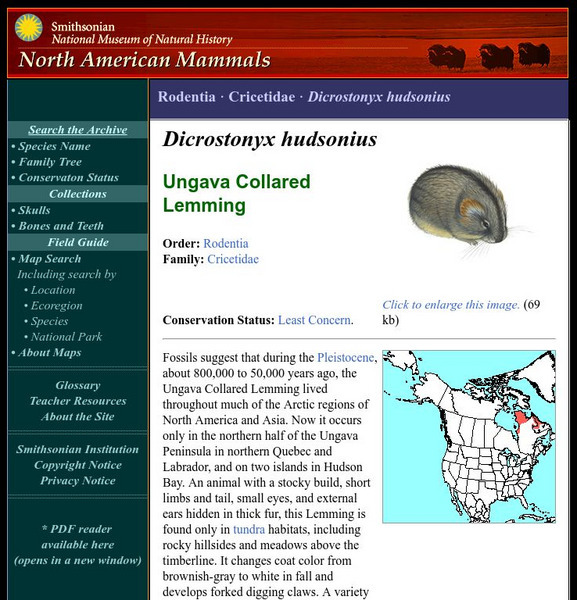
National Museum of Natural History: American Mammals: Ungava Collared Lemming
Fossils suggest that during the Pleistocene, about 800,000 to 50,000 years ago, the Ungava Collared Lemming lived throughout much of the Arctic regions of North America and Asia. Now it occurs only in the northern half of the Ungava...
Canadian Theatre Encyclopedia
Canadian Theatre Encyclopedia: Centaur Theatre
Centaur Theatre company has the distinction of being the most significant english language theatre company in Quebec. As well as Canadian works, the company also presents international shows.
Library of Congress
Loc: American Memory Timeline: Colonial Settlement,1600s 1763
Read about the colonization in the New World by many European countries. Hyperlinks to you to more specific topics.
Digital History
Digital History: European Colonization North of Mexico
Although settlements by other northern European countries are mentioned, the primary focus of this article is on English settlements and the types of immigrants who came to the New World from England.
Other
Montreal Cam
Take a virtual tour of Montreal any time of the day or week. Features webcam pictures of popular tourist sites in Greater Montreal captured live. Includes the Biodome, downtown, Old Montreal, and more.
Other
Dictionary of Canadian Biography Online: Joseph Legare
Very detailed biographical reference source for information on Canadian painter, collector, and politician Joseph Legare.
Other
Renens Natation
This website gives information about the swimming club (results, pictures, trainers, etc.).
Other
Maps of the American Revolution
Although this is a "selling" site, it is a good resource that not only supplies images of maps of the times, but provides the background to the map - when it was published, what was going on at the time, etc.
The Newberry Library
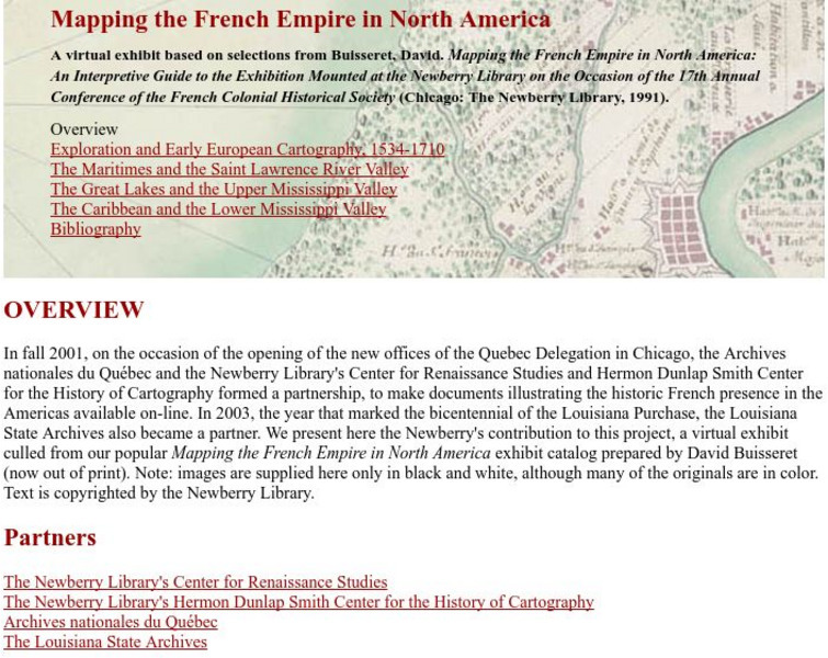
Newberry Library: Library Exhibit: Mapping the French Empire in North America
A virtual exhibit containing documents illustrating the historic French presence in the Americas.
University of Groningen
American History: Outlines: Outline of American History Coercive Acts
This essay provides information about the First Continental Congress which was called as a result of the passage of the Coercive Acts.
Wikimedia
Wikipedia: Company of One Hundred Associates
Outlines what the Company of One Hundred was and what they aimed to accomplish in the New World with the fur trade and colonization.
Wikimedia
Wikipedia: History of Canada (1992 Present)
Historical events in Canada from 1992 to the present are outlined. Events of greatest importance are covered including the Chretien Government, the creation of Nunavut, and contemporary social issues such as same-sex marriages. Links for...
Open Door Team
Open Door Web Site: Treaty of Paris
In this article you will find a brief description of the Treaty of Paris that ended the Seven Years' War and gave all French land in North America to England.
Siteseen
Siteseen: Land of the Brave: Samuel De Champlain Facts
Overview and biographical facts on the life of Samuel de Champlain, "the Father of Canada".
Other
Philadelphia Print Shop: The French & Indian War
Read a brief history of the war with information on the British and the French. The page also includes a link to "Maps of the French & Indian War," which could be used in an elementary classroom setting. Note that this is an...
Mocomi & Anibrain Digital Technologies
Mocomi: Hiroshima and Nagasaki Bombing
Features interesting facts about the Hiroshima and Nagasaki bombing in 1945.
Curated OER
Educational Technology Clearinghouse: Maps Etc: Eastern Canada, 1885
A map from 1885 of eastern Canada showing the provinces of Ontario, Quebec, New Brunswick, Prince Edward Island, Nova Scotia, with an inset map of Newfoundland. This map shows the county boundaries for the region, including the...
Curated OER
Educational Technology Clearinghouse: Clip Art Etc: Sir Guy Carleton
Sir Guy Carleton, afterward Lord Dorchester, was Wolfe's quartermaster at the storming of Quebec, and was appointed a major in the British army in 1772. In 1774 he was constituted Captain-general and Governor of Quebec or Canada. He...
Curated OER
Etc: Maine Boundary Controversy, 1763 1842
A map of Maine showing the boundary disputes with Quebec and New Brunswick between 1763-1842. The map shows the areas claimed by Quebec under the Proclamation of 1763, by the Americans to St. Croix River till 1798, by Great Britain from...
Curated OER
Educational Technology Clearinghouse: Maps Etc: New Hampshire, 1903
A map from 1903 of New Hampshire showing the capital of Concord, counties and county seats, principal cities and towns, railroads, rivers, and mountain ranges. "New Hampshire, one of the New England States of the American Union, lies...
Curated OER
Educational Technology Clearinghouse: Maps Etc: North America, 1903
A map from 1903 of North America. The focus of this map is the Dominions of Canada, showing the transportation network in from Montreal east to Quebec and Nova Scotia, and west to Vancouver, British Columbia. The map shows the...
Curated OER
Etc: Maps Etc: The Thirteen Colonies at the End of the Colonial Period, 1774
A map of the British Thirteen Colonies at the end of the colonial period in 1774. The map shows the boundaries of the colonies and notes the uncolored territory east of the Mississippi and south of the Great Lakes as claimed by Georgia,...
Curated OER
Educational Technology Clearinghouse: Maps Etc: Acadia, 1758
A map of Acadia, Port Royal, and Nova Scotia at the time of the siege of Louisbourg on Cape Breton (1758) during the French and Indian War (1754-1763), and the route by sea between Boston and Quebec.
Curated OER
Educational Technology Clearinghouse: Maps Etc: Ontario, 1902
A map from 1902 of Ontario showing major cities and towns, railways, rivers, lakes, and the frontier with Quebec. An inset map shows the northwestern portion of the province along Lake Superior.
Other popular searches
- Alberta and Quebec
- Quebec Winter Carnival
- Comparing Alberta and Quebec
- Quebec Act 1774
- Quebec Act
- Quebec Culture
- Quebec Canada Conflict
- Deforestation in Quebec
- Quebec Society
- Quebec Sovereignty
- Quebec Carnival Lesson Plans
- Quebec Separatism


