Alabama Department of Archives and History
Alabama's Steps to Statehood
To demonstrate their understanding of the steps Alabama took to become a state, groups create a poster that identifies what the United States Constitution and the Northwest Ordinance required of a territory to become a state.
New York State Education Department
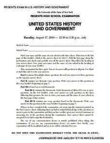
US History and Government Examination: August 2010
Geography has played a complex role in America history. The Atlantic Ocean has served as a buffer to protect the United States from European Wars, but its proximity to Cuba, however, left it vulnerable to nuclear war during the Cuban...
Annenberg Foundation
A Growing Global Power
How does a nation turn into a global superpower? The 16th installment of the 22-part series on American history investigates the rise of the United States to global importance in the late nineteenth and early twentieth centuries. Groups...
Curated OER
Making Cents of Independence
Have your class explore the history of Texas using this comprehensive lesson plan! They read about Texas' march toward statehood, the Alamo, and more. There is a series of worksheets, graphic organizers, and a rubric which make this...
Curated OER
Grid Frame Mapping
Students map and describe small area of the schoolyard and discuss habitats.
Curated OER
Exploring Biomes Lesson 4: Mapping Arizona
Once junior ecologists are familiar with Earth's major biomes, they hone in on Arizona's biomes. Using a website about Arizona's natural resources, learners will identify biotic communities. Beautiful maps and worksheets are provided for...
Curated OER
Exploring Arizona's Biotic Communities Lesson 1: Mapping Biotic Communities
As part of a unit on Arizona's biotic communities, young ecology learners create a map. They describe how humans and animals adapt in their habitat. They take notes and create graphic organizers from articles they read. Beautiful maps,...
Ashbrook Center at Ashland University
Ratification of the Constitution
How difficult was it to get everyone to agree on the contents of the Constitution? Historians analyze the task of the Founding Fathers in creating the United States Constitution. They research a directory of video clips, primary sources,...
Curated OER
Unit V: Worksheet 2 - Constant Force
Physics learners studying force and acceleration practice solving eight problems with this assignment. They calculate acceleration and deceleration, net force, and distances required for stopping a moving object. Kinematics equations and...
Curated OER
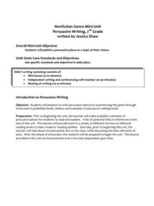
Nonfiction Genre Mini-Unit: Persuasive Writing
Should primary graders have their own computers? Should animals be kept in captivity? Young writers learn how to develop and support a claim in this short unit on persuasive writing.
University of Richmond
Canals 1820-1860
While canals are not a common mode of transportation today, they were part of the fuel for America's industrialization. However, most of them were located in the North, also feeding regional differences and sectionalism. Using an...
Curated OER
Mystery State #31
For this United States mystery worksheet, students determine which state is described by the 5 clues listed on the sheet and then mark it on the outline map of the United States.
Curated OER
Mystery State #23
In this United States mystery activity, students determine which state is described by the 5 clues listed on the sheet and then mark it on the outline map of the United States.
Curated OER
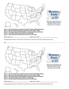
Mystery State #35
In this United States mystery worksheet, students determine which state is described by the 5 clues listed on the sheet and then mark it on the outline map of the United States.
Curated OER
Mystery State #36
In this United States mystery worksheet, learners determine which state is described by the 5 clues listed on the sheet and then mark it on the outline map of the United States.
Curated OER
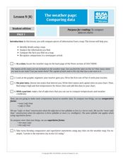
The Weather Page-Comparing Data
Young scholars examine weather patterns in the United States. In this weather lesson, students use a United States map to identify high and low temperatures in two states. Young scholars compare the data and record their findings onto a...
Curated OER
Mapping West Virginia
Fourth graders explore West Virginia. In this Unites States geography lesson, 4th graders discuss the type of land and the cities in West Virginia. Students create two overlays, with transparencies, that show the natural land and the...
Curated OER
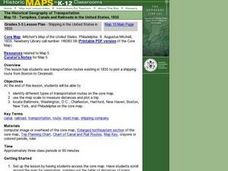
Shipping in the United States in 1835
Students use transportation routes existing in 1835 to plot a shipping route from Boston to Cincinnati. They use the map scale to measure distances and plot a trip.
Curated OER
U.S. Puzzle Map Bulletin Board
Students create cutouts of each state. They research different states noting their similarities and differences. They describe each state's location in relation to the state's surrounding them.
Curated OER
"Place the State" Game
Students participate in a computer game in which they locate and place the U.S. states on a blank outline map. In small groups, they take turns dragging and dropping the states in the proper location on a map.
Curated OER
The World (With an emphasis on the United States)
Fourth graders recognize the different continents. They are introduced to longitude and latitude and how to find locations using these measurements. This series ends with an emphasis on the fifty states of the United States and their...
Curated OER
Mystery State #38
In this United States mystery worksheet, students determine which state is described by the 5 clues listed on the sheet and then mark it on the outline map of the United States.
Newark Public Schools
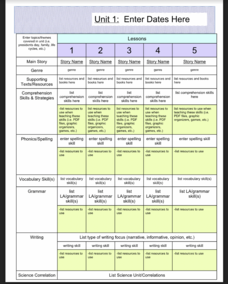
ELA Curriculum Map
Organize your curriculum of narratives and stories within an ELA unit and keep track of what elements are needed to ensure the unit's success. This curriculum map template allows you to plan for supporting texts, comprehension...
Carolina K-12
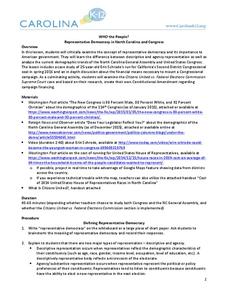
Who the People? Representative Democracy in North Carolina and Congress
Our elected officials are supposed to represent us, but what does it mean when they aren't like us? Budding citizens explore the demographic makeup of the US Congress, the role of money in political elections, and the Citizens United...
Other popular searches
- United States Maps Regions
- Northeast United States Maps
- 50 United States Maps
- Create United States Maps
- Western United States Maps
- Custom United States Maps
- Outline Maps United States
- Blank United States Maps
- Maps, United States Rivers
- Maps United States Capitals
- Maps of the United States
- Maps United States


