Curated OER
Indiana Tornado Project
High schoolers become familiar with the use of GIS for research, natural phenomena in Indiana, and analyzing collected information.
Curated OER
Can You Give Me Directions To the Game?
Students become familiar with the use and capabilities of GIS and use it for research and mapping purposes. They heighten their ability to estimate travel times by incorporating distance, mode of travel and urban congestion into the...
Wikimedia
Wikipedia: Geographic Information System
Gives in-depth information about GIS - its history, what it is, techniques and tools, applications, etc.
University of Colorado
University of Colorado: The Geographer's Craft Project: Gis as an Integrating Technology
A comprehensive overview of GIS as a technology that brings different kinds of geographical data together to create something that is greater than the sum of its parts.
Other
Space Applications Centre: Geographical Information System Concepts
The introduction of this article explains why GIS data is so critical to a government being able to plan for natural resources development and management. The article goes on to explain key geographic concepts, what GIS is and why it...
National Geographic
National Geographic: Gis in Action
Use maps to solve problems and help animals. Click on an animal to learn important facts, then click on the map to see layers of different kinds of information.
Other
Gis Lounge: What Is Gis?
Tries to give a clear answer to the often-asked question, 'What is GIS?'
Other
Ordnance Survey: Mapzone: Gis Zone
Understand the digitalization of maps at the end of te twentieth century. Discover what GIS stands for, what it does, and how it helps many people in the world.
Other
Great Lakes Information Network
The Great Lakes Science Center provides research on various topics concerning the Great Lake environment such as fish advisories, contaminants, threatened species, low water levels, and sustainable development of the Lakes.
Other
Esri What Is Gis?
This site is provided by ESRI, a leading GIS software developer. It explains how GIS works and ways in which it is used.
TeachEngineering
Teach Engineering: Digital Mapping and Geographic Information Systems (Gis)
Geographic information systems (GIS), once used predominantly by experts in cartography and computer programming, have become pervasive in everyday business and consumer use. This unit explores GIS in general as a technology about which...
US Geological Survey
Geographic Information Systems
This is an extensive resource explaining what Geographic Information Systems (GIS) are, how they work, applications of GIS, and GIS through history.
National Geographic
National Geographic: The Politics of Place Naming
Students use an online geographic information system (GIS) to uncover the geographic and social context of streets named after Martin Luther King, Jr. They map street locations to identify regional patterns in honoring King, consider...
Science Education Resource Center at Carleton College
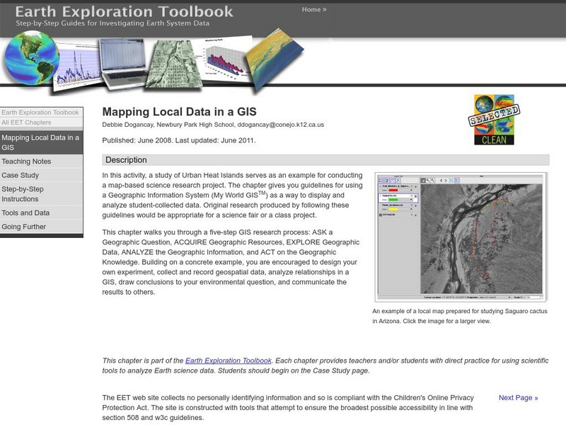
Serc: Mapping Local Data in a Gis
In this activity, students will learn how to conduct a map-based science research project using a Geographic Information System (GIS). They will design an experiment, collect and record geospatial data, analyze geospatial relationships...
Science Education Resource Center at Carleton College
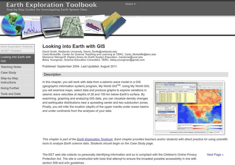
Serc: Looking Into Earth With Gis
Multi-lesson activity where students will work with data from a seismic wave model in a GIS (geographic information system) program. They will examine maps, select data, and produce graphs to explore variations in seismic wave velocities...
Other
Archaeology Data Service: Gis Guide to Good Practice
This document is designed specifically to provide guidance for individuals and organizations involved in the creation, maintenance, use and long-term preservation of GIS-based digital resources.
American Geosciences Institute
American Geosciences Institute: Earth Science Week: Global Gis Lesson: Exploring North American Earthquakes
In this series of lessons, students use Geographic Information Systems (GIS) together with the tools and data from the North America Global GIS CD to investigate earthquakes, volcanoes, and population from a local to global scale....
Other
Esri Gis Education Community
Educators can incorporate ESRI GIS into their classroom to enrich geography lessons and use this community to trade ideas with other educators.
American Geosciences Institute
American Geosciences Institute: Earth Science Week: Exploring 'Wild' Places With Gis
This lesson plans uses Geographic information systems (GIS) technology to explore the local geography.
American Geosciences Institute
American Geosciences Institute: Earth Science Week: Exploring Change With Gis
Gives an overview of how Geographic Information Systems technology is used to monitor changes in conditions on the Earth. Provides a link to the website with lessons on using GIS. (Due to site changes, you may need to search for teachers...
American Geosciences Institute
American Geosciences Institute: Earth Science Week: Exploring Energy With Gis
In this lesson plan, students will learn how Geographic Information Systems technology is used to locate energy reserves around the Earth. Provides link to website with lessons on using GIS. (Due to site changes, you may need to search...
American Geosciences Institute
American Geosciences Institute: Earth Science Week: Gis and Careers
Students learn about GIS technology for solving problems and learn how employers seek workers who know how to make good decisions in a complex world.
University of British Columbia
Ubc: What Is Gis?
This is a university-level introduction to GIS. It provides a comprehensive outline of important topics in this field of study.


