US Census Bureau
U.s. Census Bureau: Quick Facts: Colorado
A table of current statistical information on people, businesses, and geography in Colorado and how it compares to the United States as a whole, taken from the U.S. Census Bureau.
US Department of State
U.s. Dept. Of State: u.s. Relations With Chile
Provides information about the relationship between the United States and Chile. Additional information about the country is available through the links at the bottom of the page.
Johns Hopkins University
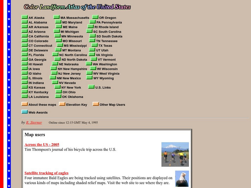
John Hopkins University: Color Landform Atlas of the u.s.
This site from John Hopkins University provides detailed maps of and physical information on each of the 50 states. Maps range from relief maps to satellite images, to historical maps.
ABCya
Ab Cya: u.s. States and Capitals: Penguin Hop
Don't slip on the ice! Up to four students at a time will drill states and capitals with this engaging game of penguins hopping on icebergs. Right and wrong answers are tallied and provided at the end of the game.
US Government Publishing Office
Ben's Guide to u.s. Government: Games
Test your knowledge of U.S. geography and government with these games and printable activities. In one game, see if you can place all 50 states in their correct location. In the second game, see if you can recognize the powers of each...
Lizard Point Quizzes
Lizard Point: u.s.a.: States Quiz
Test your geography knowledge by taking this interactive quiz over the Unites States of America.
Lizard Point Quizzes
Lizard Point: u.s.a.: State Capitals Quiz
Test your geography knowledge by taking this interactive quiz over the state capitals of the United States.
ABCya
Ab Cya: Geography Practice: Usa Puzzle Map
Assemble a puzzle of the United States to test your knowledge of its geography.
HotChalk
Hot Chalk: Lesson Plans Page: Edible Geography
Lesson that helps students understand geography of states by creating an edible map of the state, using real food to indicate parts of the state.
Curated OER
National Park Service: Teaching With Historic Places
Lessons and activities using places on the National Park Service's National Register of Historic Places to enliven courses in U.S. history, U.S. geography, and U.S. government.
US Geological Survey
U.s. Geological Survey: Education: Disease Maps
Disease maps that trace the incidence of West Nile virus, encephalitis and dengue fever across the United States and its territories demonstrate one of the many uses of geography.
Utah Education Network
Uen: Utah History Encyclopedia: Physical Geography of Utah
This resource provides information on the physical geography of the state.
US Department of Education
Helping Your Child Learn Geography
This parent guide helps you to teach your child geography. The site features a section on each of the five themes of geography and how to specifically teach a child to learn and be able to apply each theme. Although published in 1996, it...
Curated OER
Bureau of Land Management: Blm California
The U.S. Bureau of Land Management offers fascinating information regarding the public lands of California - conservation, use for energy, waste, wildlife, etc. Visit various locations o learn more about specific regions of the state and...
Geographyiq
Geography Iq: Mongolia: Relations With u.s.
This site provides the history on the relationship between the U.S. and Mongolia.
Other
Quiz Hub: u.s. Map Game
Test your knowledge of United States geography by playing this U.S. map game. Game is timed.
US Holocaust Memorial Museum
U.s. Holocaust Memorial Museum: The Holocaust in Italy
The history of the Holocaust in Italy is generally well known, but to date there has been little systematic analysis of its spatial dimensions. The objective of this case study is to examine the Holocaust in Italy from a geographical...
US Government Publishing Office
Ben's Guide to u.s. Government: Our Nation
Cartoon Ben Franklin guides students through a simple geography lesson about the seven continents, North America, the fifty states, and Washington, D.C.
Fun Brain
Fun Brain: Where Is That?
Test your knowledge of U.S. and world geography. Five levels of games challenge players to identify states, capitals, and countries.
University of California
Department of Geography: u.s. Army Balloon Corps
Pictures of hot air balloons in the Civil War and a brief explantation of their use.
US Geological Survey
U.s. Geological Survey: Haleakala Crater and the East Maui Volcano
Information from USGS about the Haleakala Crater and the East Maui volcano, including the volcano's eruptive history, maps of the crater, and geologic data sets.
Teacher Oz
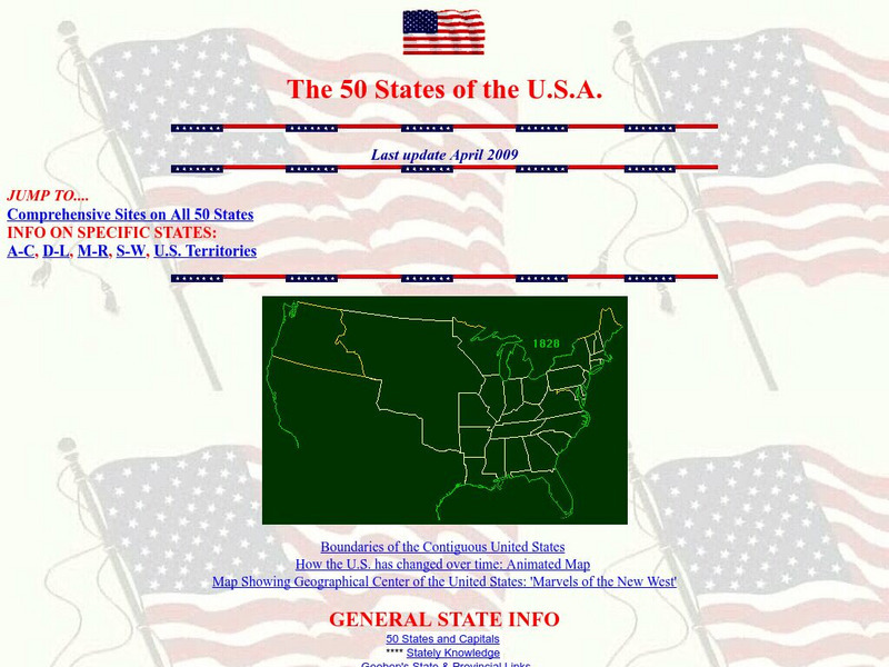
Teacher Oz: 50 States of the u.s.a.
A site with information such as maps, flags and songs of each of the 50 states in the US.
Geographyiq
Geography Iq: Hungary Relations With u.s.
Visit this website for an excellent overview of the relationship between Hungary and the United States since World War II.
Travel Document Systems
Tds: Benin: Geography
Read about the geography, climate, and wildlife of Benin in this article with information from the U.S. State Dept. Background Notes.
Other popular searches
- U.s. Geography Lesson Plans
- U.s. Geography Southeast
- U.s. Geography Slavery
- U.s. Geography Northeast
- U.s. Geography California
- U.s. Geography Oregon
- U.s. Geography and Economics
- U.s. Geography Pdf
- U.s. Geography West
- U.s. Geography Activity
- U.s. Geography + Slavery
- U.s. Geography Southwest


