Other
Postcards From America: Homepage
This site is provided for by Postcards From America. Hitch a ride on "Harvey the RV," and share the adventures of several teachers as they explore the great United States of America. Their electronic postcards take a quick "snapshot" of...
Curated OER
U.s. Dept. Of Education: Lets Do Geography!
From the U.S. Department of Education, this site is a good resource for parents and teachers of students Pre-K through 6th grade to help them to learn about Geography. Helpful hints and ideas are broken down into three age groups.
Digital Dialects
Digital Dialects: Geography Games: States of the Usa
Study a map showing the states in the USA, and then try to match their names to their locations on a blank map.
Ducksters
Ducksters: Geography Games: Capital Cities of the United States
Play this fun geography map game to learn about the capitals of the 50 states of the United States.
Houghton Mifflin Harcourt
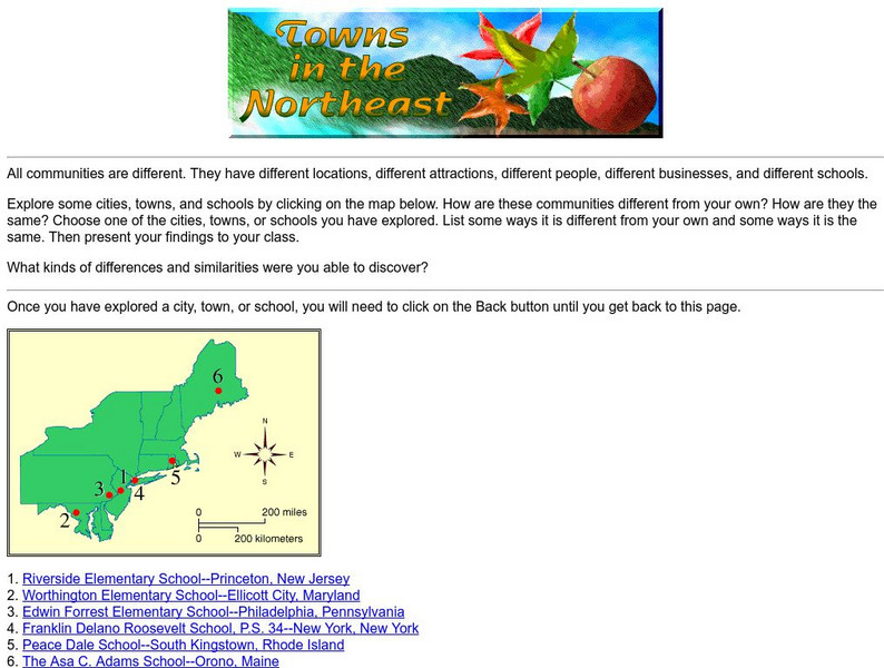
Harcourt: School Publishers: Towns in the Northeast
"All communities are different. They have different locations, different attractions, different people, different businesses, and different schools." This site is about some of the cities in the Northeast section of the United States....
Houghton Mifflin Harcourt
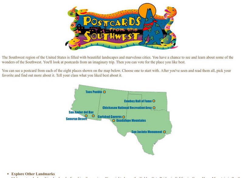
Harcourt: School Publishers: Postcards From the Southwest
The Southwest region of the United States is filled with beautiful landscapes and marvelous cities. Use this site to see and learn about some of the wonders of the Southwest. You'll look at postcards from an imaginary trip. Then you can...
The Newberry Library
Newberry Library: Historic Maps in K 12 Classrooms
Great resource for teachers of geography and American history for all levels. You will find lesson plans based on the use of maps for all ages.
National Geographic
National Geographic: Education
Excellent, comprehensive site from National Geographic that provides lesson plans, activities, maps, and National Geography Standards. Teachers can find lesson plans based on grade and standard. Covers current issues, for example, global...
National Endowment for the Humanities
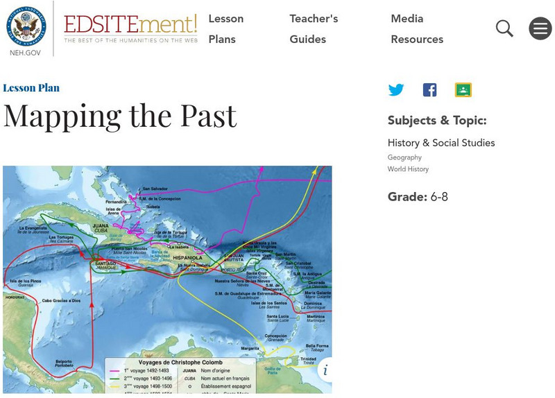
Neh: Edsit Ement: Mapping the Past
Students will examine European world maps from the Middle Ages, the Age of Discovery, and the period of New World exploration. They will then look at maps that record the early exploration of the American West and collect present-day...
PBS
Pbs Learning Media: 50 States Part 2 Lesson Plan
In this lesson, learners combine psychomotor skills and geography as they travel from Montana to Wyoming. As students travel from state to state, they learn regional facts and state capitals. Learners perform physical tasks highlighting...
PBS
Pbs Learning Media: 50 States Part 1 Lesson Plan
In this lesson, students travel virtually to 25 different states from Alabama to Missouri. While on their journey students explore geography, learn state capitals and interesting facts along the way. Movements are unique and incorporate...
World InfoZone
World Info Zone: Us Virgin Islands
Great reference tool that is full of useful information about the US Virgin Islands in the Caribbean. Content includes: geography, environment, architecture, religion, food, history, economy, arts, sports, and news. Be sure to look at...
Knowledge Share
Super Kids: Hangman
Use this interactive site to enhance students' spelling and vocabulary while refreshing their memories in history, geography, language, science, and entertainment. It is available to use on line or you can purchase leveled apps for the...
US Holocaust Memorial Museum
U.s. Holocaust Memorial Museum: Landscapes of Experience
The maps and visualizations represented in this case study are a representative sample of the methodologies employed to explore the spatial, temporal, and experiential dimensions of the evacuations of more than 57,000 Jewish and...
Lizard Point Quizzes
Lizard Point: Eastern Usa: State Capitals Quiz
Try this interactive geography quiz which tests your knowledge on the capital cities in the Eastern United States.
Lizard Point Quizzes
Lizard Point: Western Usa: State Capitals Quiz
Test your geography knowledge by taking this interactive quiz over the state capitals of the western United States.
Lizard Point Quizzes
Lizard Point: Western Usa: States Quiz
Test your geography knowledge by taking this interactive quiz over the western United States.
Lizard Point Quizzes
Lizard Point: Eastern Usa: States Quiz
Test your geography knowledge by taking this interactive quiz over the Eastern United States.
A&E Television
History.com: The States
Learn unique facts about each American state. You can also read a more in-depth history of each state, watch videos and play a game about all the states.
Other
National Atlas of the United States
The National Atlas of the United States provides comprehensive information collected by the Federal Government and delivered through interactive maps. Select from a variety of scientific, societal, and historical information to be...
iCivics
I Civics: This Land Is Your Land
Students explore the geography of the United States as well as its territories, including Puerto Rico and Guam. Students learn a brief history of the U.S. territories as well as some of the major American landmarks.
University of Pennsylvania
University of Pennsylvania: Mali
View a country map, a capital map, travel advisories, visit the Mali Embassy in the U.S. site, and find links to more information about the country.
University of Pennsylvania
University of Pennsylvania: Republic of Benin
Provides a country map, travel advisories, link to Benin embassy in U.S.,facts about the Republic of Benin, and more.
Other
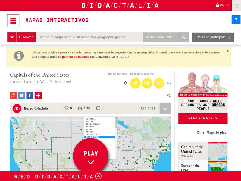
Didactalia: Interactive Map: Capitals of the United States
Interactive map and game to identify capitals of the U.S. states.
Other popular searches
- U.s. Geography Lesson Plans
- U.s. Geography Southeast
- U.s. Geography Slavery
- U.s. Geography Northeast
- U.s. Geography California
- U.s. Geography Oregon
- U.s. Geography and Economics
- U.s. Geography Pdf
- U.s. Geography West
- U.s. Geography Activity
- U.s. Geography + Slavery
- U.s. Geography Southwest


