University of Colorado
University of Colorado: The Geographer's Craft Project: Gis as an Integrating Technology
A comprehensive overview of GIS as a technology that brings different kinds of geographical data together to create something that is greater than the sum of its parts.
TeachEngineering
Teach Engineering: Digital Mapping and Geographic Information Systems (Gis)
Geographic information systems (GIS), once used predominantly by experts in cartography and computer programming, have become pervasive in everyday business and consumer use. This unit explores GIS in general as a technology about which...
Wikimedia
Wikipedia: Geographic Information System
Gives in-depth information about GIS - its history, what it is, techniques and tools, applications, etc.
National Geographic
National Geographic: Gis in Action
Use maps to solve problems and help animals. Click on an animal to learn important facts, then click on the map to see layers of different kinds of information.
American Geosciences Institute
American Geosciences Institute: Earth Science Week: Exploring 'Wild' Places With Gis
This lesson plans uses Geographic information systems (GIS) technology to explore the local geography.
Other
Archaeology Data Service: Gis Guide to Good Practice
This document is designed specifically to provide guidance for individuals and organizations involved in the creation, maintenance, use and long-term preservation of GIS-based digital resources.
American Geosciences Institute
American Geosciences Institute: Earth Science Week: Exploring Energy With Gis
In this lesson, students will learn how Geographic Information Systems technology is used to locate energy reserves around the Earth. Provides link to website with lessons on using GIS. (Due to site changes, you may need to search for...
American Geosciences Institute
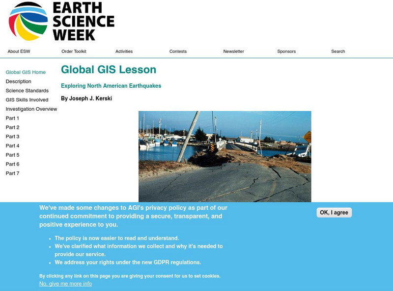
American Geosciences Institute: Earth Science Week: Global Gis Lesson: Exploring North American Earthquakes
In this series of lessons, students use Geographic Information Systems (GIS) together with the tools and data from the North America Global GIS CD to investigate earthquakes, volcanoes, and population from a local to global scale....
American Geosciences Institute
American Geosciences Institute: Earth Science Week: Exploring Change With Gis
Gives an overview of how Geographic Information Systems technology is used to monitor changes in conditions on the Earth. Provides a link to the website with lessons on using GIS. (Due to site changes, you may need to search for teachers...
University of British Columbia
Ubc: What Is Gis?
This is a university-level introduction to GIS. It provides a comprehensive outline of important topics in this field of study.
American Geosciences Institute
American Geosciences Institute: Earth Science Week: Gis and Careers
Students learn about GIS technology for solving problems and learn how employers seek workers who know how to make good decisions in a complex world.
Science Education Resource Center at Carleton College
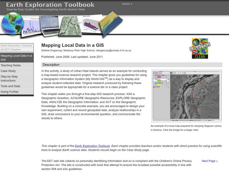
Serc: Mapping Local Data in a Gis
In this activity, students will learn how to conduct a map-based science research project using a Geographic Information System (GIS). They will design an experiment, collect and record geospatial data, analyze geospatial relationships...
Other
Esri Gis Education Community
Educators can incorporate ESRI GIS into their classroom to enrich geography lessons and use this community to trade ideas with other educators.
Science Education Resource Center at Carleton College
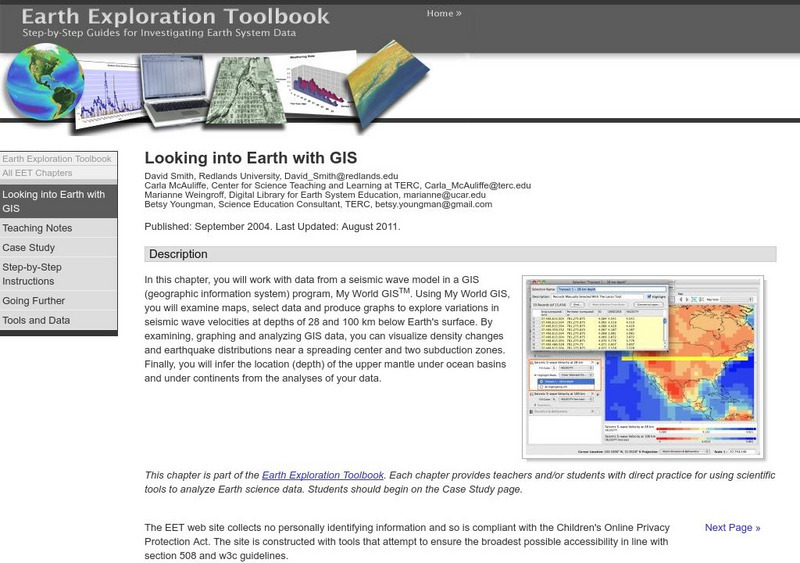
Serc: Looking Into Earth With Gis
Multi-instructional activity activity where students will work with data from a seismic wave model in a GIS (geographic information system) program. They will examine maps, select data, and produce graphs to explore variations in seismic...
TeachEngineering
Teach Engineering: What Is Gis?
Geographic information systems (GIS) are important technology that allows rapid study and use of spatial information. GIS have become increasingly prevalent in industry and the consumer/internet world in the last 20 years. Historically,...
University of California
Univ. Of Melbourne: Managing Uncertainty in Gis
A unit of the NCGIA core curriculum in GIS (Geographic Information Science), the author gives a full discussion of uncertainty, its sources, how to deal with it, what plans to make. Very thorough.
National Geographic
National Geographic: The Politics of Place Naming
Learners use an online geographic information system (GIS) to uncover the geographic and social context of streets named after Martin Luther King, Jr. They map street locations to identify regional patterns in honoring King, consider...
American Geosciences Institute
American Geosciences Institute: Earth Science Week: Exploring Climate Change With Gis
Use Geographic Information System (GIS) technology to observe climate change with these interactive lessons.
Science Education Resource Center at Carleton College
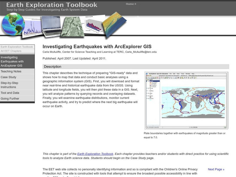
Serc: Investigating Earthquakes With Arc Explorer Gis
This activity allows students to predict future earthquake activity by interpreting the results of geographic information system (GIS) analysis.
Science Education Resource Center at Carleton College
Serc: Exploring Ncar Climate Change Data Using Gis
With ArcGIS and climate data from the National Center for Atmospheric Research Climate Change Scenarios GIS Data Portal, students learn the basics of GIS-based climate modeling.
Science Education Resource Center at Carleton College
Serc: Gis Exploration Using the High Plains Aquifer Databases
Students work with databases and GIS to develop saturated thickness maps. Each database consists of observations made by drillers where they have encountered the High Plains aquifer base and the annual water-level measurements taken in...
American Geosciences Institute
American Geosciences Institute: Earth Science Week: Analyzing Hurricanes Using Web and Desktop Gis
In this activity, students research hurricane data to discover their behavior and patterns. They map them across decades to see whether their frequency is increasing. They study Hurricane Andrew and investigate the relationship between...
Other
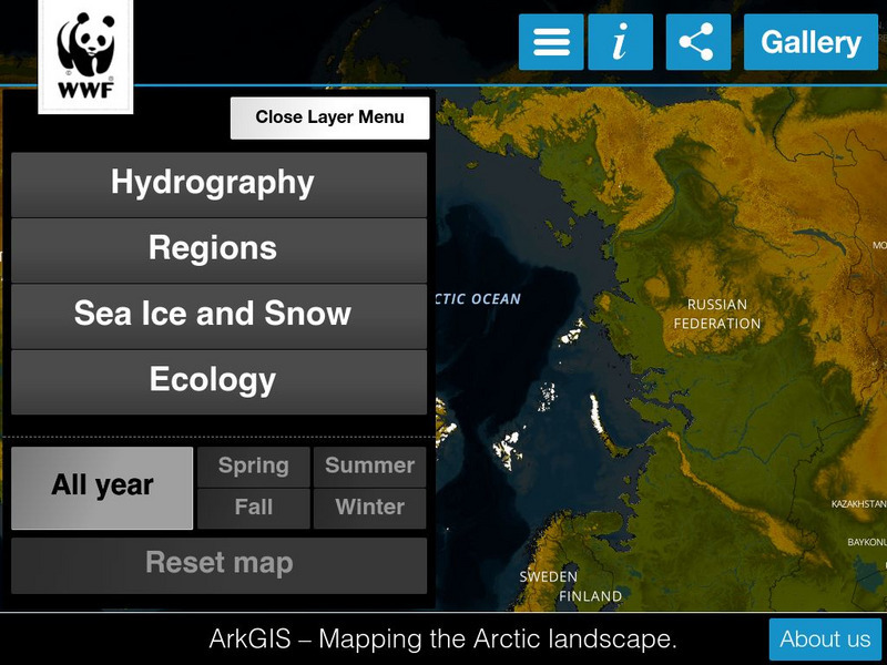
Ark Gis: Exploring the Arctic
Interactive mapping platform that combines and integrates existing data about the environment and human activity in the Arctic.
Other
Great Lakes Information Network
The Great Lakes Science Center provides research on various topics concerning the Great Lake environment such as fish advisories, contaminants, threatened species, low water levels, and sustainable development of the Lakes.
Other popular searches
- Gis Data
- Gis Map
- Gis Software
- Gis Environment
- Gis and Gps Technology
- Gis Gps
- Gis and Remote Sensing
- Gis Data Map
- Geography, Gis
- Gis Lesson Plans
- Gps/gis
- Gis Water


