Curated OER
The Plains Indians
Students have a better understanding of another culture other than their own. This help them to see that there were other people living in this region before us.
Curated OER
A Canadian Inventory: The Way We Are!
Students, in groups, explore major thematic sections of the Atlas of Canada. They use their findings to produce a wall display, consider and incorporate the issue of sustainability into their material and deliver a presentation to the...
Curated OER
Mapping Population Changes In The United States
Students create a choropleth map to illustrate the population growth rate of the United States. They explore how to construct a choropleth map, and discuss the impact of population changes for the future.
Curated OER
So -- What's Happening Here, On This Old Christmas Tree Farm?
Students review their prior knowledge on biomes and ecosystems. At a local Christmas tree farm, they work together in groups to identify the changes occuring in the area. They participate in solving a mystery in which they determine the...
Curated OER
Aboriginal Societies of Canada
Fourth graders study Aboriginal Societies in Canada and do an oral presentation to the class.
Curated OER
Rising Tensions Over The Nile River Basin
Students analyze the concept of global commons dilemma. In this investigative lesson students read an article on the Middle East Media Research Institute and answer questions accordingly.
Curated OER
Geotagging in school
Students create a digital photo map of the world. In this digital photo map lesson plan, students pick topics such as the Olympics, natural disasters, or trip planning and create a photo map on the computer.
Curated OER
Welcome to the Rain Forest
Fourth graders become aware of the worlds rain forest and study the plants of the rain forest and the adaptations they have made to survive in the environment.
Curated OER
Facts, Fictions and Perceptions of Regions
Students examine the different characteristics of the regions of the United States. They discuss places they have visited in the U.S., and in small groups conduct research on a selected region of the U.S. Each group labels a map of...
Curated OER
A Picture Is Worth A Thousand Words
Students complete a population pyramid for a city they are studying. They may complete a population pyramid for their city and another one for the country in which the city is located. They compare and contrast the results of the two...
Curated OER
Site vs. Situation: Location! Location! Location!
Students examine places with a similar latitude to Alabama, and discuss the importance of a location's site versus its situation. They analyze maps, create a chart, and write a paragraph on the difference between site and situation.
Curated OER
Social Studies: Canadian City Comparison
Students research Canadian population distribution while comparing and contrasting the quality of life in two cities. They discuss issues and problems that cities and rural towns face. Students apply various methods, such as graphs and...
Curated OER
Effect of Daylight Hours on Human Activity
Students determine the average hours of daily sunlight for each month of the year by constructing a bar graph. They develop a understanding of how the amount of daylight hours varies by month and how that affects both temperature and...
Curated OER
Underground Sleuths Discover Riches Beneath the Plains
Middle schoolers identify Alberta, Saskatchewan, and Manitoba on map, and use Canadian Atlas to locate regions of natural resources in Central Plains, which have vital impact upon the economy. Students then complete scavenger hunt...
Curated OER
Introduction to the Barnegat Bay Estuary
Students research estuaries. In this estuaries lesson, students discuss the differences in a bay and an ocean. Students watch a PowerPoint of the properties of the estuaries and geography of Barnegat Bay. Students complete a worksheet...
Curated OER
Southern Agriculture and the Slave Trade
Students examine the relationship between agriculture and the slave trade during the 1860s. In groups, they research how two factors led to the explosion of slavery in the Southern United States. Using maps, they answer comprehension...
Curated OER
Affects of Geography on Colonial Cultures
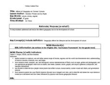
Sixth graders examine the effects of geography on the development of culture. They discuss how geography can affect the lifestyles and development of a society's culture. Students examine the geography and climate of New England and the...
Curated OER
Researching Alternative Energy
Sixth graders investigate the concept of energy using a hypothetical story. The power goes out in their house and they no longer can play your videogames. Students must create your own alternative power source. This story sets the stage...
Curated OER
Hit The Road Jack(or Jill)
High schoolers find the approximate area of the court order on a current map of Delaware. They draw a layout of their school and decide where a new hallway or outside pathway would be most needed.
Curated OER
Lesson L - Hit The Road Jack (or Jill)
Students discuss forms of transportation in Delaware during 18th Century, find approximate area of court order on current map of state, draw layout of their school, and decide where new hallway or outside pathway would be most needed.
Science Education Resource Center at Carleton College
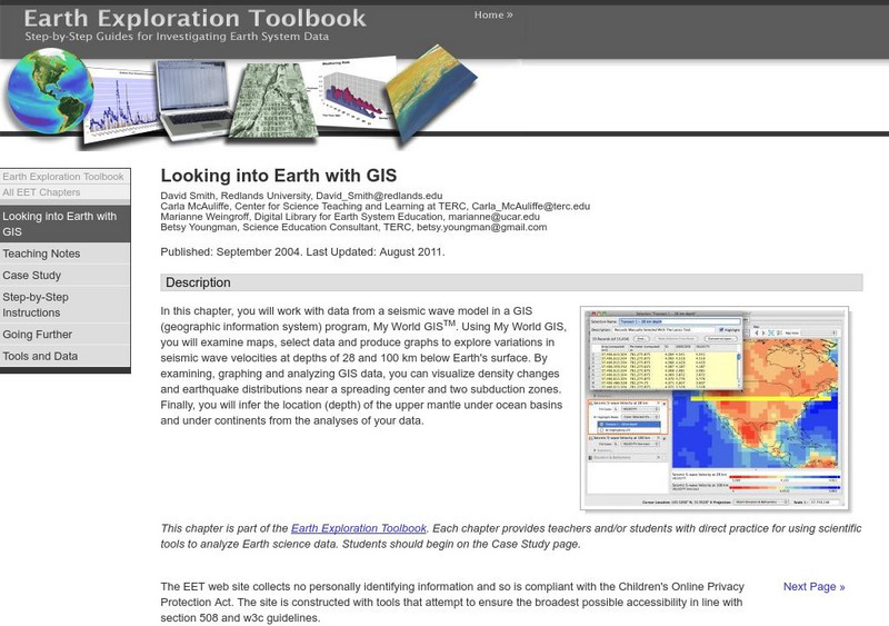
Serc: Looking Into Earth With Gis
Multi-instructional activity activity where students will work with data from a seismic wave model in a GIS (geographic information system) program. They will examine maps, select data, and produce graphs to explore variations in seismic...
American Geosciences Institute
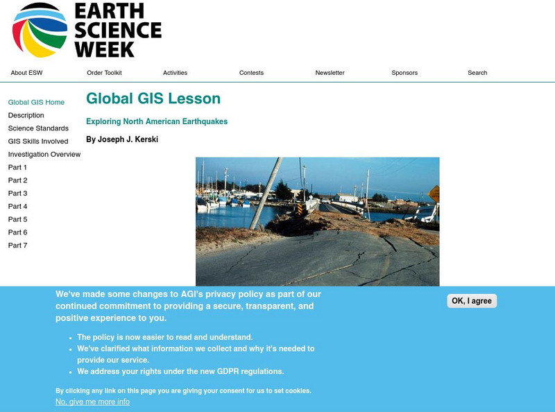
American Geosciences Institute: Earth Science Week: Global Gis Lesson: Exploring North American Earthquakes
In this series of lessons, students use Geographic Information Systems (GIS) together with the tools and data from the North America Global GIS CD to investigate earthquakes, volcanoes, and population from a local to global scale....
Science Education Resource Center at Carleton College
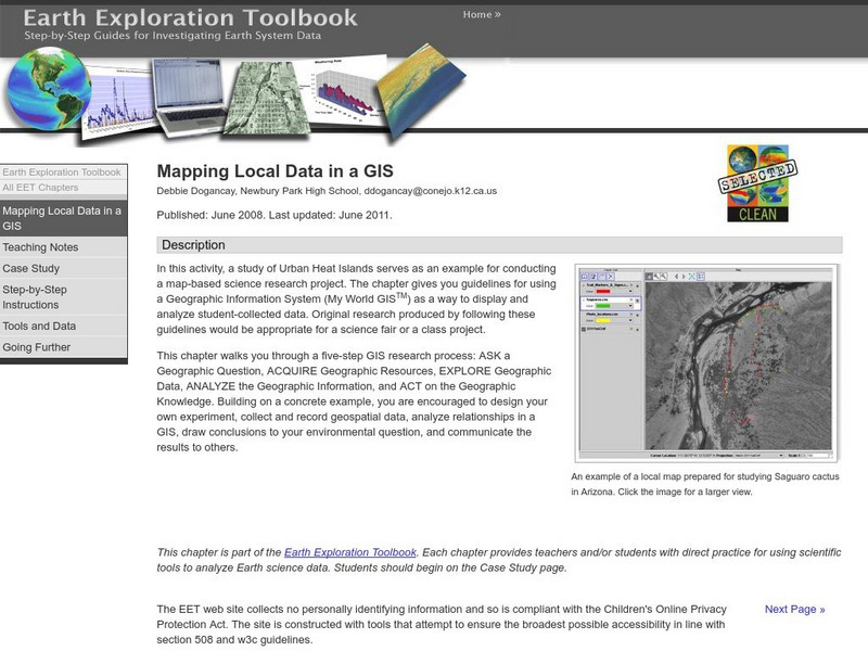
Serc: Mapping Local Data in a Gis
In this activity, students will learn how to conduct a map-based science research project using a Geographic Information System (GIS). They will design an experiment, collect and record geospatial data, analyze geospatial relationships...
Science Education Resource Center at Carleton College
Serc: Exploring Ncar Climate Change Data Using Gis
With ArcGIS and climate data from the National Center for Atmospheric Research Climate Change Scenarios GIS Data Portal, students learn the basics of GIS-based climate modeling.


