Curated OER
Agriculture, Weather, Economy and Indiana
Fourth graders, in groups, investigate the role of weather in Indiana's farming economy. They make a prediction as to weather and its effect on the economy of Indiana. They present their data using a media presentation of data...
Curated OER
Who Are These Chinese People?
High schoolers research the Han, a main Chinese ethnic group and the Hui, another numerous group. They write a paper about the Hui including geography, religion, eating habits, languages, politics and customs.
Curated OER
Geography: World Dynamics
Students discuss and examine how the world is changing. After reading an article, they discover the immediate changes that have taken place and how they have effected living things. They complete a worksheet identifying the changes as...
Curated OER
Traveling Along the Indiana Underground Railroad
Learners develop a deeper understanding of the role that Indiana played in the Underground Railroad while exploring Indiana Geography.
Curated OER
Give Me The C and D Canal!!!
Students estimate the distance from Baltimore to Philadelphia via the water route before the Chesapeake and Delaware Canal was built. Students study canals and how transportation and economic necessities dictate the building of a canal.
Curated OER
Give Me the C and D Canal!!!
Students estimate the distance between Baltimore to Philadelphia via the water route before the Chesapeake and Delaware Canal was built. They familiarize themselves with canals and how transporation and economic necessities dictate the...
Curated OER
Our Barrio: Our Community/Adams & Normandie
Third graders examine various structures and people, including the region of Adams and Normandie, in Los Angeles. They conduct Internet research, and identify and locate features in the Adams/Normandie region during the past 60/70 years.
Curated OER
Explore the World: Create-Your-Own-Artifact
Students examine the cultures of different countries other than their own. They select a country they are interested in and research their lifestyles. Using clay, they create a model of one aspect of the new culture of their focus. ...
Curated OER
Banpo Village: Gone, But Not Forgotten
Sixth graders plan a trip to China and prepare yourself for the Banpo excavation site competition by studying prehistoric and ancient Chinese history.
Curated OER
Ancient Greece: The Olympics and the Gods
Research Ancient Greece, the Olympic games, and Greek mythology. Young historians will research Ancient Greece and complete multiple activities about the history and culture. This is a unit of lessons.
Curated OER
Sparta and Athens
Sixth graders study Ancient Greece. In this Ancient Greece lesson plan, 6th graders complete 16 lessons to learn about Ancient Greece. Students complete a quiz for assessment.
Other
Esri Gis Education Community
Educators can incorporate ESRI GIS into their classroom to enrich geography lessons and use this community to trade ideas with other educators.
American Geosciences Institute
American Geosciences Institute: Earth Science Week: Gis and Careers
Students learn about GIS technology for solving problems and learn how employers seek workers who know how to make good decisions in a complex world.
Science Education Resource Center at Carleton College
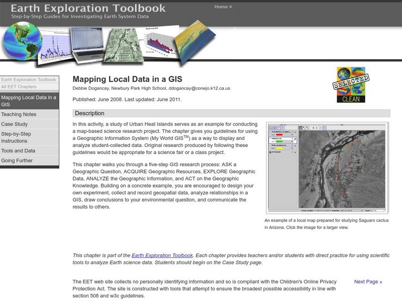
Serc: Mapping Local Data in a Gis
In this activity, students will learn how to conduct a map-based science research project using a Geographic Information System (GIS). They will design an experiment, collect and record geospatial data, analyze geospatial relationships...
Science Education Resource Center at Carleton College
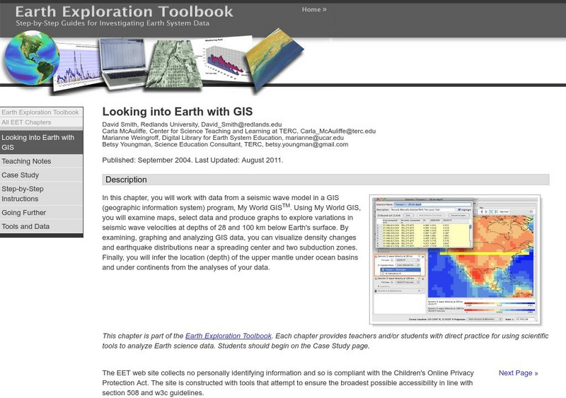
Serc: Looking Into Earth With Gis
Multi-instructional activity activity where students will work with data from a seismic wave model in a GIS (geographic information system) program. They will examine maps, select data, and produce graphs to explore variations in seismic...
TeachEngineering
Teach Engineering: What Is Gis?
Geographic information systems (GIS) are important technology that allows rapid study and use of spatial information. GIS have become increasingly prevalent in industry and the consumer/internet world in the last 20 years. Historically,...
National Geographic
National Geographic: The Politics of Place Naming
Learners use an online geographic information system (GIS) to uncover the geographic and social context of streets named after Martin Luther King, Jr. They map street locations to identify regional patterns in honoring King, consider...
Science Education Resource Center at Carleton College
Serc: Gis Exploration Using the High Plains Aquifer Databases
Students work with databases and GIS to develop saturated thickness maps. Each database consists of observations made by drillers where they have encountered the High Plains aquifer base and the annual water-level measurements taken in...
TeachEngineering
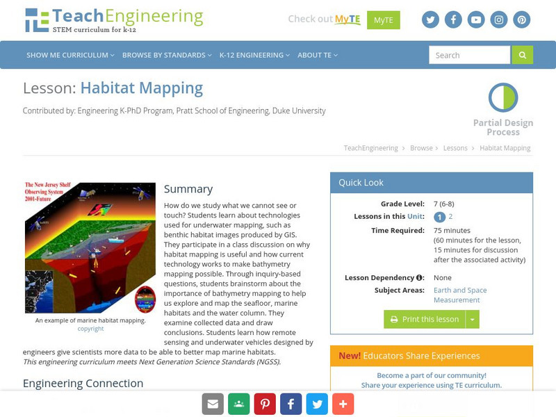
Teach Engineering: Habitat Mapping
The marine environment is unique and requires technologies that can use sound to gather information since there is little light underwater. In this lesson, the students will be shown benthic habitat images produced by GIS. These images...
Science Education Resource Center at Carleton College
Serc: Using Gis to Map Emergency Response to Municipal Flooding
In this lesson students will work with municipal data and computer mapping to determine the priorities of emergency response to flooding in a local town. This can be used as a lab activity or as a group or individual project, and can be...
American Geosciences Institute
American Geosciences Institute: Earth Science Week: Mapping Quake Risk
Students use GIS to observe worldwide patterns of earthquakes and volcanoes and analyze the relationships of those patterns to tectonic plate boundaries. Then they identify cities at risk.
TeachEngineering
Teach Engineering: Projections and Coordinates: Turning a 3 D Earth Into Flatlands
Projections and coordinates are key advancements in the geographic sciences that allow us to better understand the nature of the Earth and how to describe location. These innovations in describing the Earth are the basis for everything...
Science Education Resource Center at Carleton College
Serc: Investigating the Ocean Algal Blooms
This NOAA computer-based activity is designed to teach students in grades 9-12 how satellite imagery and remote sensing can be used to monitor harmful algal blooms (HABs). This lesson teaches students how to read and interpret satellite...
Science Education Resource Center at Carleton College
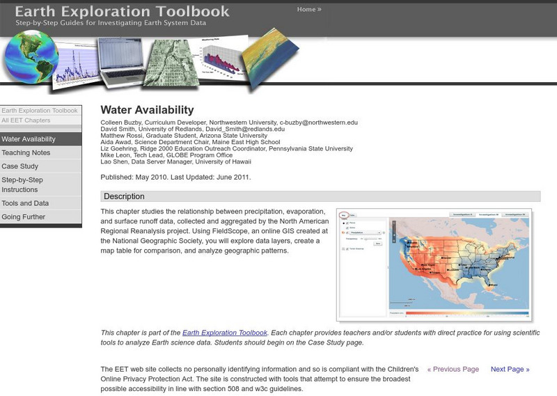
Serc: Water Availability
This lesson helps young scholars discover the relationship between precipitation, evaporation, and surface runoff data. Using FieldScope, an online GIS created at the National Geographic Society, students will explore data layers, create...


