Curated OER
University of Texas: Sudan: Political Map
A political map of Sudan showing its states' boundaries, major cities and highways, and neighboring countries. Clicking on the map will enlarge it. From the Perry Castaneda Collection.
Curated OER
University of Texas: Lesotho: Political Map
A political map of Lesotho showing the region boundaries, major cities and highways, and the surrounding country, South Africa. Clicking on the map will enlarge it. From the Perry-Castaneda Collection.
University of California
Ucmp: The World's Biomes
This is an introduction to the major biomes on Earth. This page groups biomes into five major types: aquatic, deserts, forests, grasslands, and tundra. Information on climate, animal/plant life, and much more is given for each of type...
Other
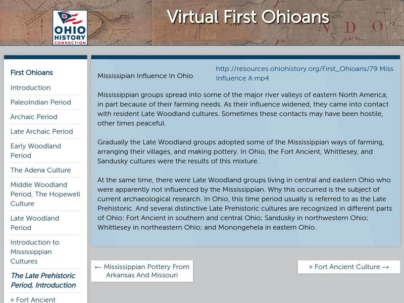
Ohio Historical Society: The Late Prehistoric Period
Groups of different peoples were living all over major river valleys. Many times they would come in contact with each other. Authors discuss the groups living in the Ohio River Valley such as the Fort Ancient, Whittlesley, Sandusky and...
Khan Academy
Khan Academy: Introduction to the Himalayas
The Himalayas are the highest mountain ranges in the world, and from them flow the major rivers of Asia. The kingdoms of Nepal and Bhutan are located along the Himalayan ranges, and the Tibetan plateau lies to their north. Although the...
Curated OER
Educational Technology Clearinghouse: Maps Etc: Fall River, Massachusetts, 1919
A road map of Fall River, Massachusetts, from the Official Automobile Blue Book (1919), showing the Taunton River, Mount Hope Bay, North and South Watuppa Pond, major roads, railroads and stations, bridges, the steamer route to New York,...
Curated OER
Etc: Maps Etc: Fall River Business District, 1919
A road map of the business district of Fall River, Massachusetts, from the Official Automobile Blue Book (1919), showing the major roads, railroads and street car lines, major landmarks, and the suggested Blue Book route.
Curated OER
Educational Technology Clearinghouse: Maps Etc: Red River Expedition, 1864
A map of Louisiana and Mississippi showing the area of the Red River Campaign of 1864 during the American Civil War (March 10 to May 22). The map shows major cities and towns, forts, railroads, rivers, and coastline, and includes the...
Curated OER
Educational Technology Clearinghouse: Maps Etc: White River Junction, 1919
A road map of White River Junction, Vermont, from the Official Automobile Blue Book (1919), showing the White River, principal roads, railroads and stations, bridges, and major landmarks.
Curated OER
Educational Technology Clearinghouse: Maps Etc: Wells River, 1919
A road map of Wells River Vermont, and the nearby town of Woodsville, New Hampshire, from the Official Automobile Blue Book (1919), showing principal roads, railroads, and major landmarks.
Curated OER
Wikipedia: Mississippi River
From Wikipedia, which is an online free encyclopedia, find a very comprehensive entry that includes the history, geography, navigation, major cities along the river and notable bridges.
Curated OER
Wikipedia: Mississippi River
From Wikipedia, which is an online free encyclopedia, find a very comprehensive entry that includes the history, geography, navigation, major cities along the river and notable bridges.
Curated OER
Wikipedia: Mississippi River
From Wikipedia, which is an online free encyclopedia, find a very comprehensive entry that includes the history, geography, navigation, major cities along the river and notable bridges.
Curated OER
Etc: Maps Etc: Major Political Divisions of Asia., 1888
A map of Asia from 1888 showing country boundaries at the time, capitals and major cities, rivers, canals, lakes, deserts, terrain, and coastal features.
INTERNET Red 2000
All About Spain: Galicia
Known as the land of 1000 rivers, Galicia's rivers cross from the mountainous regions to the coast. Use this site to learn about the climate the first cultures, folklore and the major attractions. Available in English, Spanish or German.
Encyclopedia of Earth
Encyclopedia of Earth: Rio Grande
Read here about the infamous Rio Grande Rivers. This article includes information regarding its history and various facts and figures about it including its agriculture, major cities, dams and other issues.
Lonely Planet
Lonely Planet: France
This Lonely Planet map of France shows the rivers and mountain ranges as well as major cities. Clicking on a site labeled in color brings the reader to information about that site. Includes Corsica.
PBS
Pbs Learning Media: Quest: Water Pollution Investigation
Water pollution is the contamination of water resources by harmful wastes or toxins. This type of pollution can be dangerous to animals and plant populations in and around lakes, rivers, polluted groundwater areas or oceans, and can pose...
INTERNET Red 2000
All About Spain: Spain a Z
A wonderful alphabetized listing from All About Spain of towns, cities, monuments, facts, and major attractions in the "All About Spain" website. Find your location and click on the link. This site is available in Spanish, English, and...
Washington State University
Washington State University: Edith Wharton Society: Summaries & Discussion Questions for Wharton's Works
If you need to get a handle on what's important in some of Wharton's major works, this site will be helpful. Summaries and questions are contributed by Wharton Society members from various universities.
Other
Upper Canada Village
Ever want to know what life in Canada was like back in the 1860's? Well, look no further than this site! Information can be found on topics such as: daily life, communication, manufacturing, religion and more. Also be sure to check out...
Library of Congress
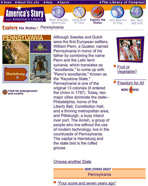
Loc: America's Story: Pennsylvania
Can you name the "two major cities" that dominate the state of Pennsylvania? At this site from the Library of Congress you can learn about how William Penn named this state and find answers to many other questions, as this site takes a...
Khan Academy
Khan Academy: Eakins, the Champion Single Sculls (Max Schmitt in a Single Scull)
Thomas Eakins' "Champion Single Sculls" was his first major success by demonstrating his remarkable technical skill. View pictures of this tranquil scene and read the backstory of this painting.
Johns Hopkins University
Johns Hopkins University: Alabama State Maps
Check out this site from the Johns Hopkins University Applied Physics Laboratory for several different types of maps for the state of Alabama. You can find everything from a county map to a shaded relief map. If you are looking for map...
Other popular searches
- Geography Major Rivers
- Major Rivers in Tennessee
- World Major Rivers
- Major Rivers in Arkansas
- Major Rivers in Us
- Major Rivers u.s.
- Major Rivers in World
- Major Rivers United States
- Major Rivers United Statea
- Major Rivers Us
- Major Rivers United Stat Ea
- Major Rivers Texas Map


