Royal Geographical Society
An Introduction to Maps
First graders are introduced to a variety of maps such as globes, street maps, atlases, and different types of floor plans. The focus of the instructional activity requires individuals to create their own plan of the classroom using...
California Academy of Science
Tropical Belt
Where in the world is the equator? Explore a world map with your class, coloring in oceans, continents, and rainforests while locating the three major lines of latitude: the equator, Tropic of Cancer, and Tropic of Capricorn. Discuss how...
NASA
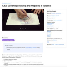
Lava Layering: Making and Mapping a Volcano
Looking for an out-of-this-world volcanic activity? Geologists study Earth's volcanic history and the neighboring planet Mars by modeling volcanic eruptions, lava flows, and building a shield volcano. Participants use graph paper and...
Chicago Botanic Garden
Climate Change Around the World
Look at climate change around the world using graphical representations and a hands-on learning simulation specified to particular cities around the world. Using an interactive website, young scientists follow the provided...
Perkins School for the Blind
Beginning Map Skills
Maps can be so much fun, they help you understand spatial relationships, distance between objects, and can foster direction skills. Budding cartographers with visual impairments use the Wheatley Tactile Diagramming Kit to create their...
Curated OER
Maps and Globes: Where in the World are We?
Students explore maps and globes. In this introduction to map and globe concepts lesson, students identify features of physical maps, political maps, and globes. Students locate land and water, and recite a poem about the names of the...
Curated OER
Political Legends and Map Symbols
Students identify the legend and map symbols. In this map skills lesson, students use a world map to find various locations using a map key.
Curated OER
Soil: Food Mapping
Students examine the concept of food mapping . In this agriculture instructional activity, students explore food and agriculture systems in the United States in the past and today. Students complete food mapping activities.
Curated OER
Geography Awareness Week: Practice Mapping Skills
You won't get lost, after learning map skills during Geography Awareness Week.
Saline Area Schools
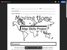
Moving Home: A Map Skills Project
You have just been informed you are moving, but you have the choice of three locations. Where do you go? This is the question class members answer in a map skills project. Learners examine three locations using maps, gather...
Curated OER
Mapping Perceptions
Young scholars create and read maps. In this map skills lesson, students draw a map of their neighborhood, then use skills acquired during map-making to interpret a classmates map and a map of the Ming Dynasty.
Curated OER
Way to Go! Create a Road Map Game
Young scholars create a travel game of one of the United States. They research a state of their choice and create a travel game using a common road map. They interpret map symbols as they calculate map mileage for their games. They...
Oregon State
World Map of Plate Boundaries
Young geologists piece together the puzzle of plate tectonics in an earth science lesson. Given a physical map of the world, they search for land formations that indicate the location of different types of plate boundaries.
California Academy of Science
Exploring the Impacts of Feeding the World
Approximately 50 percent of people in the world who are chronically hungry work in agriculture. While it seems counter-intuitive, the farther you live from a farm, the more food options are available. Scholars explore concepts related to...
National WWII Museum
On Leave in Paris: Maps as Primary Sources
Primary sources—even those that seem mundane—offer a window into those who experienced history. Using a Red Cross map offered to soldiers stationed in Paris after World War II alongside worksheet questions, scholars consider what life...
American Institute of Physics
The Tuskegee Weathermen: African-American Meteorologists during World War II
Chances are good that young scholars have heard of the Tuskegee Airmen but few would predict that these pilots had their own support in the form of the Tuskegee Weathermen. These Black meteorologists were recruited and trained to provide...
Smithsonian Institution
Borders with the World: Mexican-American War and U.S. Southern Borderlands
The Mexican-American War created social borders—not just physical ones. Scholars learn about the effects of the Mexican-American War on the people living in the borderlands using text excerpts, maps, and partnered activities. Academics...
Scholastic
The Seven Wonders of the Ancient World
The Colossus of Rhodes, the Hanging Gardens of Babylon, the Lighthouse of Alexandria. Young archeologists investigate the Seven Wonders of the Ancient World, map their locations, and match their names with brief descriptions and images....
Curated OER
Revolution! The Atlantic World Reborn
This resource is rich with primary and secondary source material regarding major events in the Atlantic world during the Age of Revolution. While there are suggested classroom activities toward the beginning of the resource, its true...
Curated OER
World Geography - Climate Notes
A challenging activity helps young geographers explore the temperatures around the world! They study how the Earth's land temperatures are affected by their proximity to an ocean, as well their latitude and their altitude. A very...
Curated OER
Chapter 6: Christianity and the Transformation of the Roman World
The history of the Christian faith makes up a fascinating element of western civilization, as demonstrated in this comprehensive online resource. A chapter quiz features short-answer questions based on the ministry of Jesus, the spread...
Curated OER
Map Quiz 1
In this map quiz 1 worksheet, students answer questions relating to geography, not interactively, then scroll down to see the answers.
Curated OER
Eastern European Studies
One instructional activity, three projects. Learners explore Eastern Europe and mark Eastern European countries on a map. They then collect and record census data on thirteen different countries, and write a 3-5 page expository essay on...
Curated OER
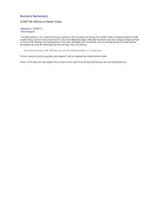
Mt. Whitney to Death Valley
This is an intriguing problem that brings together real-world data, technology, and mathematical problem solving. If visibility wasn't an issue, could you see from the highest point in the lower 48 states, Mt. Whitney, to the lowest...
Other popular searches
- World War Ii Map
- World War I Map
- World War 2 Map
- World War I Outline Map
- World Climate Map
- World Biomes Map
- World Outline Map
- Blank Map of the World
- World Political Map
- Ancient World Greece Map
- World Time Zone Map
- Deciduous Forests Map World


