Oregon Secretary of State
Oregon State Archives: The Oregon Blue Book
The Oregon Blue Book, the official state directory and fact book, provides a wealth of information about Oregon. "FACTS," contains almanac references, economy information, scenic images, capital city information, and state buildings;...
Library of Congress
Loc: Map Collections 1500 2002
This collection provides maps dating back to 1500 up to the present. The collection includes: cities, towns, discovery and exploration, conservation and environment, military battles, cultural landscapes, transportation, communication,...
Other
American Meteorological Society: Data Streme Atmosphere
This site provides an extensive amount of weather information. Includes current information, forecasting, and historic weather related events. Weather map symbols and terminology explained.
Discovery Education
Discovery Education: Lesson Plans Library K 5
This resource presents a lesson plan library which holds hundreds of lesson plans organized by grade level and subject area. Often rooted with an Internet research piece, each lesson plan contains specific objectives, procedures,...
PBS
Pbs Learning Media: Primary Source: Environmental Preservation Progressive Era
This collection uses primary sources to environmental preservation in the Progressive Era.
ClassFlow
Class Flow: The United States Virgin Islands America's Caribbean
[Free Registration/Login Required] This flipchart introduces the major islands of the United States Virgin Islands. It also introduces calypso music, symbols, and maps.
PBS
Pbs: American Experience: Mass Exodus From the Plains
This site is from PBS.org explaining the migration of people out of the plains during the dust bowl. Use this article to learn all about the reasons people left and where they went.
Alabama Learning Exchange
Alex: Where Am I?
This lesson teaches one of the geography themes called location. Students will learn about absolute location and relative location as they search the globe. This lesson plan is made possible through the ALEX and the U.S. National Park...
US Department of State
Us Department of State: Archive: Hungary
Provides information on the Republic of Hungary's geography, people, government, economy, history, national security, foreign relations, and U.S.-Hungarian relations. (January 2012)
US Department of Labor
Bureau of Labor Statistics: Name That State!
Interactive activity in which students click on the identify the state. Choose from easy, medium, hard levels.
Alabama Learning Exchange
Alex: United States Virtual Tour Guide
Groups/pairs of learners will create a short digital slide presentation and travel brochure on one of the 50 U.S. states. They will do research in encyclopedias/atlases and on the Internet to include information on geography, official...
ClassFlow
Class Flow: States Game
[Free Registration/Login Required] Students identify states in a fun game allowing them to gain points and win against teammates.
ClassFlow
Class Flow: Labeling United States
[Free Registration/Login Required] This flipchart allows the students to use a 50 states map to move the states into their correct position on the map and identify states by their abbreviations. The flipchart is designed to help students...
Curated OER
Mr X
Mr. X of the Letter People has disappeared in one of the 50 U.S. States. You must use your U.S. geography skills to help track him down.
Curated OER
Map
Mr. X of the Letter People has disappeared in one of the 50 U.S. States. You must use your U.S. geography skills to help track him down.
Read Works
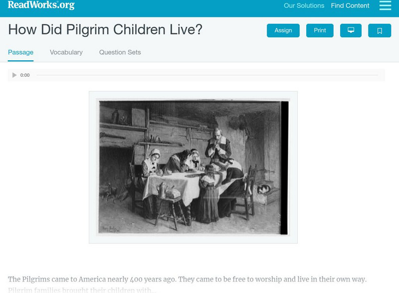
Read Works: How Did Pilgrim Children Live?
[Free Registration/Login Required] An informational text about the typical lifestyle of a Pilgrim child. A question sheet is available to help students build skills in reading comprehension.
Other popular searches
- U.s. Geography Lesson Plans
- U.s. Geography Southeast
- U.s. Geography Slavery
- U.s. Geography Northeast
- U.s. Geography California
- U.s. Geography Oregon
- U.s. Geography and Economics
- U.s. Geography Pdf
- U.s. Geography West
- U.s. Geography Activity
- U.s. Geography + Slavery
- U.s. Geography Southwest


