Curated OER
Using My Nasa Data To Determine Volcanic Activity
Students use NASA satellite data of optical depth as a tool to determine volcanic activity on Reunion Island during 2000-2001. They access the data and utilize Excel to create a graph that has optical depth as a function of time for the...
Curated OER
See the World
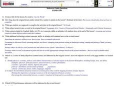
Seventh graders locate and write creatively about different places and their cultures. They identify the physical, economic, social, political and cultural characteristics of selected regions in the Eastern Hemisphere. Finally, 7th...
Curated OER
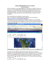
Using Imported Data in Excel
Learners import atmospheric data from the internet. In this earth science lesson, students graph the data they collected. They complete the worksheet after the activity.
Curated OER
Mi país
Students research Spanish-speaking countries on the Internet and make a presentation.
Curated OER
Circle the Earth - Explore Surface Types on a Journey around Earth
Learners use CERES percent coverage surface data with a world map in locating landmasses and bodies of water at Earth's Equator.
Curated OER
Traveling Across America
Students plan a trip to a state capital of their choice with a budget of $2,000. The budgets include site seeing, lodging, food and all necessary expenses. Students keep a daily journal and maintain their budget.
Curated OER
Forests, Deserts, & Grasslands
Third graders complete activities to become familiar with the content and vocabulary related to biomes and ecosystems in order to mainstream into the classroom.
Curated OER
Geography and Social Sciences
Students identify and explain how geography is connected to other academic areas and historical events.
Curated OER
Science: Trouble in the Troposphere
Students research a NASA Website and record information about an assigned city's tropospheric ozone residual monthly climate. In groups, they graph the information for the past year. They form new groups and compare their city's...
Curated OER
Prescription For Survival
Young scholars engage in a lesson that is focused upon the survival of populations located in third world countries. They conduct research using a variety of resources while focusing upon the delivery of healthcare with the help of...
Curated OER
Designing a Park and Lodge
Learners view a video entitle Great Lodges of the National Parks. They design, in groups of three, their own park based on research of a specific area. Each member of the group possess a different task in order to accomplish the project.
Curated OER
Biodiversity in Our Watershed
Eighth graders create a database of animals and birds in the area in which they live. They use molded prints to make a cast of an imprint from a specific animal. They identify and research animals and prepare an outline for an oral...
Curated OER
Where Do You Fit In?
Students study habitats and then draw a picture of their own habitat which includes the location of food, water, and shelter, and the concept of space. then they cut their habitat in half and discuss how this would affect their lives.
Curated OER
Rain and Our Environment
First graders understand the importance of rain in our environment by writing a sentence about something in existence that would cease to be without rain. They use describing words to describe the living thing's color and draw and color...
Curated OER
Satellite Images- Night Time
Fourth graders study the geography and population distribution of various places on earth. They utilize actual satellite images of the night sky (lights showing heavily around area of dense population) to study and make observations...
Curated OER
Using Solar Energy
Students experiment to determine the effect of solar energy on the temperature of water. In this renewable resources lesson, students measure the temperature of water in a flask that is exposed to sunlight. They relate their results...
Curated OER
News Broadcasts
Students create a news broadcast after studying example broadcasts about disaster relief organizations. In this broadcast news lesson plan, students research disaster relief organizations and then write a news broadcast related to a...
Curated OER
J’adore Blackpool, Chuck*: YouTube Lures the French to the British Seaside Resort
Ninth graders explore the British seaside resort Blackpool. In this British Travel ESL activity, 9th graders read an article and answer guided reading questions. Students create a short story about what a person did in Blackpool.
National Geographic
National Geographic: Create a Weather Map
Students will learn about symbols that are used to represent weather and then use the day's weather to create a weather map for their state. Includes handouts and website links, as well as links to downloadable coloring books full of...
Other
Bureau of Meteorology: The Weather Map
Explains what a weather map is and how it is prepared. Describes what weather maps show, typical weather patterns in Australia, the use of weather charts, temperature, and wind speed.
CK-12 Foundation
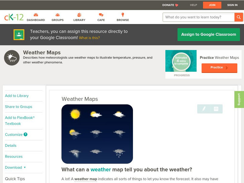
Ck 12: Earth Science: Weather Maps
[Free Registration/Login may be required to access all resource tools.] How meteorologists create and read weather maps.
CK-12 Foundation
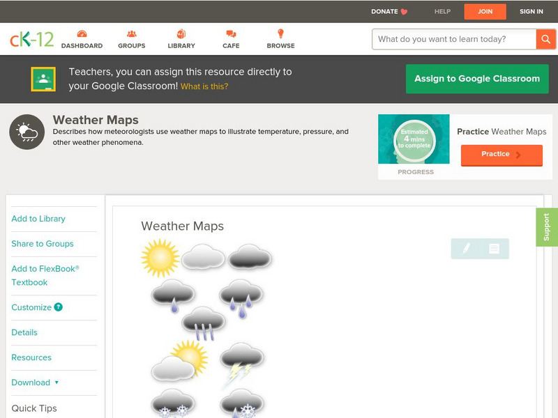
Ck 12: Earth Science: Weather Maps
[Free Registration/Login may be required to access all resource tools.] How meteorologists create and read weather maps.
Discovery Education
Discovery Education: Weather Maps
This site provides a lesson plan in which groups of students will each investigate a different type of weather map use for weather forecasting. Also includes discussion questions, extension ideas, and links to additional sites for more...
National Weather Service
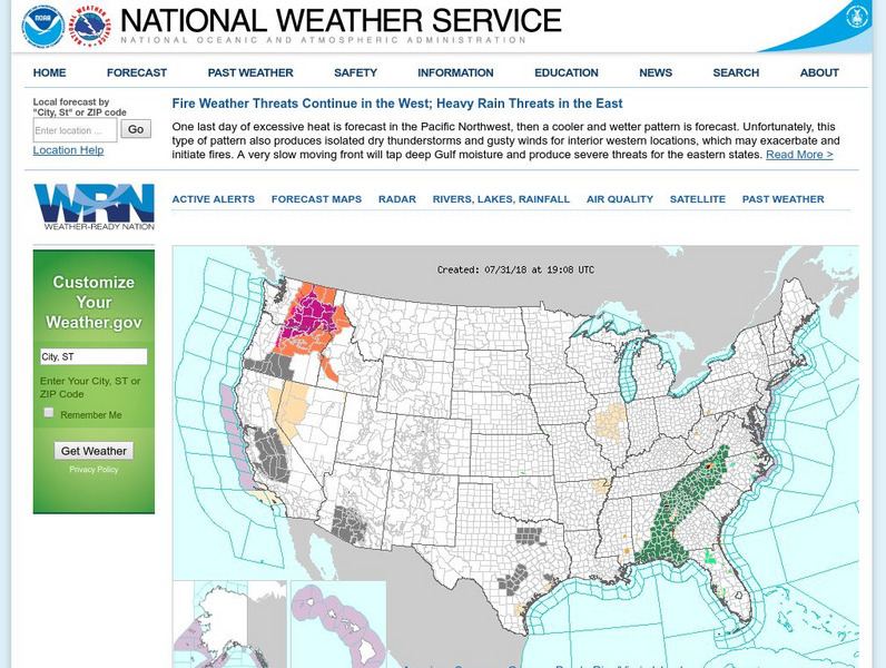
National Weather Service
Official United States Weather Bureau source for weather maps and forecasts. Contains forecasts, maps, warnings, data, current conditions, and storm warnings.
Other popular searches
- Reading Weather Maps
- Interpreting Weather Maps
- Interpret Weather Maps
- Surface Weather Maps
- Creating Weather Maps
- Weather Maps With Fronts
- Pressure and Weather Maps
- Analyzing Weather Maps
- Construct Weather Maps
- Winds and Weather Maps
- Interactive Weather Maps
- Just Interpret Weather Maps


