PBS
Pbs: El Nino
You can link to the anatomy of El Nino, chasing El Nino, and El Nino's reach. There is a resource page and a search page.
NASA
Nasa Earth Observatory: El Nino's Extended Family Introduction
This article discusses cycle of global weather patterns and its relation to El Nino. Learn how global weather patterns are being tracked by satellites and how scientists are predicting weather patterns up to a year in advance.
TeachEngineering
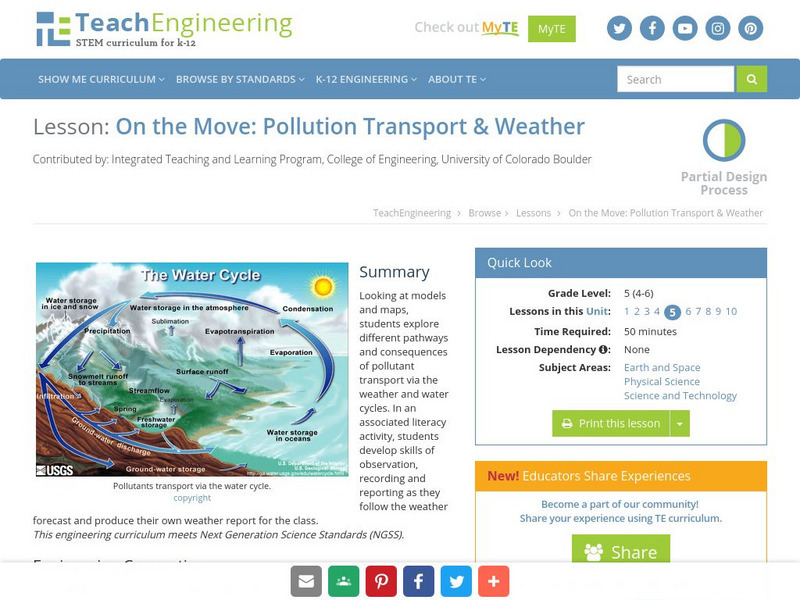
Teach Engineering: On the Move
Looking at models and maps, students explore different pathways and consequences of pollutant transport via the weather and water cycles. In an associated literacy activity, students develop skills of observation, recording and reporting...
Other
Official Travel Information for Chile
Virtually visit Chile with this offering from the official tourism corporation, a private non-profit entity, whose mission is to promote Chilean travel industry internationally. Find out about Chilean activities, culture, weather,...
World Facts US
World Facts: Geography of Venezuela
Features detailed information about the topography, climate, and hydrography of Venezuela. Click on the link to take a look at the map.
Latimer Clarke Corporation
Atlapedia Online: Jamaica
A complete profile of Jamaica including highlights on its geography, climate, people, modern history, economy, communications, and military. Click on the maps to enlarge them.
Nations Online Project
Nations Online: Botswana
Offers a country profile and travel guide to the African nation of Botswana, background overview, and numerous links to comprehensive information on the nation's culture, history, geography, economy, environment, population, news,...
BBC
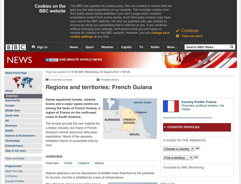
Bbc: News: Regions and Territories: French Guiana
The BBC presents an overview of facts on the South American region of French Guiana. Discusses its leaders, the media, and has a link to the weather there.
Climate Zone
Climate in Mexico
Tables for the different climate regions in Mexico show the average monthly temperature, rainfall and snowfall in this North American country. General geographical information and a map are also included.
Climate Zone
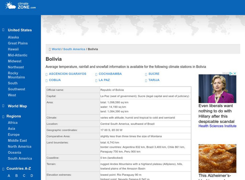
Climate Zone: Bolivia
A valuable guide to climate information in Bolivia broken down by stations. Information includes average temperature, rainfall, and snowfall. Some general facts and a map are also featured.
University of California
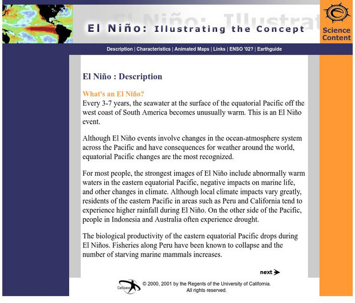
Earthguide: El Nino: Illustrating the Concept
Do you know what happens during a typical El Nino? This overview provides a description, characteristics, and animated maps showing sea surface temperature changes during past El Nino events.
Institute of Global Environment and Society
Iges: Homepage
This site allows you to access a great deal of information about the link between ocean and climate. Latest El Nino/La Nina predictions and maps are one of many data sets featured.
Extreme Science
Extreme Science
Explore the science behind the "extremes" in our world. Organized into sections on earth science, the animal kingdom, technology, and space science, this site opens your eyes to giant creatures, amazing technological advances, vast...
Other
Mcdwn: Climate
Wonderful site! Learn about climates and gather helpful information. When you are done, take the climates quiz to show what you have learned.
NASA
Nasa: Hurricanes
Learn about hurricanes and how they are created. Features include video animation, the histories of the most devastating hurricanes and topics such as hurricane naming and hurricane study.
Math Science Nucleus
I. Science Ma Te: Integrating Science, Math and Technology
This site offers a wealth of online textbook-related materials that encourage the discovery of science in the world around us. Enter the site to access material on specific topics. Each section contains reading material (complete with...
Other
Earth Journalism Network: Climate Commons
A unique interactive tool that embeds news articles and information about climate change into a map of the United States. Users are able to explore what the impact of climate change at a local, regional or national level, as well as...
Cayuse Canyon
The Us50: Information About Chicago, Il
Explore the city of Chicago using this interactive map. If you know what section of the city you want to look at, you can click on the zipcode. Can also access current weather conditions.
Cayuse Canyon
The Us50: Information About st.louis, Mo
Here you can explore the city of St. Louis using the interactive map and a list of zipcodes. You can also see the current weather conditions and forecast.
Cayuse Canyon
The Us50: Information About New York, Ny
This US50.com site lets you explore New York City using an interactive map, view a list of zipcodes, or check the current weather.
Cayuse Canyon
The Us50: Information About Seattle, Wa
Experience Seattle through this interactive map, list of zipcodes, and link to current weather conditions.
Cornell University
Cornell University: The Regional Climate Centers
Site provides information on the National Climatic Data Center's Regional Climate Centers Program. Click a region on the map of the United States and find information about that region's climate!
University of Illinois
University of Illinois Urbana Champaign: Trends Method in Mathematics
Site provides another method that can be used to forecast the weather: the trend method. This method is based on prior movement of the storm. Site utilizes data, charts, maps, and predictions.
Other
Country Reports: Tajikstan
This resource provides information on the following topics: government, economy, people, geography, military, communications, transportation, and weather.
Other popular searches
- Reading Weather Maps
- Interpreting Weather Maps
- Interpret Weather Maps
- Surface Weather Maps
- Creating Weather Maps
- Weather Maps With Fronts
- Pressure and Weather Maps
- Analyzing Weather Maps
- Construct Weather Maps
- Winds and Weather Maps
- Interactive Weather Maps
- Just Interpret Weather Maps


