Science Education Resource Center at Carleton College
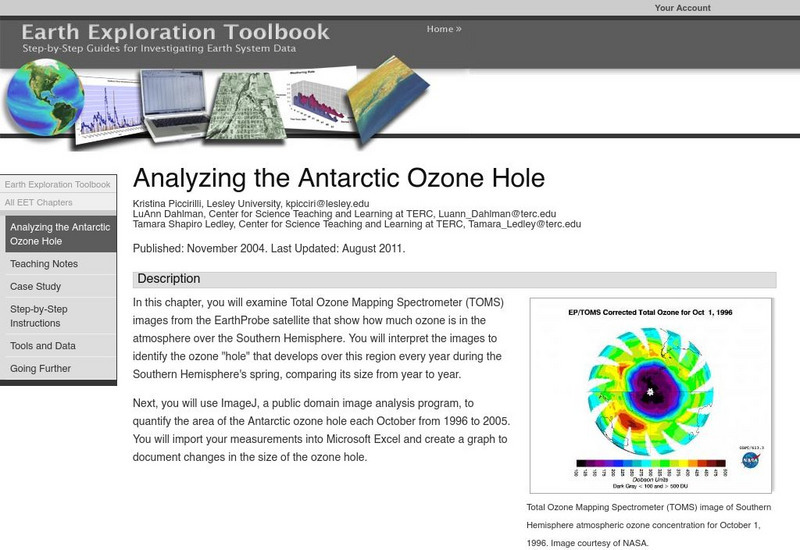
Serc: Analyzing the Antarctic Ozone Hole
In this chapter, you will examine Total Ozone Mapping Spectrometer (TOMS) images from the EarthProbe satellite that show how much ozone is in the atmosphere over the Southern Hemisphere. You will interpret the images to identify the...
Science Education Resource Center at Carleton College
Serc: Predicting the Spring Phytoplankton Bloom in the Gulf of Maine
This instructional activity helps students understand the variables that influence the abundance of phytoplankton. Students will make predictions about the timing of the spring phytoplankton bloom in the Gulf of Maine. Furthermore, data...
Science Education Resource Center at Carleton College
Serc: Detecting El Nino in Sea Surface Temperature Data
Through data analysis and observations of patterns, learners learn about normal seasonal sea surface temperature variation as well as extreme variation, as in the case of El Nino and La Nina events, in the equatorial Pacific Ocean.
Science Education Resource Center at Carleton College
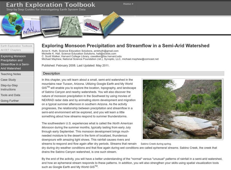
Serc: Exploring Monsoon Precipitation and Streamflow in a Semi Arid Watershed
Students use both My World GISTM and Google Earth maps to investigate streamflow and precipitation relationships in the vicinity of Tucson, AZ.
Science Education Resource Center at Carleton College
Serc: Exploring Seafloor Topography
Users learn to generate and interpret graphs that show seafloor depth versus distance by using the GeoMapApp.
Science Education Resource Center at Carleton College
Serc: Whither Arctic Sea Ice?
In this lesson students will access and analyze sea ice data. By the end of the lesson students should be able to measure the seasonal variations in sea ice extent, discover long-term changes occurring in sea ice extent, visualize the...
Science Education Resource Center at Carleton College
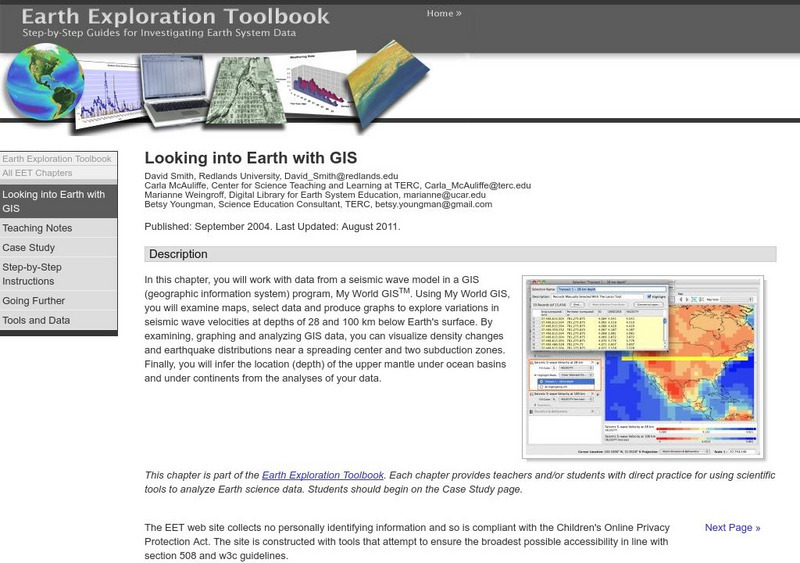
Serc: Looking Into Earth With Gis
Multi-lesson activity where students will work with data from a seismic wave model in a GIS (geographic information system) program. They will examine maps, select data, and produce graphs to explore variations in seismic wave velocities...
Science Education Resource Center at Carleton College
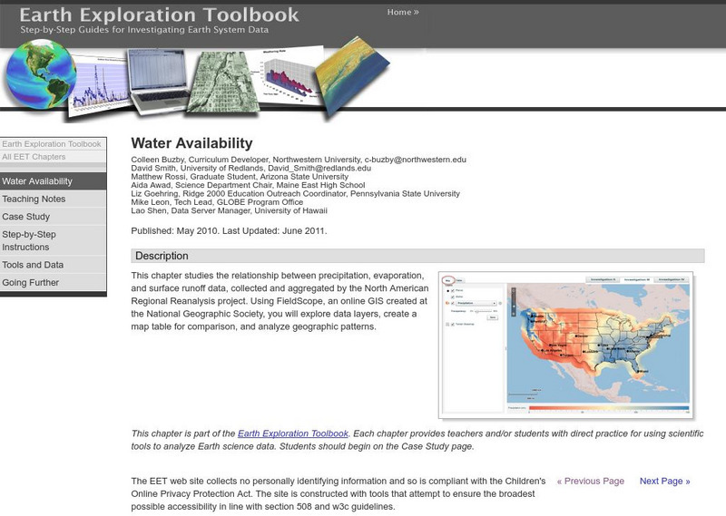
Serc: Water Availability
This lesson helps students discover the relationship between precipitation, evaporation, and surface runoff data. Using FieldScope, an online GIS created at the National Geographic Society, students will explore data layers, create a map...
Science Education Resource Center at Carleton College
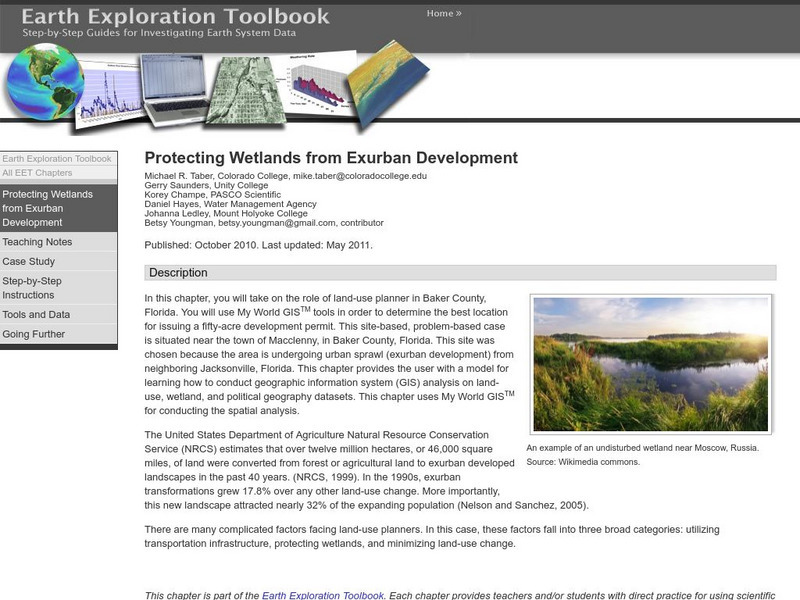
Serc: Protecting Wetlands From Exurban Development
Students will take on the role of land-use planner using My World GISTM tools in order to determine the best location for issuing a fifty-acre development permit and then navigate land-use, wetland, and political geography data.
Science Education Resource Center at Carleton College
Serc: Exploring Characteristics of Wetlands
Students will use the RSIS maps to identify a wetland site for an environmental club. They use different criteria in selecting their sites, as well as determining what information is important to them when creating and comparing reports...
Science Education Resource Center at Carleton College
Serc: Writing to Support the Theory of Plate Tectonics
This lesson helps students use images that depict earthquakes, seafloor ages, topography, and volcanoes, and then make a scientific argument supporting the Theory of Plate Tectonics.
Science Education Resource Center at Carleton College
Serc: Choosing the Best Contours
Using GeoMapApp's interactive elevation base map, experiment to find the best contours for sensibly displaying topography in different landscape regions. Students use contours in different landscape regions to find contour...
Science Education Resource Center at Carleton College
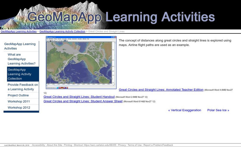
Serc: Great Circles and Straight Lines
Using maps, students explore the concept of distances along great circles and straight lines. Airline flight paths are used as an example.
Science Education Resource Center at Carleton College
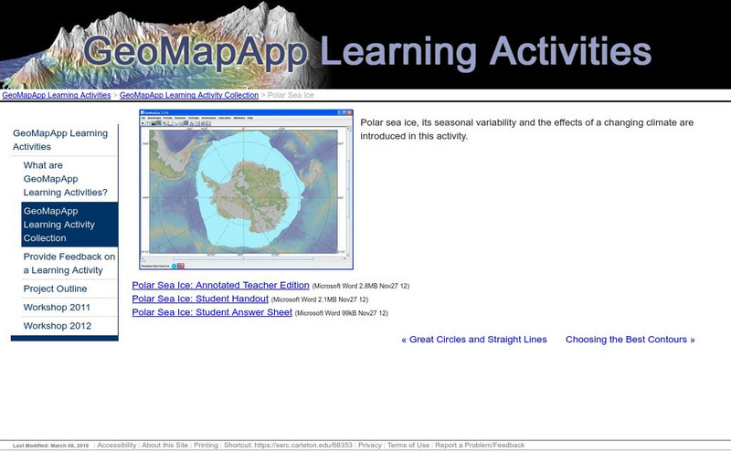
Serc: Polar Sea Ice
Polar sea ice, its seasonal variability, and the impact of a changing climate are investigated in this activity. Students will also explore the differences between polar regions that result from Antarctica being a continent and the north...
Science Education Resource Center at Carleton College
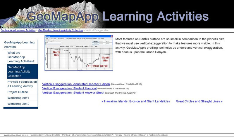
Serc: Vertical Exaggeration
In this lesson, students will utilize GeoMapApp's profiling tool to understand vertical exaggeration, with a focus upon the Grand Canyon.
Science Education Resource Center at Carleton College
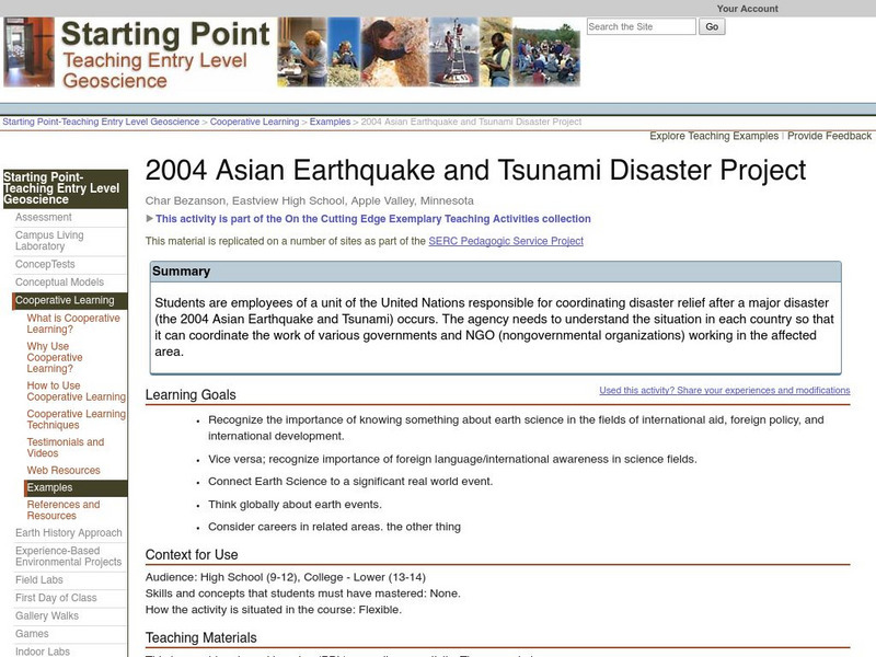
Serc: 2004 Asian Earthquake and Tsunami Disaster Project
Students are employees of a unit of the United Nations responsible for coordinating disaster relief after a major disaster (the 2004 Asian Earthquake and Tsunami) occurs. The agency needs to understand the situation in each country so...
Science Education Resource Center at Carleton College
Serc: Determining the Geologic History of Rocks From a Gravel Deposit
Gravels deposited as a result of continental glaciation are used to teach the application of the scientific method in a cooperative learning mode which utilizes hands-on, minds-on analyses.
Science Education Resource Center at Carleton College
Serc: Igneous Rocks Model
Students use samples of four different types of igneous rocks to observe differences in texture, color, and grain size, and then make inferences about the relative cooling histories and silica content associated with each magma type.
Science Education Resource Center at Carleton College
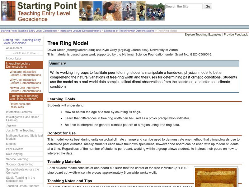
Serc: Tree Ring Model
In this lesson students will manipulate a hands-on, physical model to better comprehend the natural variations of tree-ring width and their uses for determining past climatic conditions. Students use the model as a real-world data...
Science Education Resource Center at Carleton College
Serc: Plate Kinematics
In this activity, students will observe and understand the basic kinematics of plate movement, how oceans are formed during continental rifting, and the relationship between plate geometry and tectonic data such as earthquakes, heat...
Science Education Resource Center at Carleton College
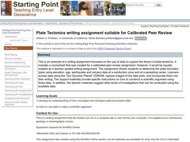
Serc: Writing About Plate Tectonics
This lesson is a writing assignment focussed on the use of data to support the theory of plate tectonics. It includes a scoresheet that was created for a calibrated peer review assignment. The assignment directs learners to determine the...
Science Education Resource Center at Carleton College
Serc: Westward Ho! How Far Is Yonder Mountain
In this instructional activity quantitative skills in geologic context are reinforced. Young scholars create a spreadsheet to calculate the distance of a peak using vertical angles sighted from a wagon train heading directly for the...
Science Education Resource Center at Carleton College
Serc: Angle of Repose
In this activity, students measure the maximum slope at which grains are stable (the angle of repose). They explore how different properties of the sediment influence slope stability and lead to different slope failures (mass movements)....
Science Education Resource Center at Carleton College
Serc: Bot Ec: Percentage of Copper in Ore
Suppose that you are building a new house. It will take about 90 kg (198 pounds) of copper to do the electrical wiring. In order to get the copper in the first place, someone needs to mine solid rock that contains copper, extract the...


